The Green Gully Hike is a 65km, 4 day/5 night thru hike, in the Oxley Wild Rivers National Park, NSW. It is a hut to hut hike, the huts being restored stockman huts built in the 1930s for droving cattle through the ranges. Previous to those days, the land belonged to the Thungutti people. So as well as getting an appreciation for the relentless hills and rugged terrain these people traversed in, we also ventured a historical journey.
NSW Parks have done a pretty good job of making this hike a great adventure for hikers. Groups of up to 6 can do the trail at a time, children must be over 12 due to the waist high river crossings. There are 2 cabins 50m apart at the start of the hike, one for the group’s first night, and one for the group’s last night. The last night’s cabin is pretty cushy, with a full kitchen, so when you arrive on the first night, hikers pop to the last cabin, and put a feast in the fridge and cold drinks to look forward to as a reward on the last night (and just hope no one eats your steak or drinks your beer :-). You can also meet and chat with the group that have just finished, their stories can provide tips for reassurance…or on the other hand may freak out your pre-hike nerves even more 🙂
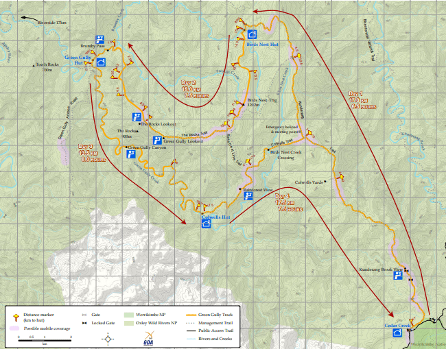
There are then 3 really basic huts along the trail, and hikers have to hike the the trail the same direction, so the way it works is that each group will always have each hut to themselves.
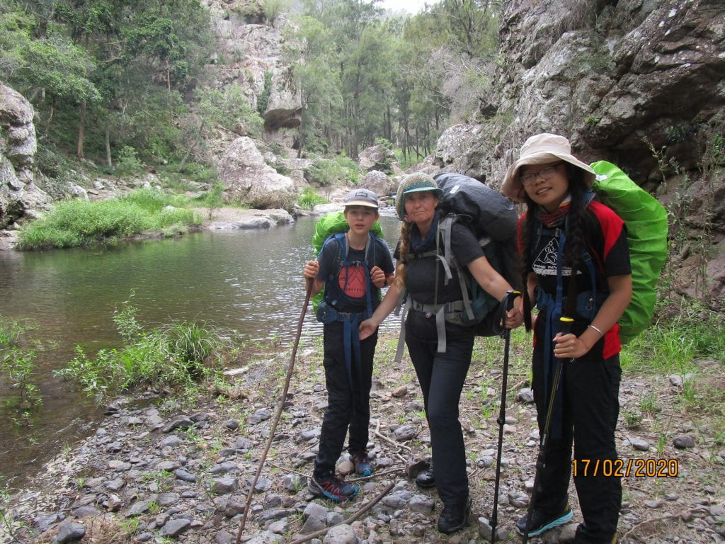
After a long drive to Walcha, then another hour or so on country roads, we finally arrived at our first hut. Having access to our car still, our first night was a good transition of getting used to the basic facilities of the huts, but with a few creature comforts, before we set off the next day with just the packs on our backs.
-
-
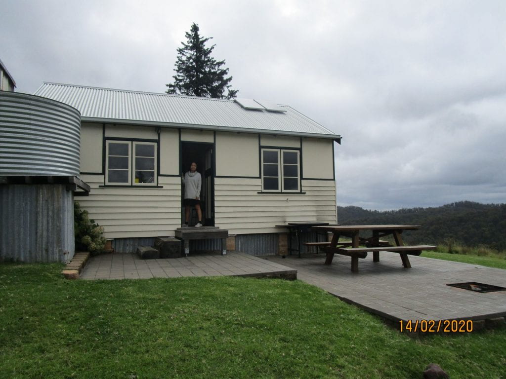
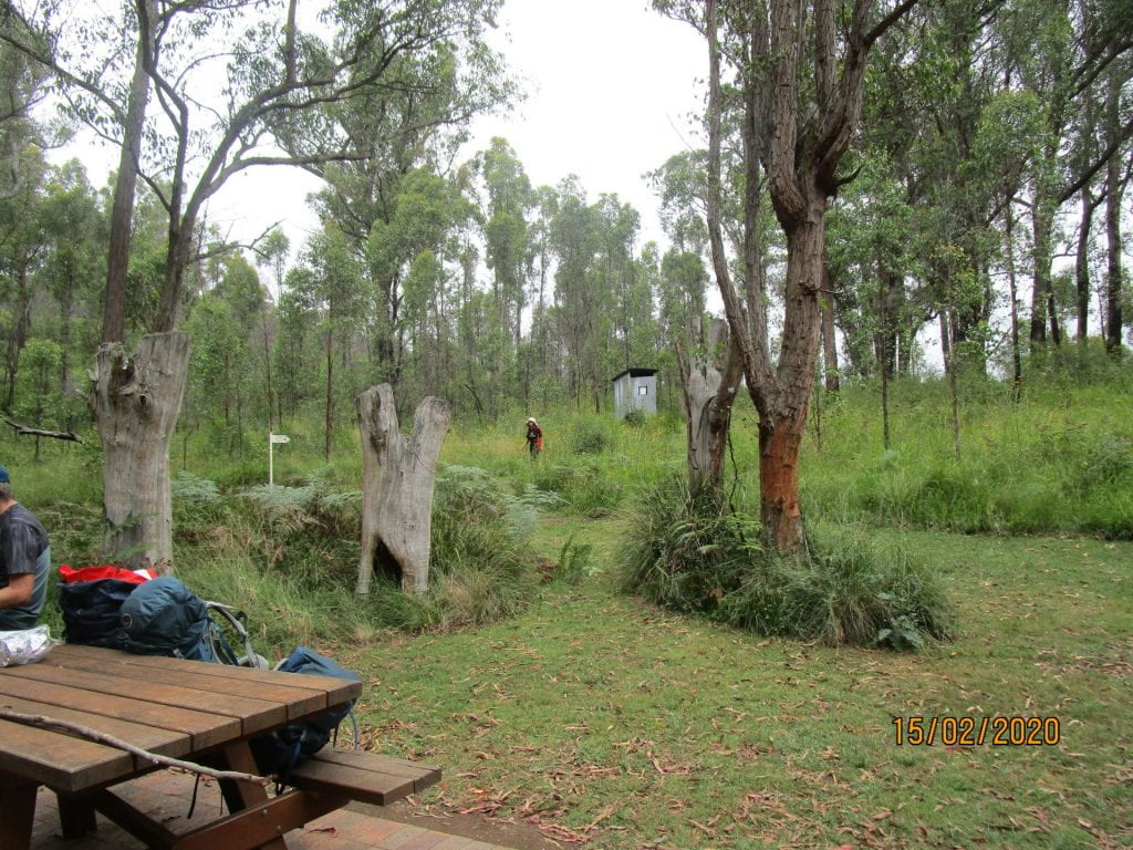
Cedar Creek Hut, the first night cabin
-
-
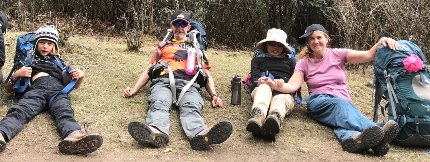
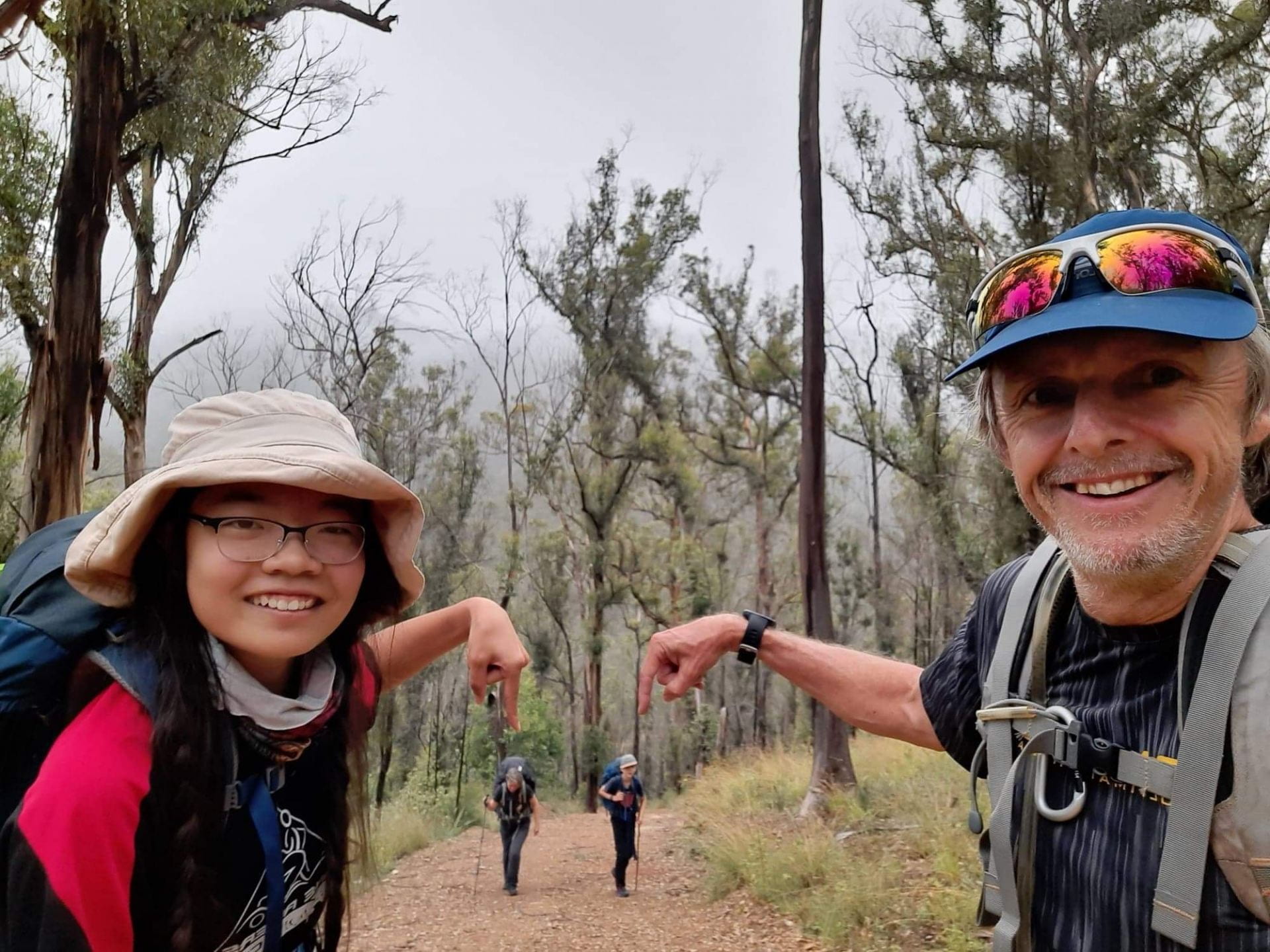
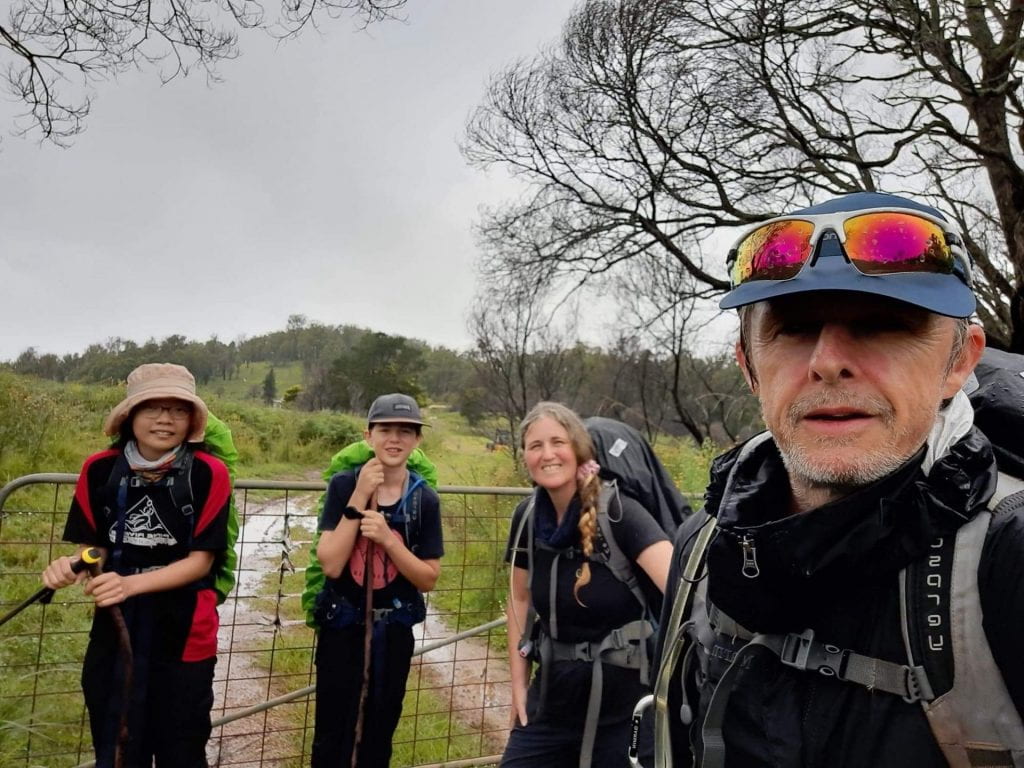
Donning our packs ready for the first day 🙂
-
-
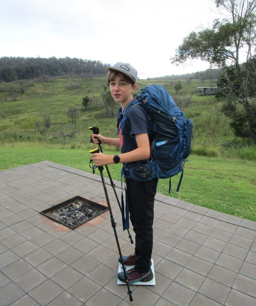
Weighing our packs 🙂
-

-
Making sure the huts are clean for the next guests is hut hiking etiquette 🙂
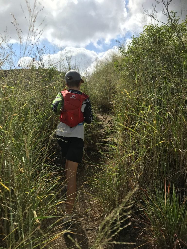
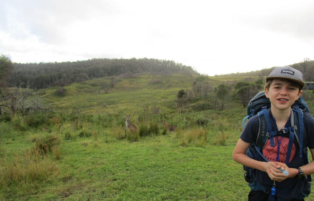
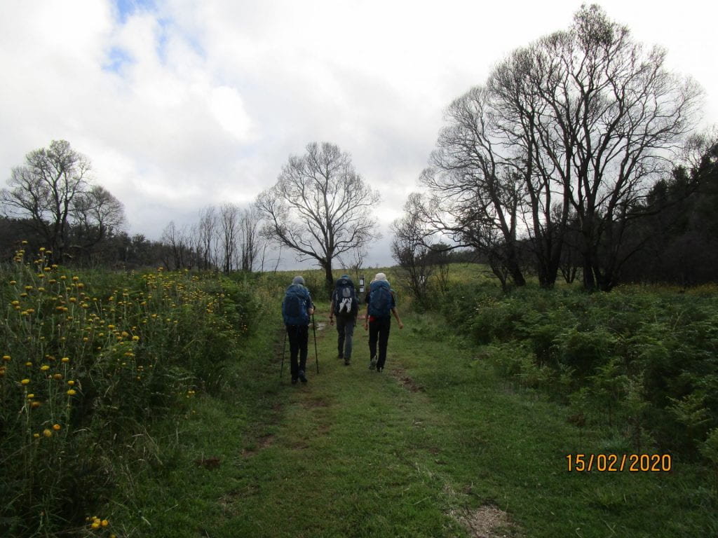
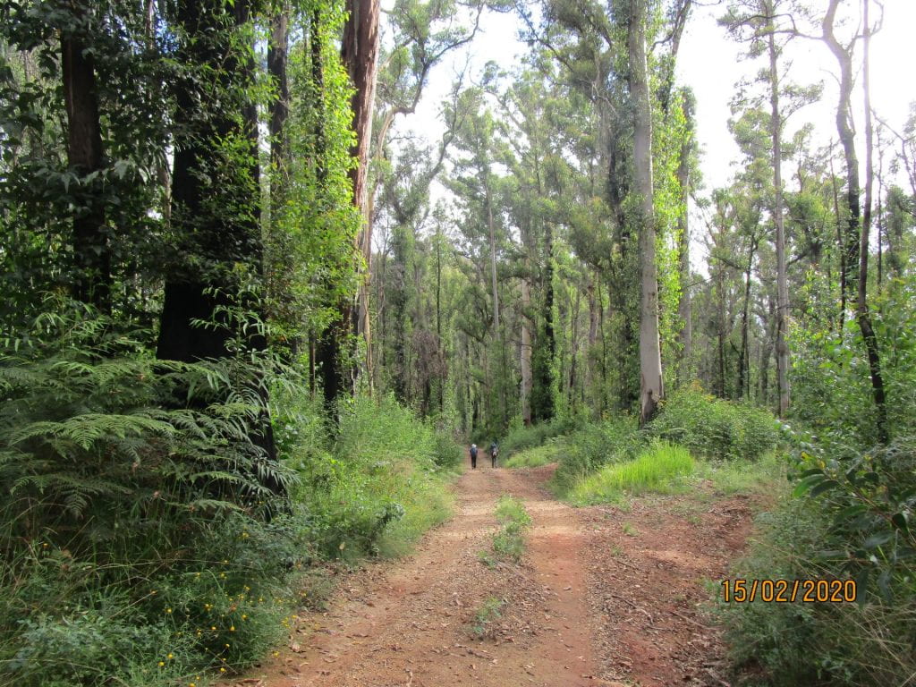
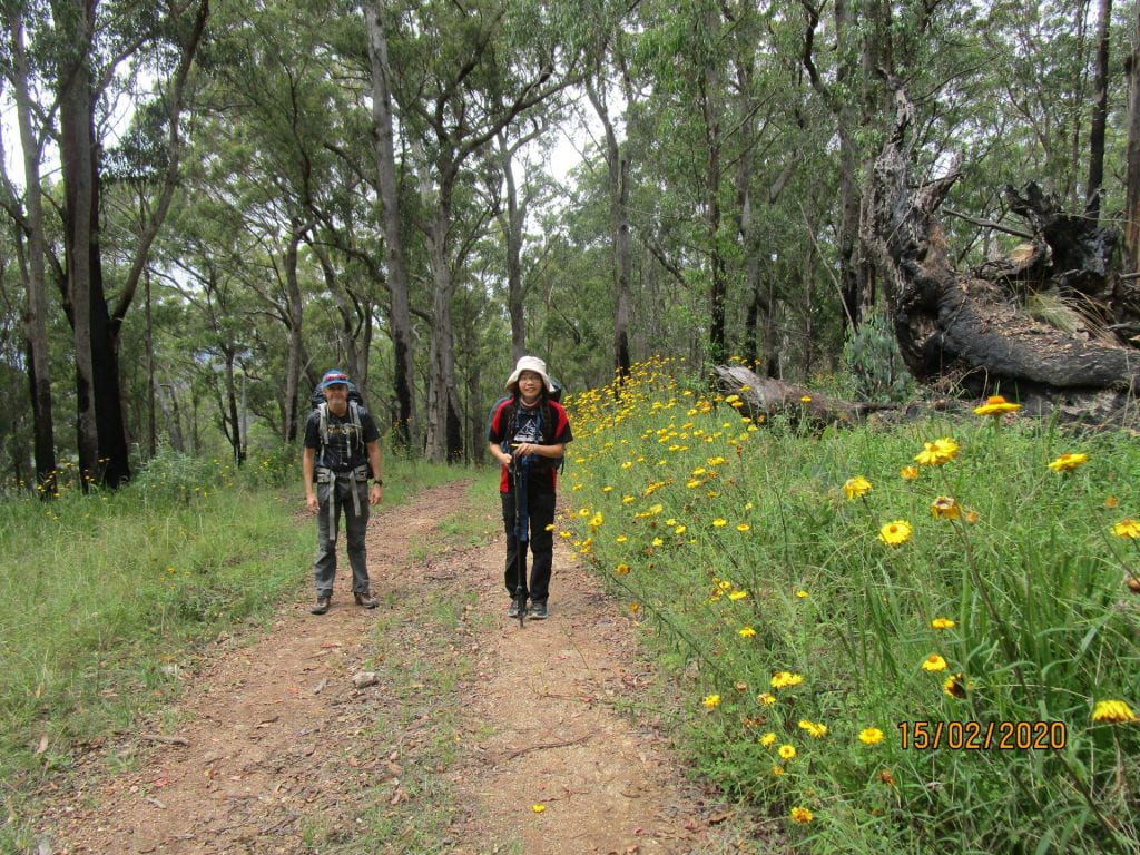
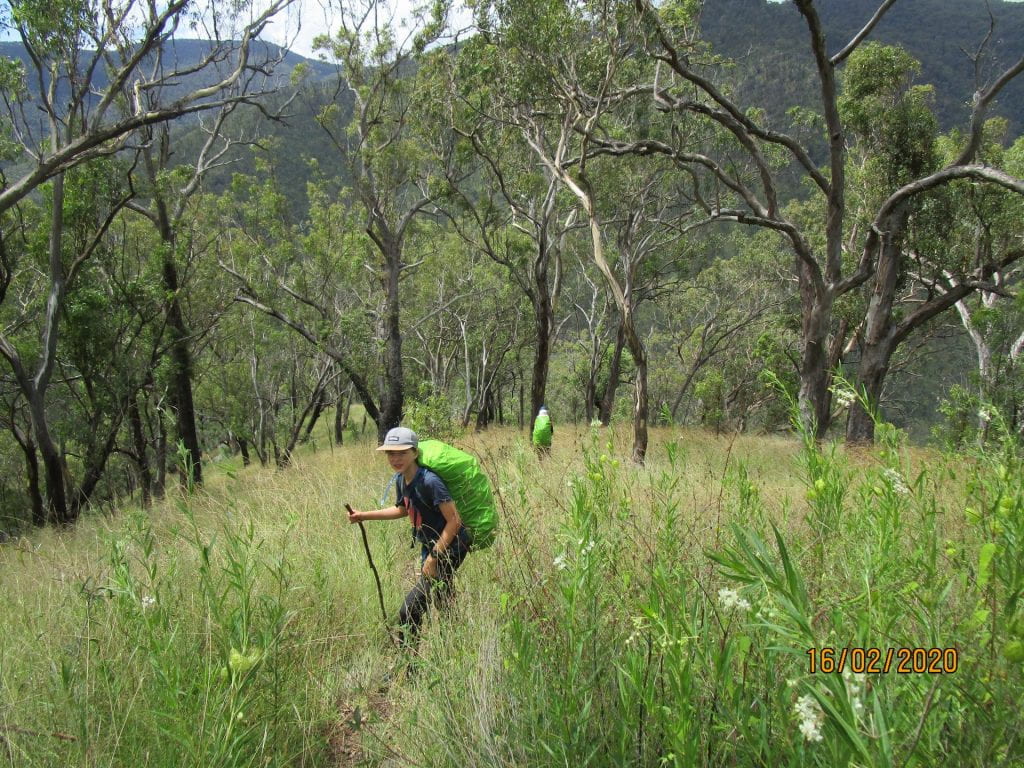
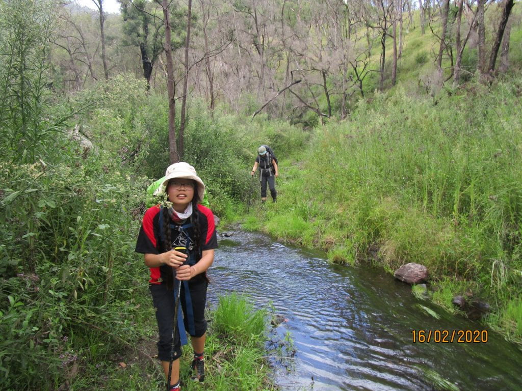
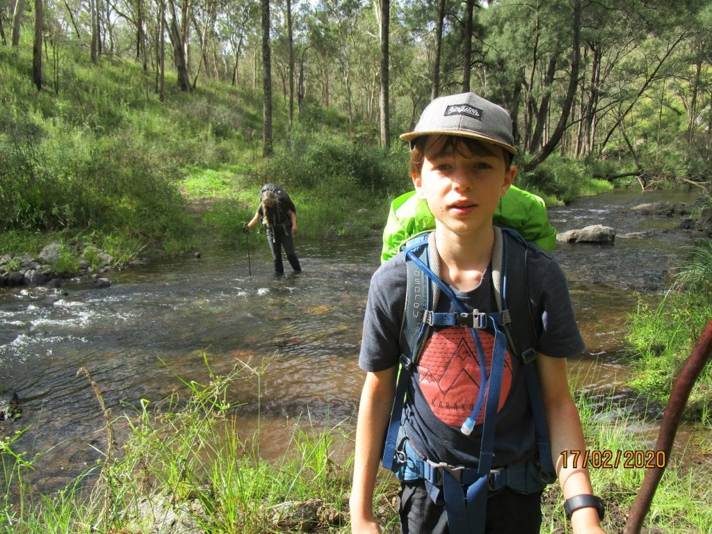
Day one was 17.5km to Birds Nest Hut. It was mostly on fire trails, so was a little boring adventure wise…but still a scenic, hard and undulating track with our packs at their heaviest. With the benefit of hindsight, it was a perfect introduction to getting used to our packs and easing us into the terrain ahead.
-
-
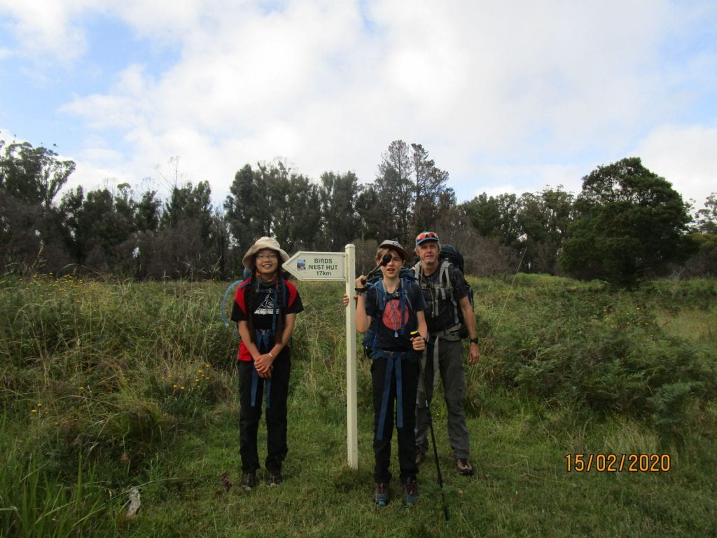
Our first marker…17kms to go 🙂
-
-
And we’re off 🙂
-
-
-
-
Half way 🙂
-
-
Beautiful wild flowers
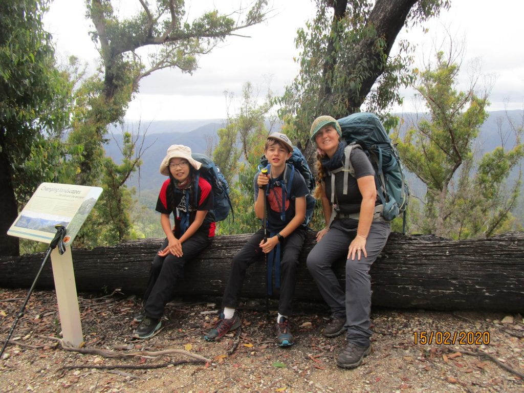
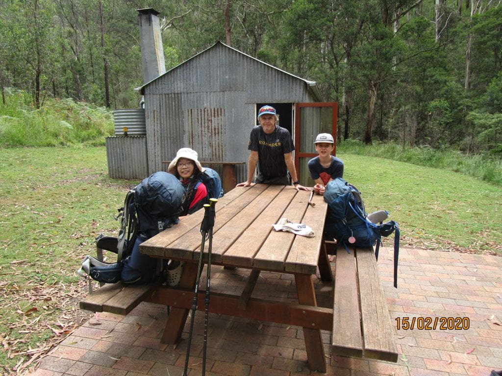
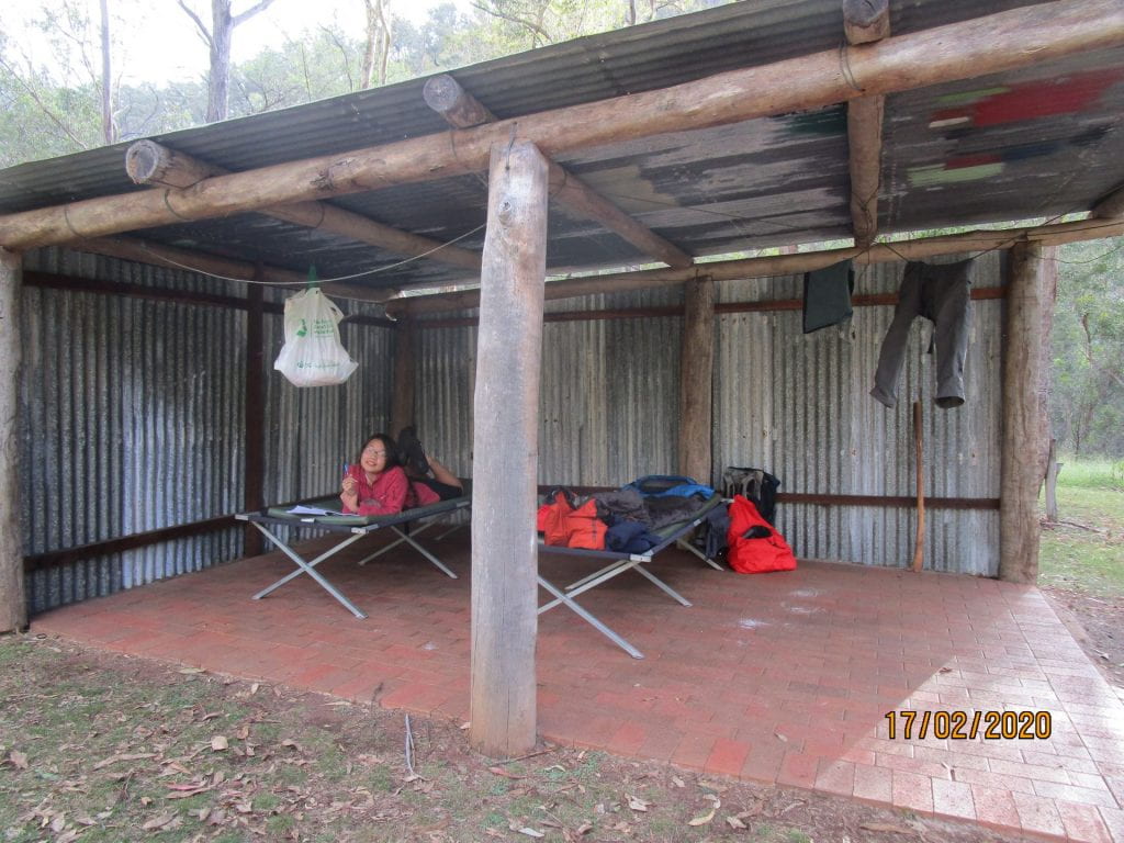
Our first hut was a welcoming site. Basic, but still the luxury of not having to carry tents 🙂
-
-
Arrived at our cabin at last 🙂
-
-
Having a cuppa after a hard day’s hike
-
-
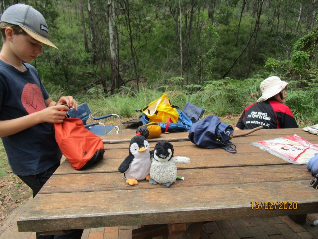
Lucas insisted on bringing Penny and Gunter along 🙂
-
-
Our pit toilet 🙂
-
-
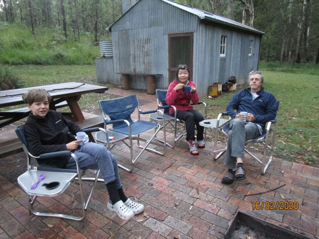
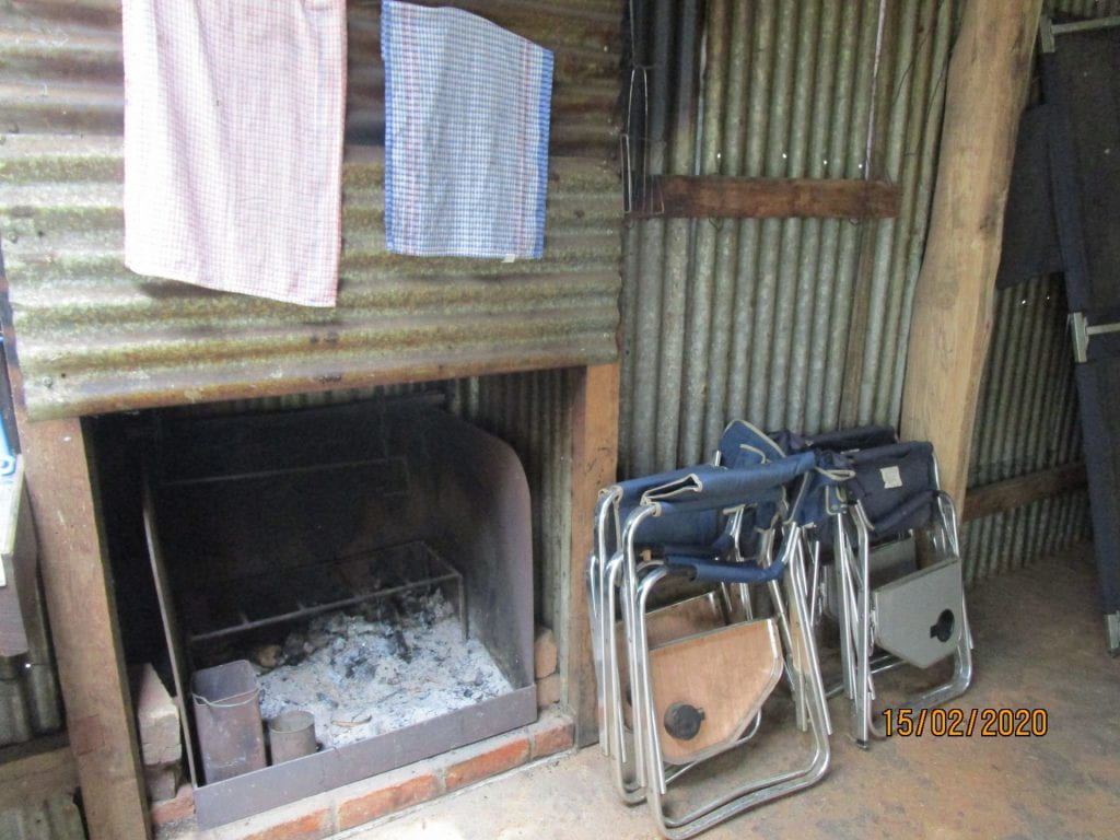
Luxury of chairs 🙂
-
-
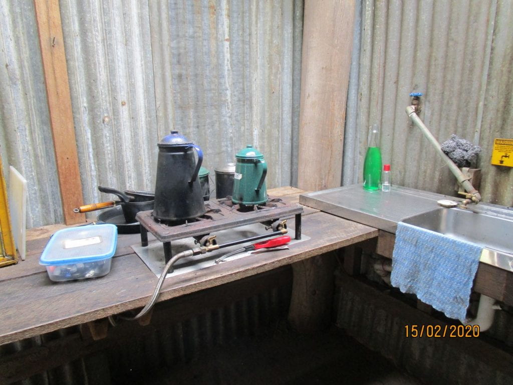
Sink and gas burners in all cabins 🙂
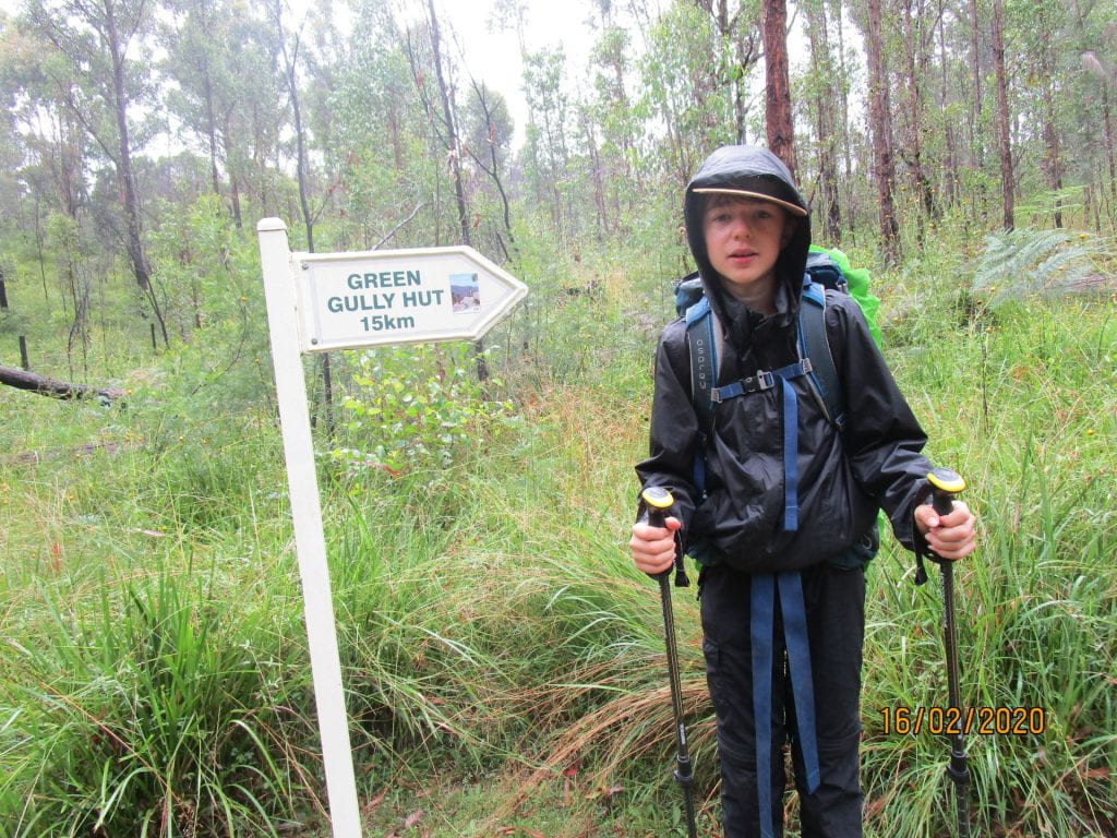
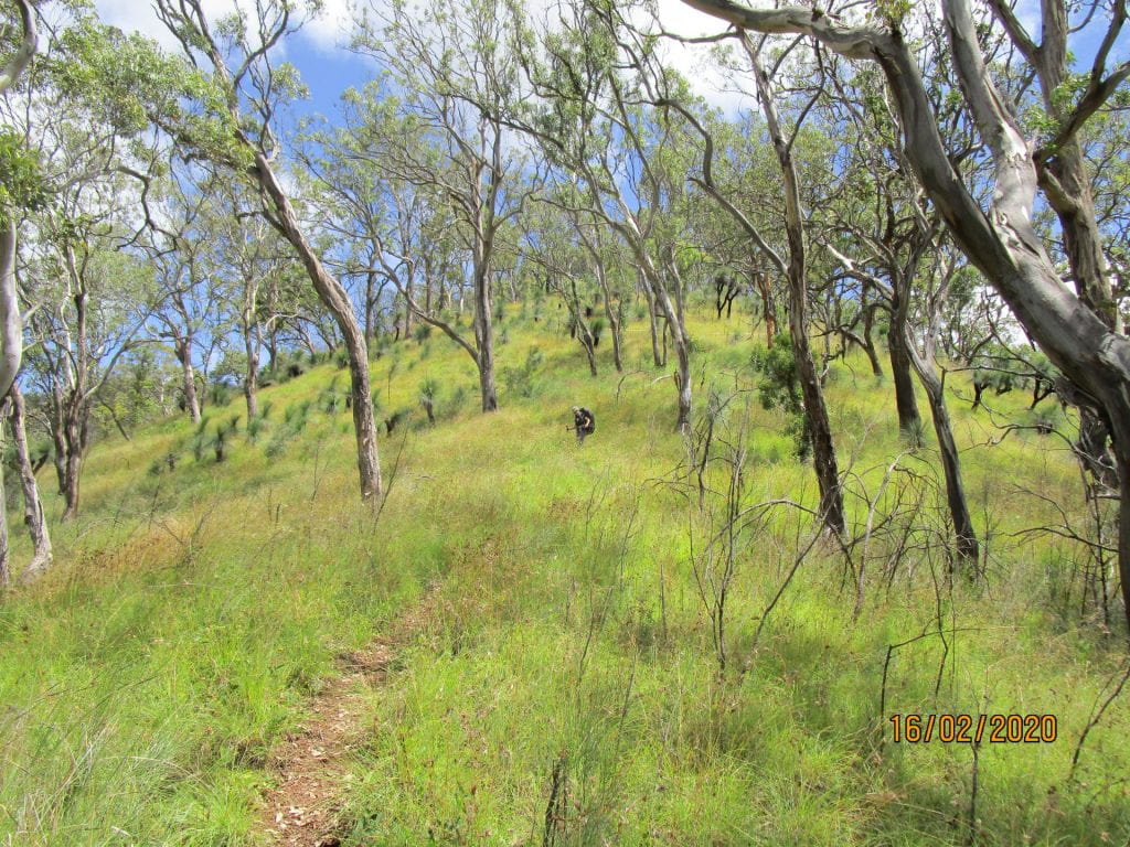
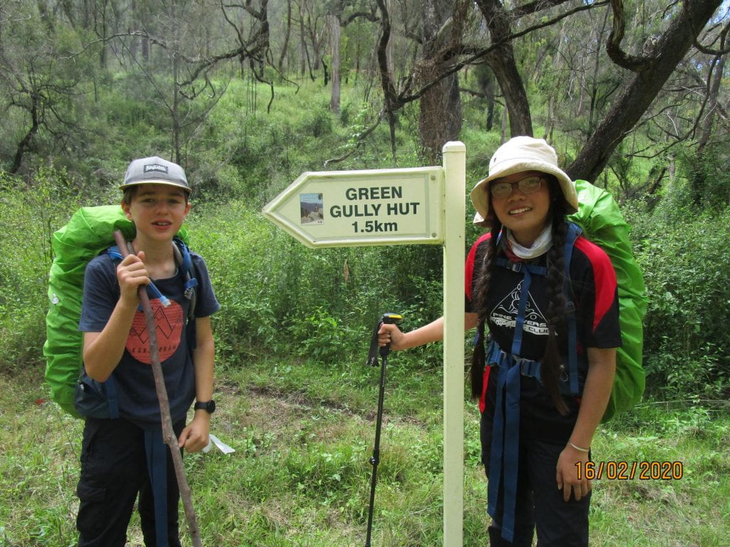
Day two was 15km to Green Gully Hut. This day we had to start with a gruelling climb to the highest point of the track.
-
-
Starting Day 2 to Green Gully Hut
-
-
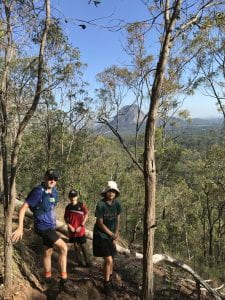
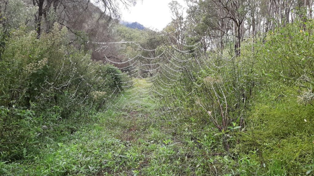
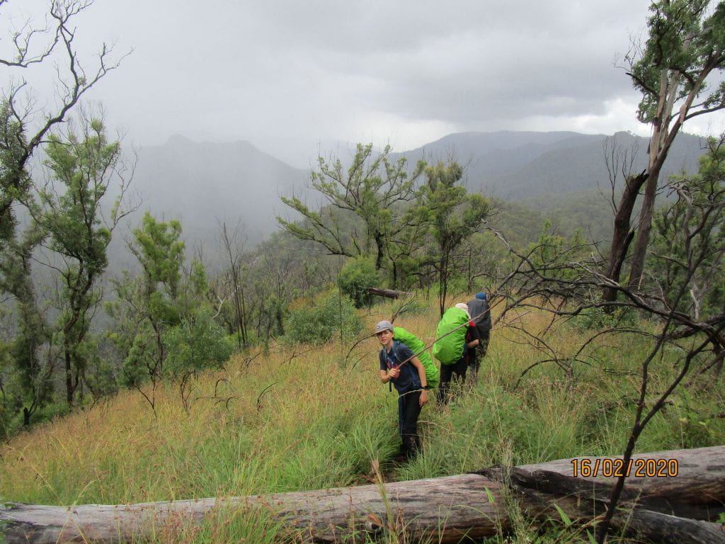
Being the only hikers on each section of the trail means walking into these beauties…needless to say we let Dad lead 🙂 he got a few spider bites in the bargain 🙂
-
-
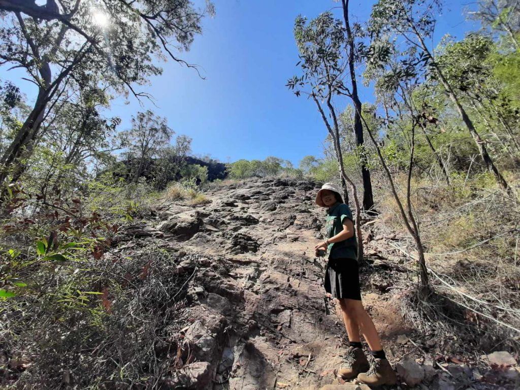
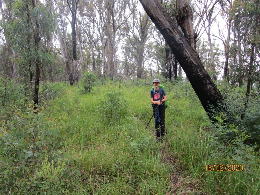
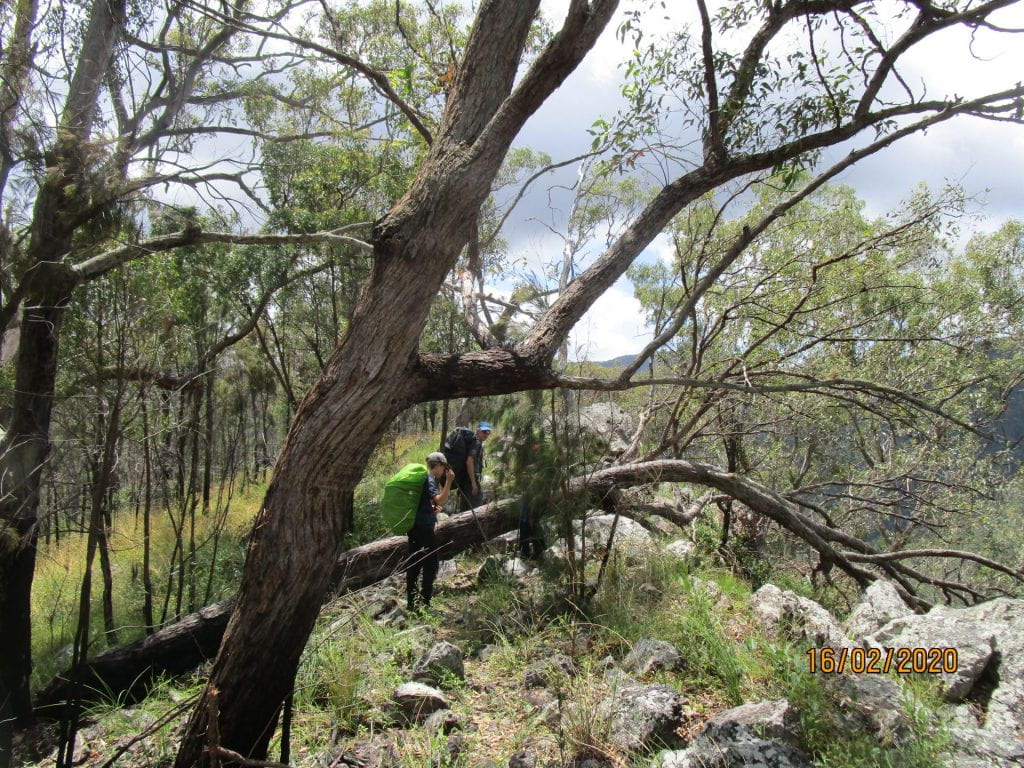
Not much of a trail on this day…we had to constantly be alert to make sure we were going the right way
-
-
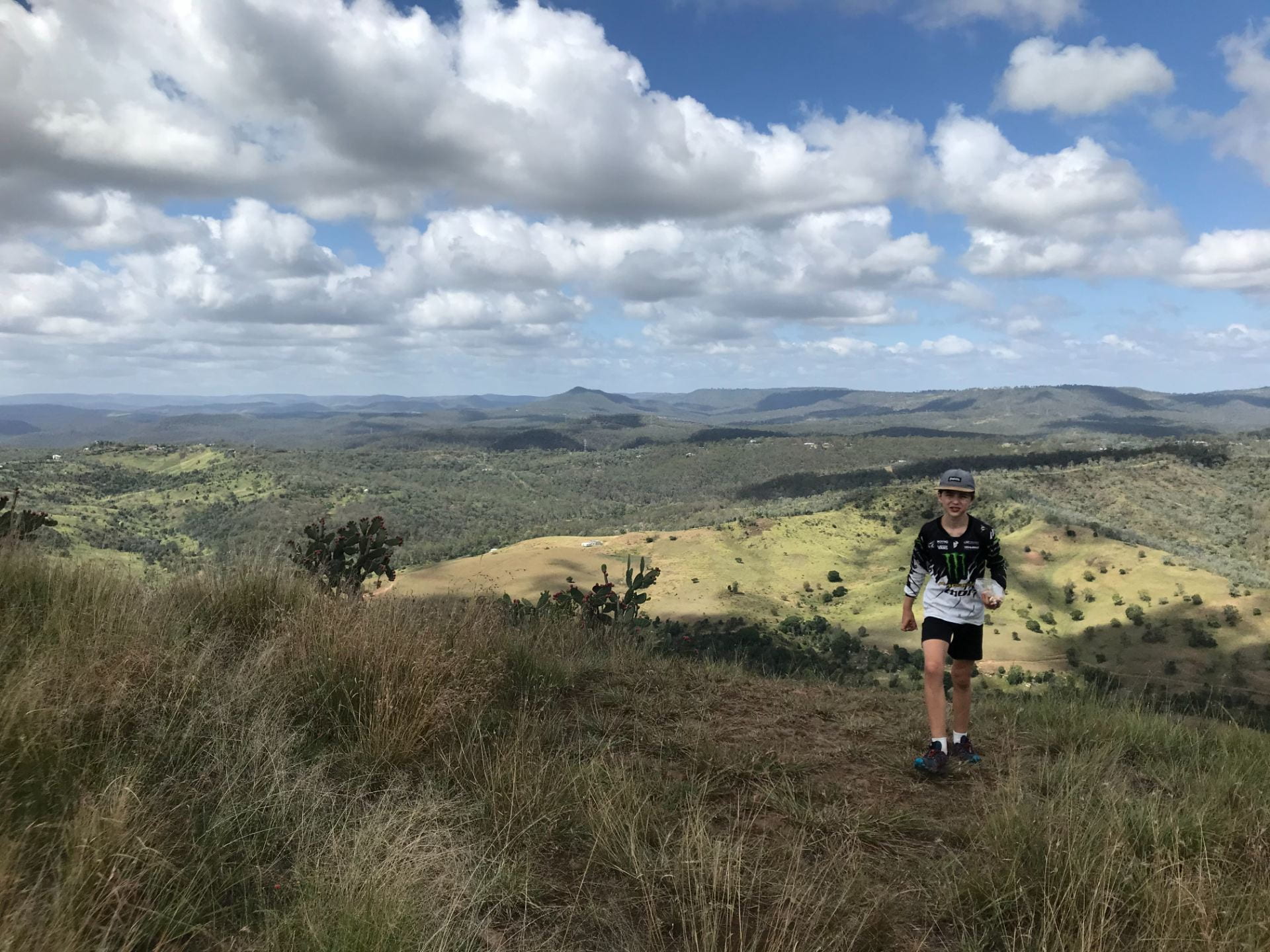
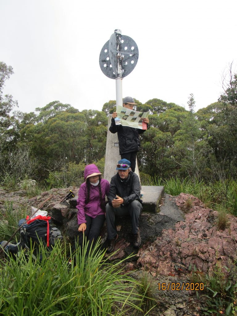
Reached the highest point of the trail…Lucas checking our map, Lee and Aurora checking our PLB points
-
-
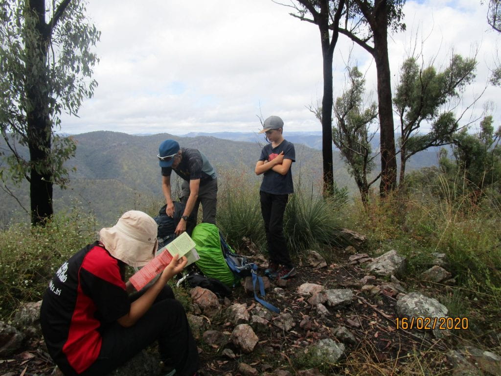
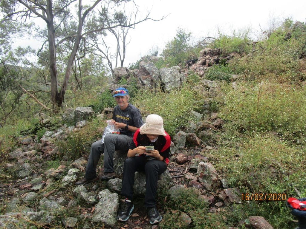
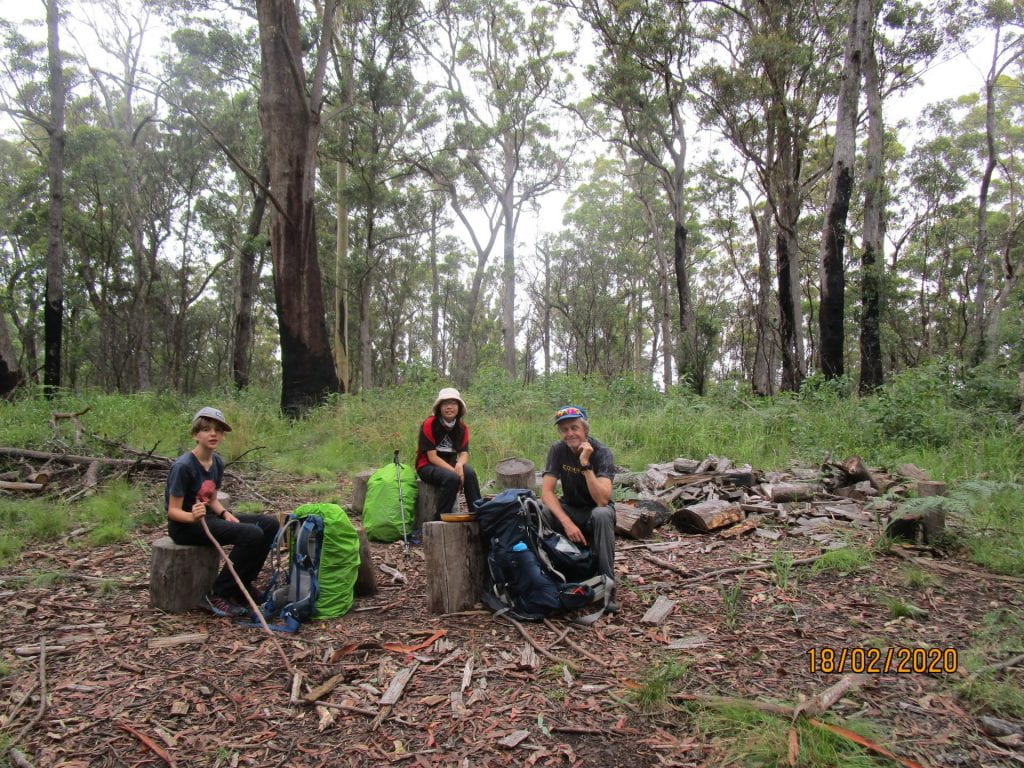
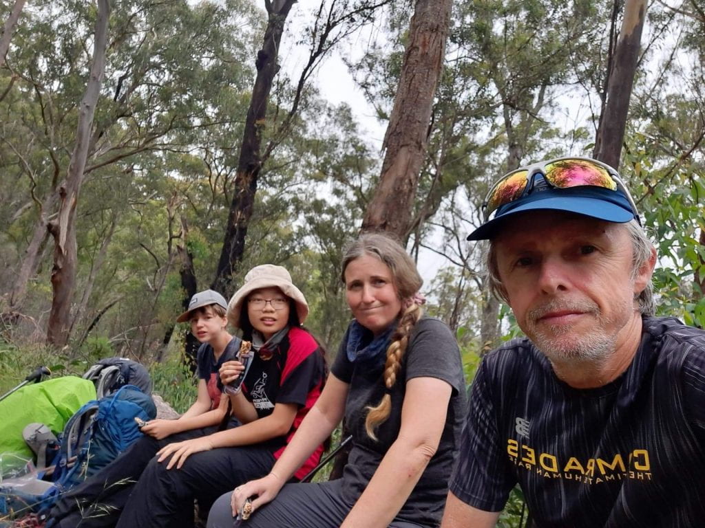
Stopping for lunch
-
-
-
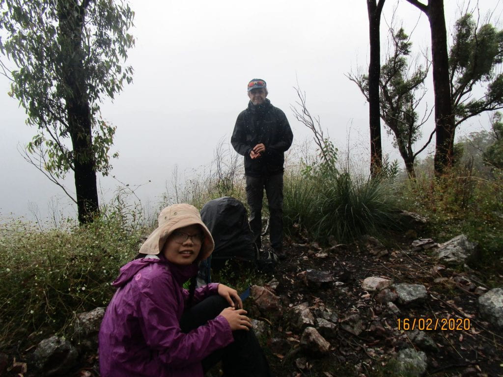
Clear for lunch one minute…covered in rain cloud the next
-

-
Having another rest
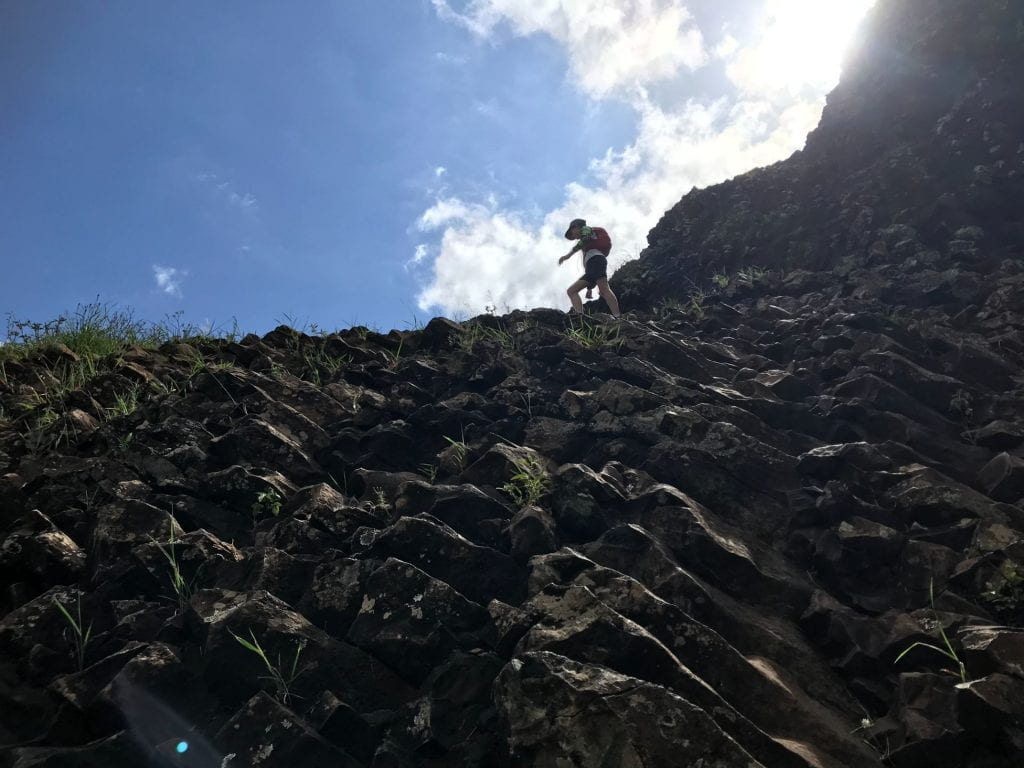
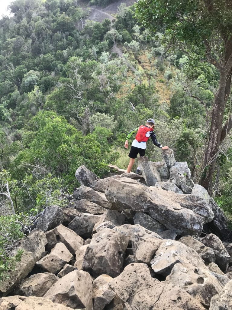
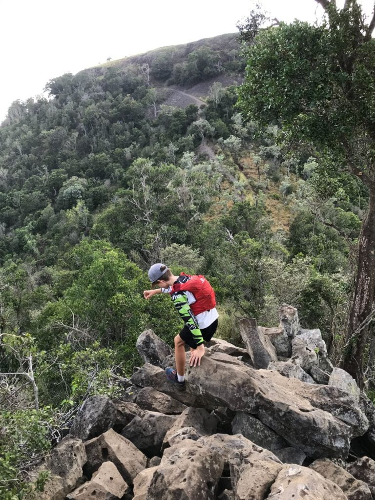
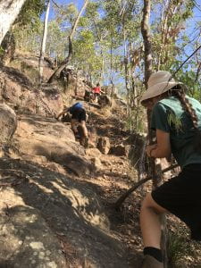
We then had to tackle a steep decent into Green Gully. It was STEEP, and trackless, at points seeming nearly vertical, slipping down rocks with our packs making it difficult to balance.
-
-
Starting our descent to the Gully
-
-
Lots of obstacles
-

-
Down we go…
-
-
-
I don’t think this really captures the steepness 🙂
-
-
Hitting the gully…signs we were near our hut 🙂
-
-
-
-
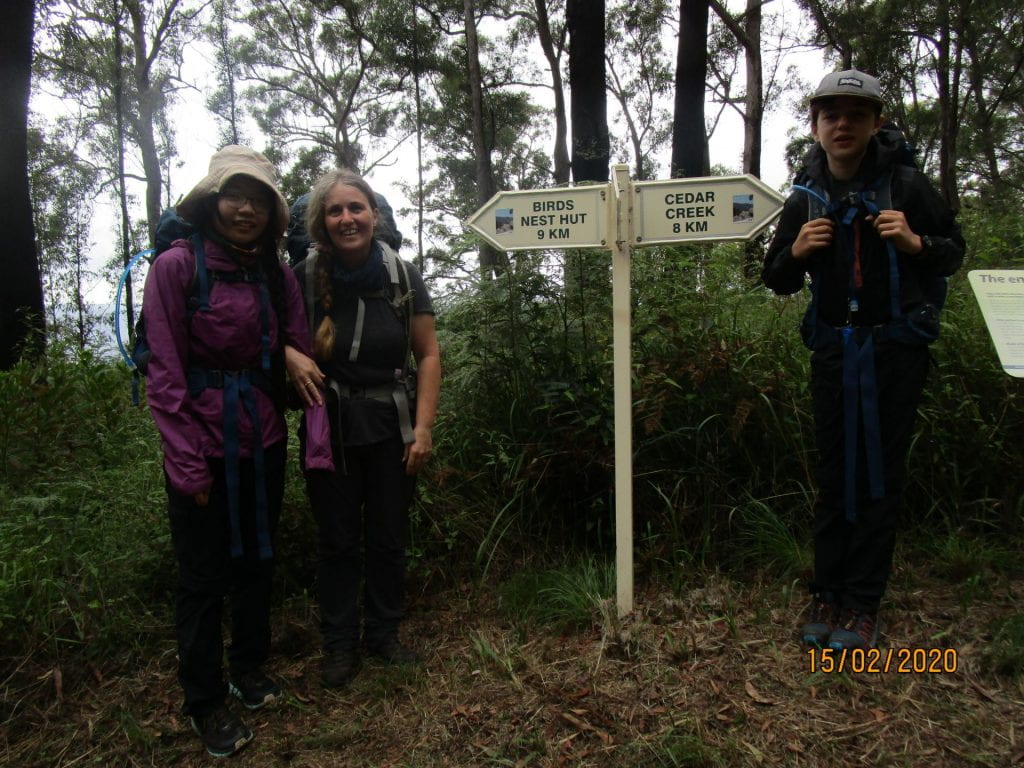
So happy to see this sign 🙂
-

-
One last hill to our cabin 🙂
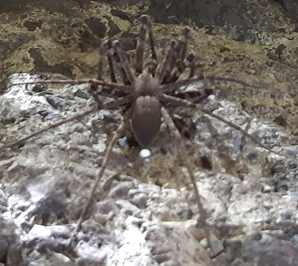
But our hut awaited us…a red back infested one 🙂 We had to remove one which had chosen the sink tap to nest on…attacking us every time we tried to turn the tap on.
-

-
Arrived at Green Gully Hut 🙂
-
-
Dinner…Pasta, tuna and dried mushrooms
-
-
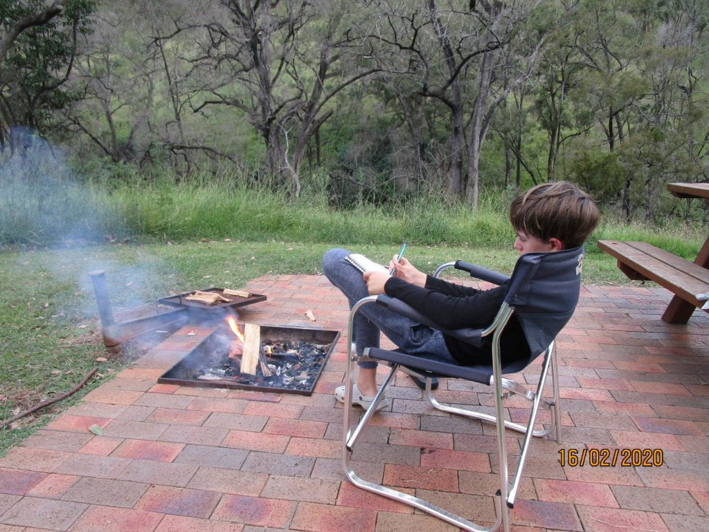
Lucas by the fire writing about our day in the hikers log book 🙂
-
-
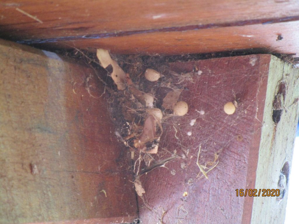
A few red backs in this hut…lots of eggs too 🙂
-

-
Dipping tired feet in the cool creek
-

-
Chopping wood…in thongs….bad parent moment 🙂
-

-
Our pit toilet
-
-
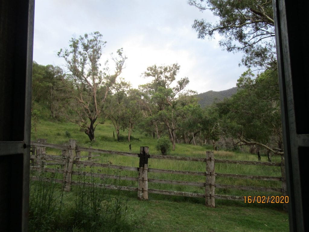
Our view from our pit toilet 🙂
-
-
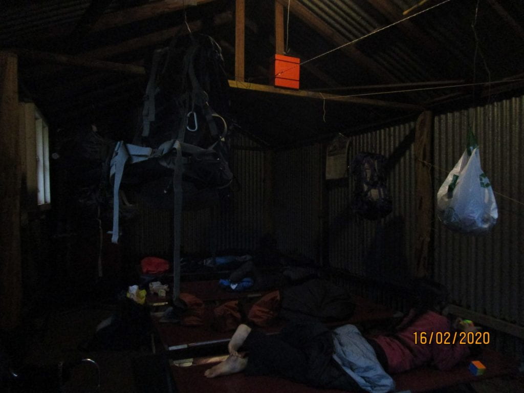
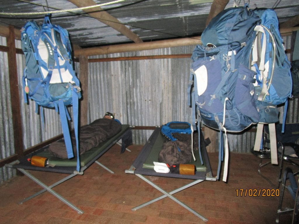
We had to hang our packs each night so the friendly mice didn’t eat through them for our food…
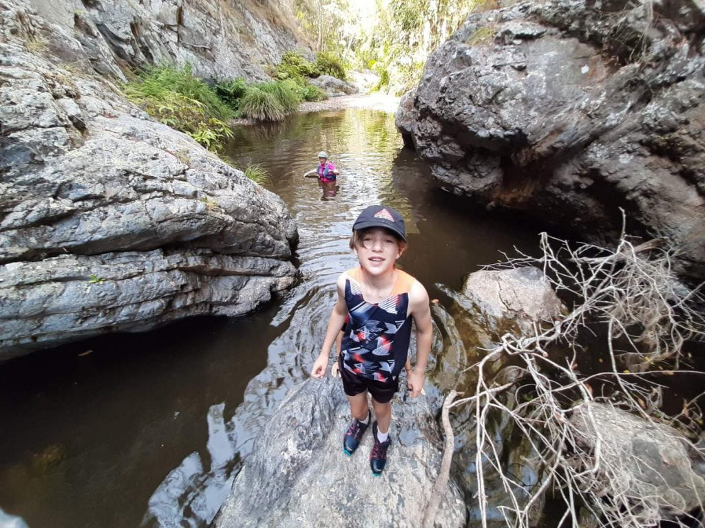
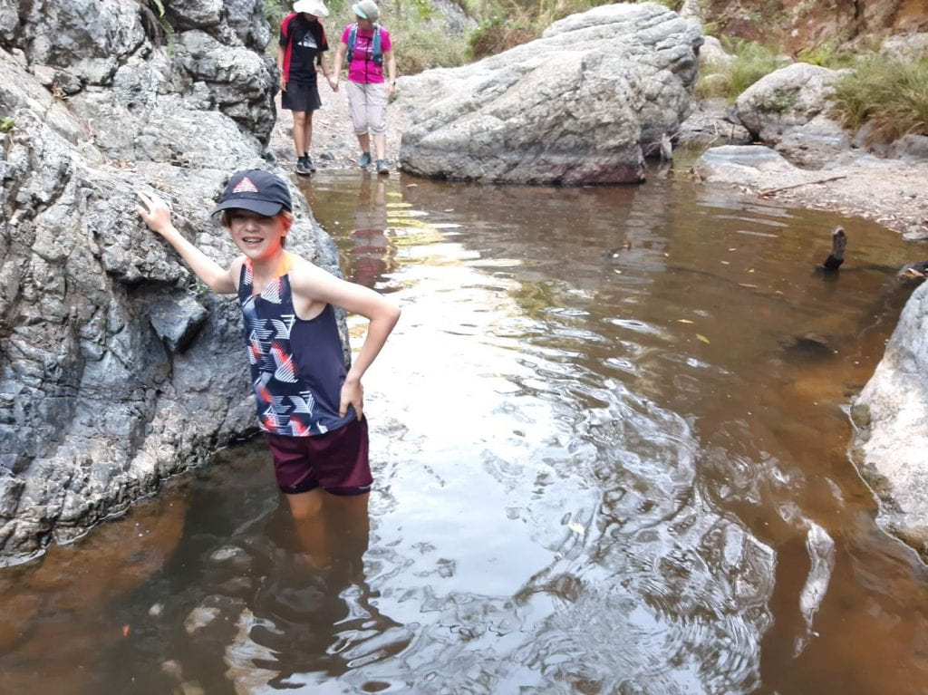
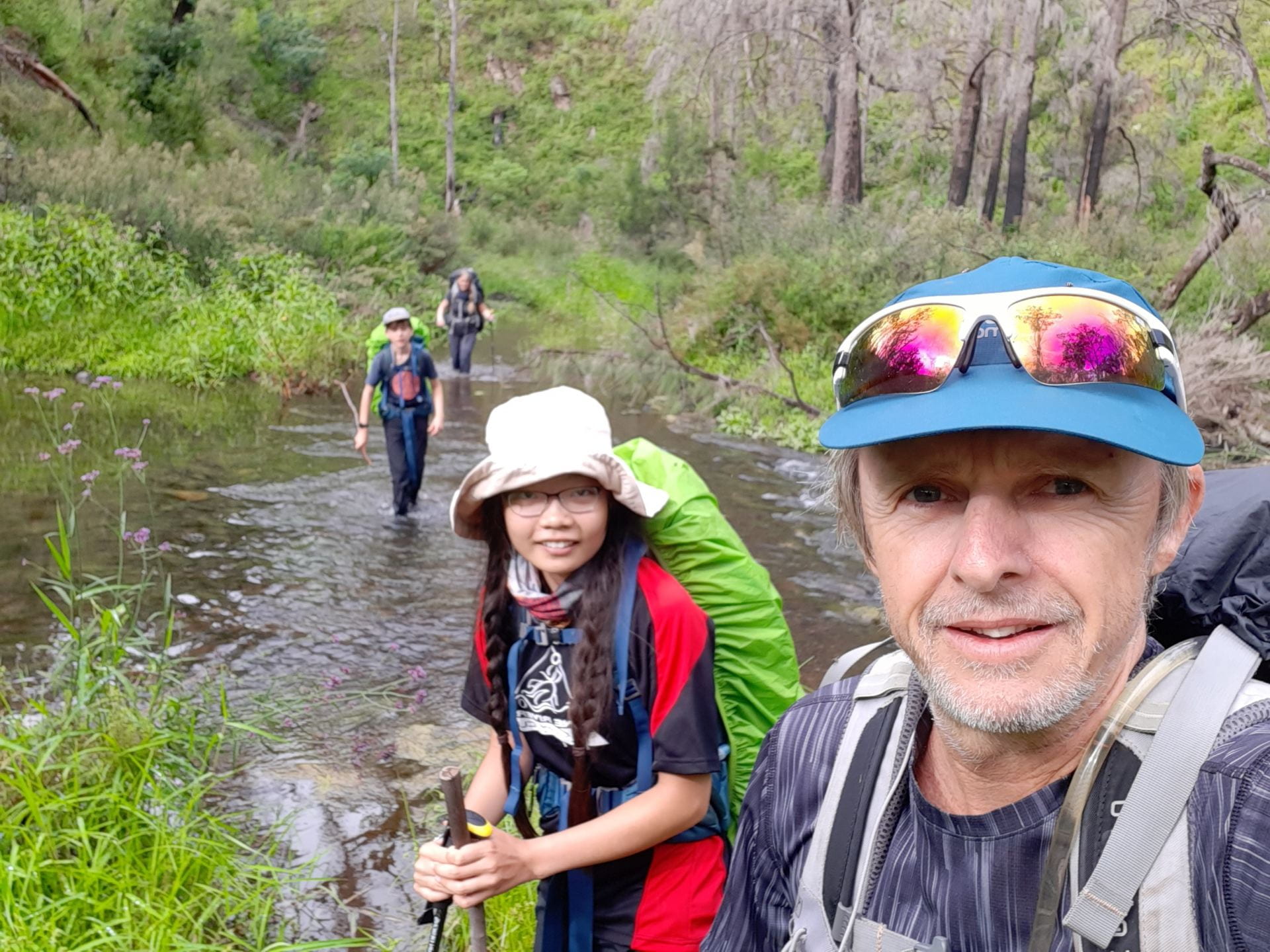
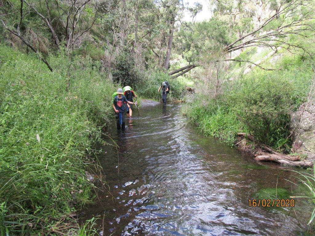
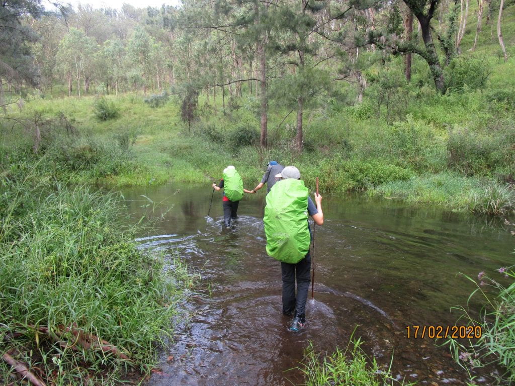
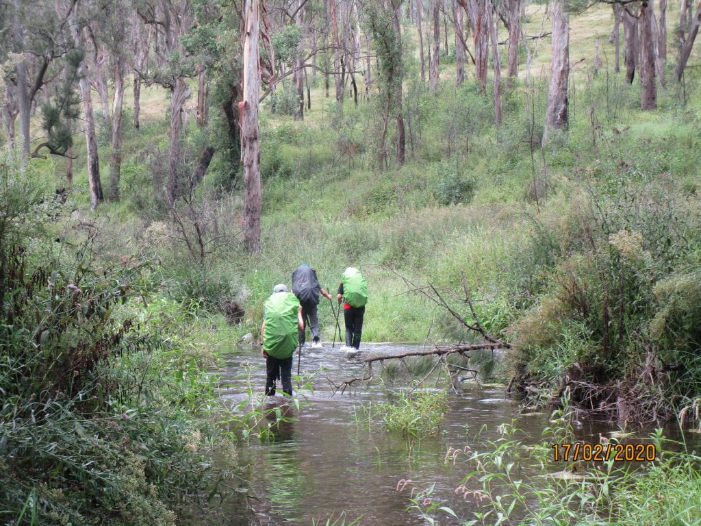
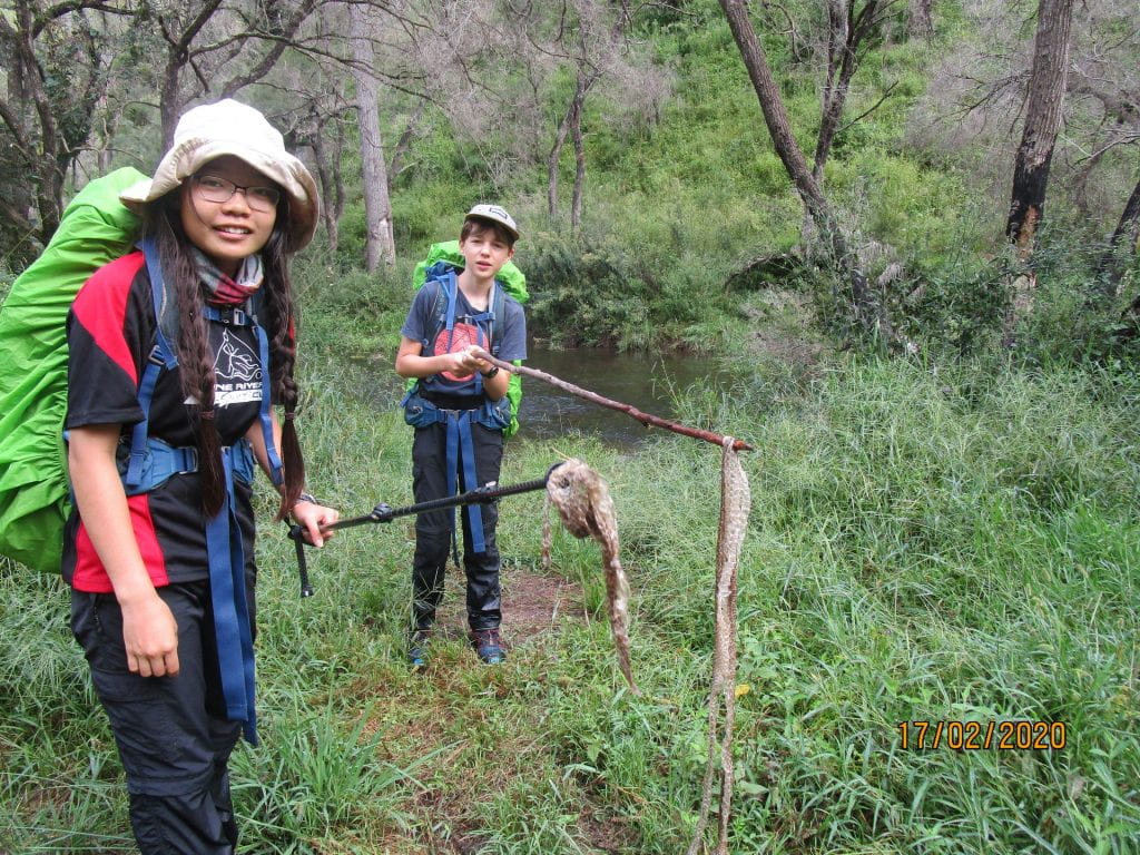
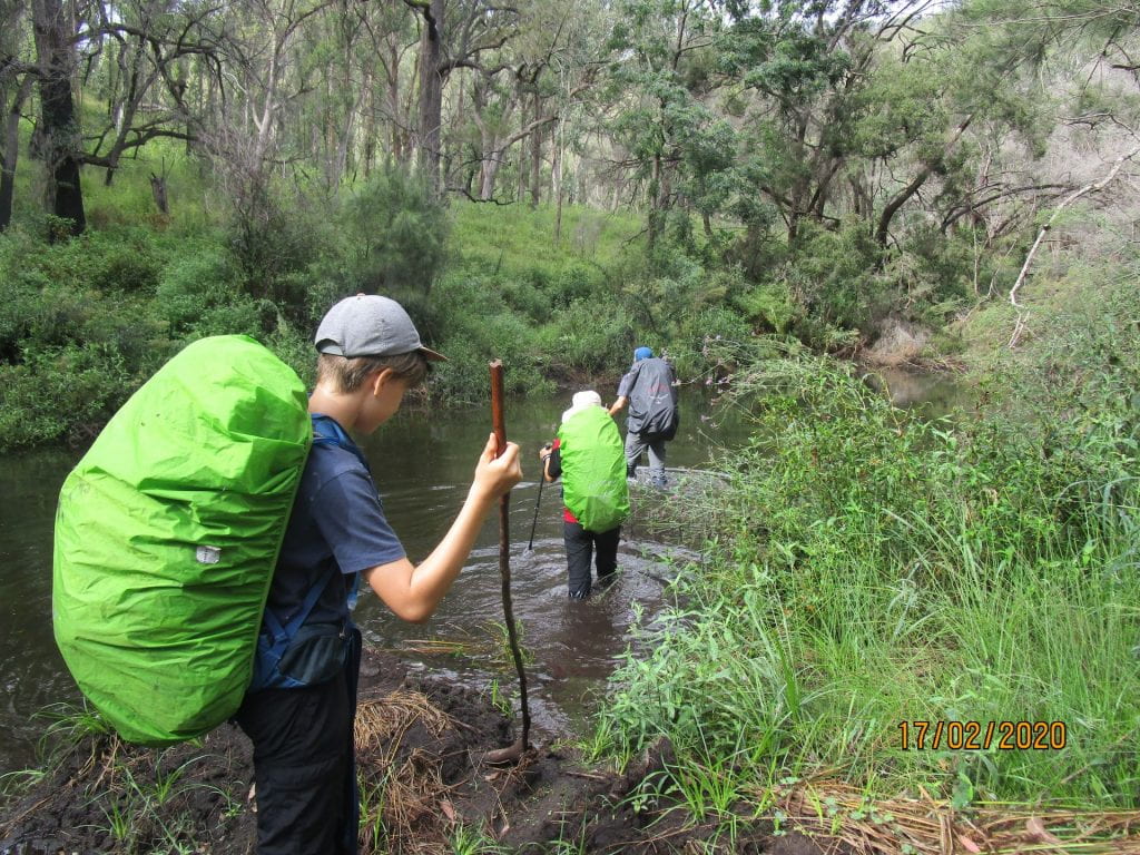
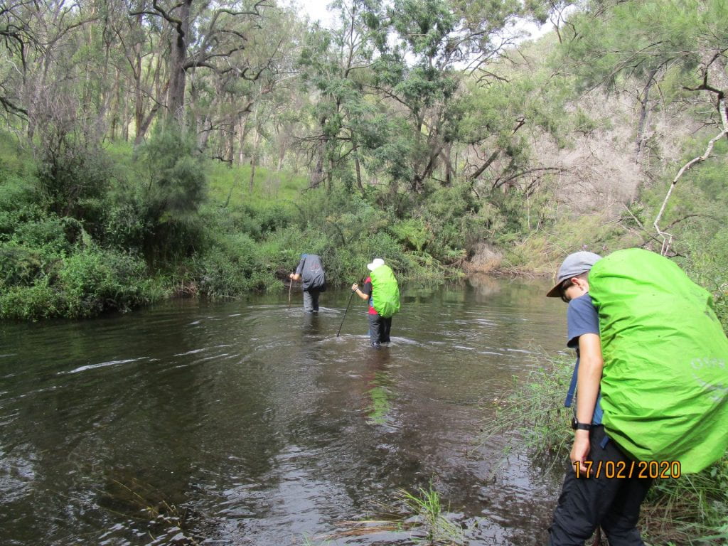
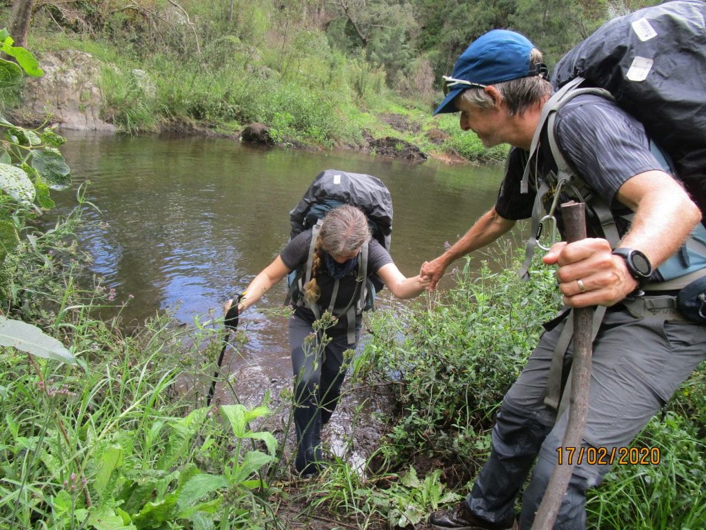
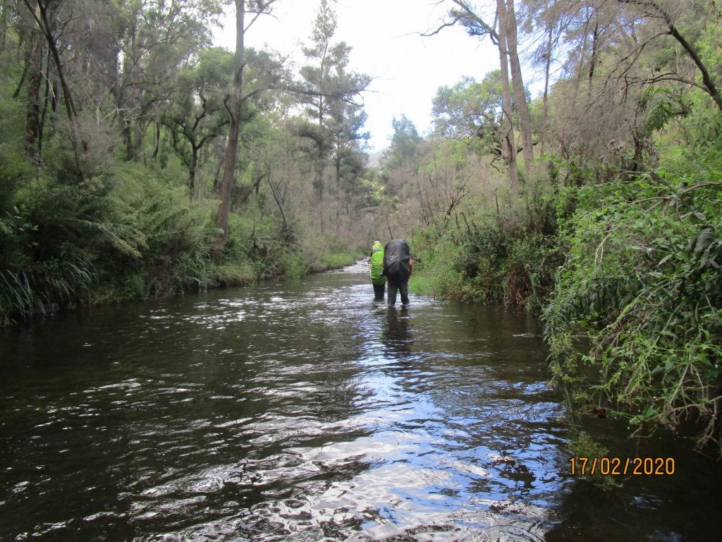
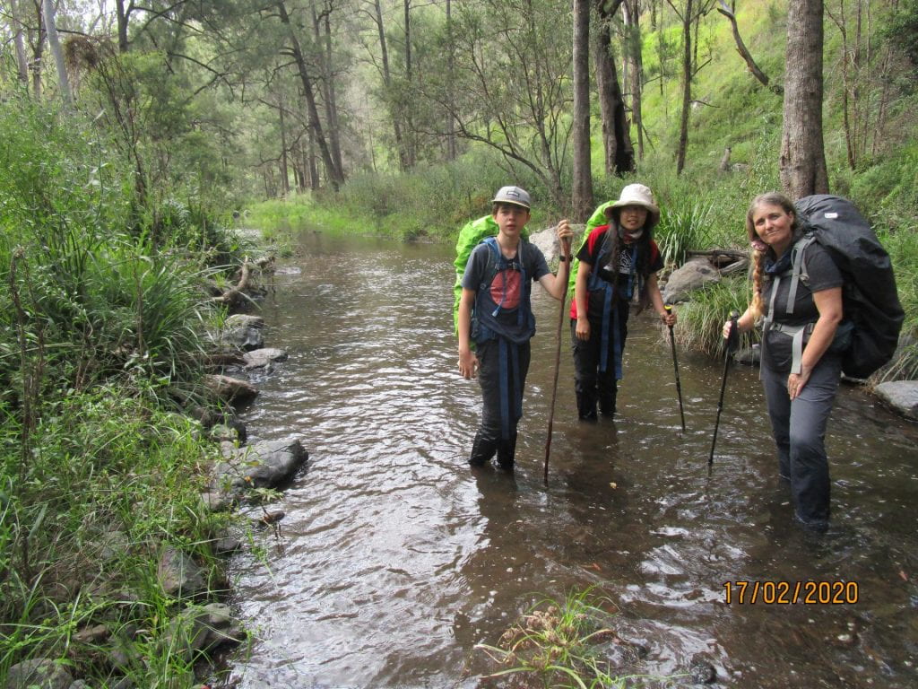
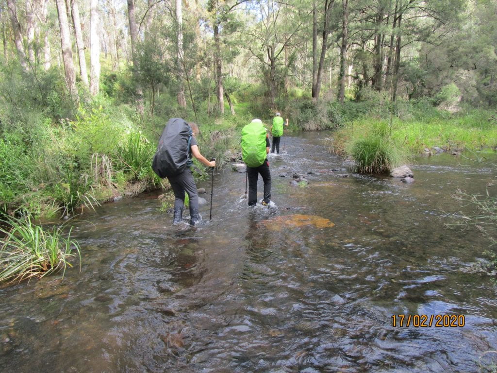
Day three was only a 13.5km day along the creek. The Gully was lush green, and had a Jurassic Park kinda feel to it, we were looking forward to the flat scenic walk and an easier day compared to the previous one’s terrain. However, this day turned out to be our hardest and longest! We had read and heard how there was no really defined track in this section, but how you couldn’t get lost as it was really just following the creek. Wading through the creek at points was inevitable, and we had heard parts would be waist high, so we were prepared for that. However the rapid parts were so difficult to walk through with packs on, the rocks were slippery underneath. When we could find sections that we could walk on the banks, they were head high with various kinds of nettles, and we had to literally bush bash through overgrown grass and weed. It was hard going. We had long pants on in preparation for the overgrown track, but we were not prepared for bush bashing through such overgrown head high nettles, we really should have had gaiters on…not just for the nettles but we bashing through snake territory… but fortunately we did not encounter a live snake, just a snake skin…which we think may have been from a King Brown. We were in the territory of so many venomous snakes, so the lack of gaiters was a bad parenting moment (no matter how much money we have spent on gear to keep the kids safe through the bush there’s always something to beat oneself up about as a parent). At least we had invested in a PLB (Personal Locater Beacon) that had satellite navigation and SOS function. I realise that I don’t have any piks of the wild bush bash parts…too busy bush bashing to get the camera out lol 🙂
-
-
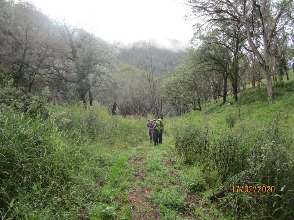
The day started off on a track…not for long though 🙂
-
-
There were about 36 creek crossings
-
-
Creek…
-
-
Snake skins….luckily the only snake encounter
-
-
More creek…
-
-
more creek…
-
-
Lots of mud we just sank in 🙂
-
-
Luckily there were parts of the creek that were only calf deep and gravelly bottom to walk steadily on
-

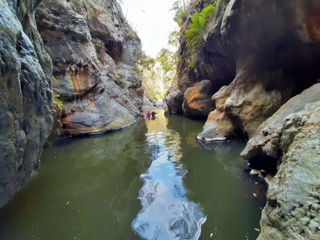
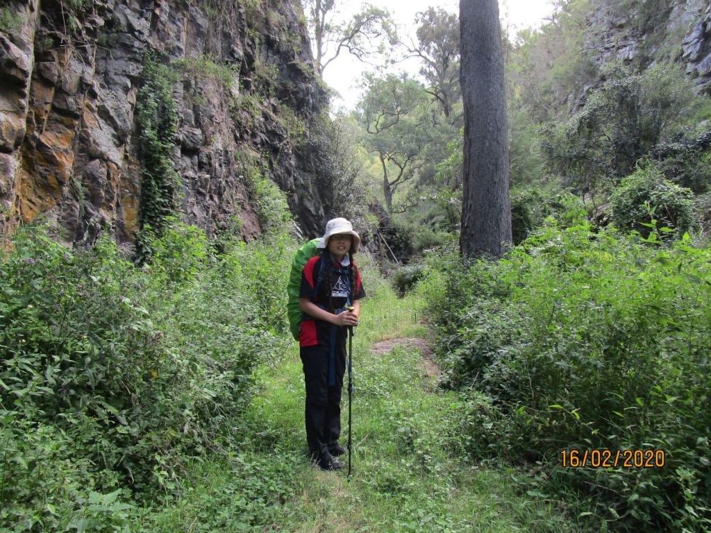
At a canyon there was no way through but for Lee to carry our packs one by one through and for us to navigate our way without getting washed away…what would we do without Dad 🙂 We have no piks of the rapids we had to navigate or the canyon crossing…we had to put camera in water proof bag for these stages…they will just have to be in our memories, and to see for yourselves you will just have to do the hike 🙂
-

-
Getting deeper…
-
-
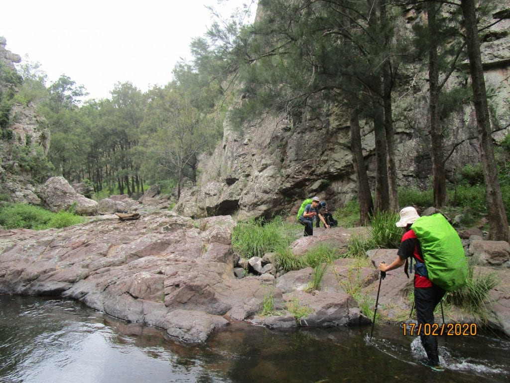
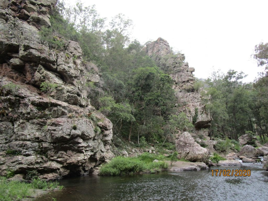
Arriving at a canyon
-
-
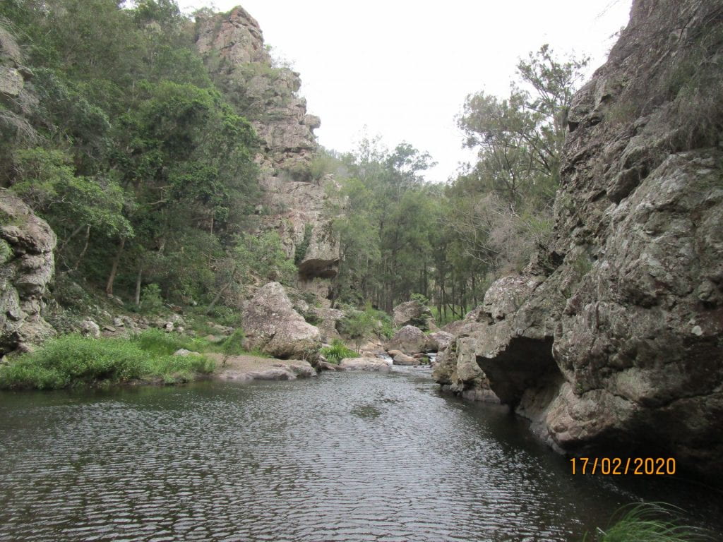
Canyon was beautiful…but how to get through it?
-
-
Still thinking how are we gonna do this?
-
-
Ready to tackle it…
-
-
Through the canyon…but still trudging through the creek
-
-
-
-
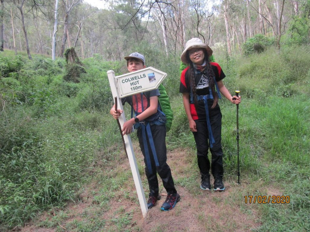
Boy were we happy to see this sign 🙂
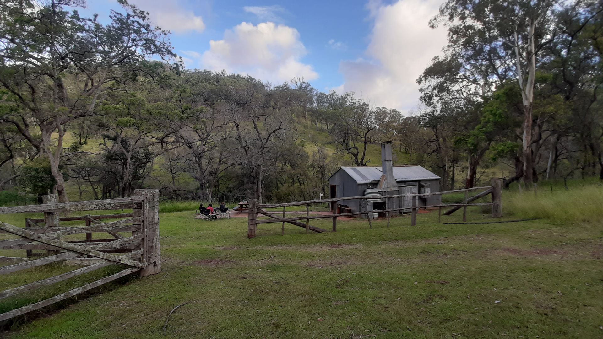
Nine hours later we arrived at our hut! Never has it taken us 9 hours to complete 13.5kms lol!!! Arriving safely at the hut, Lee was relieved we were snake bite free, and had not had to go into the dark…navigating no track and the creek would have been a challenge with packs and headlamps!
-

-
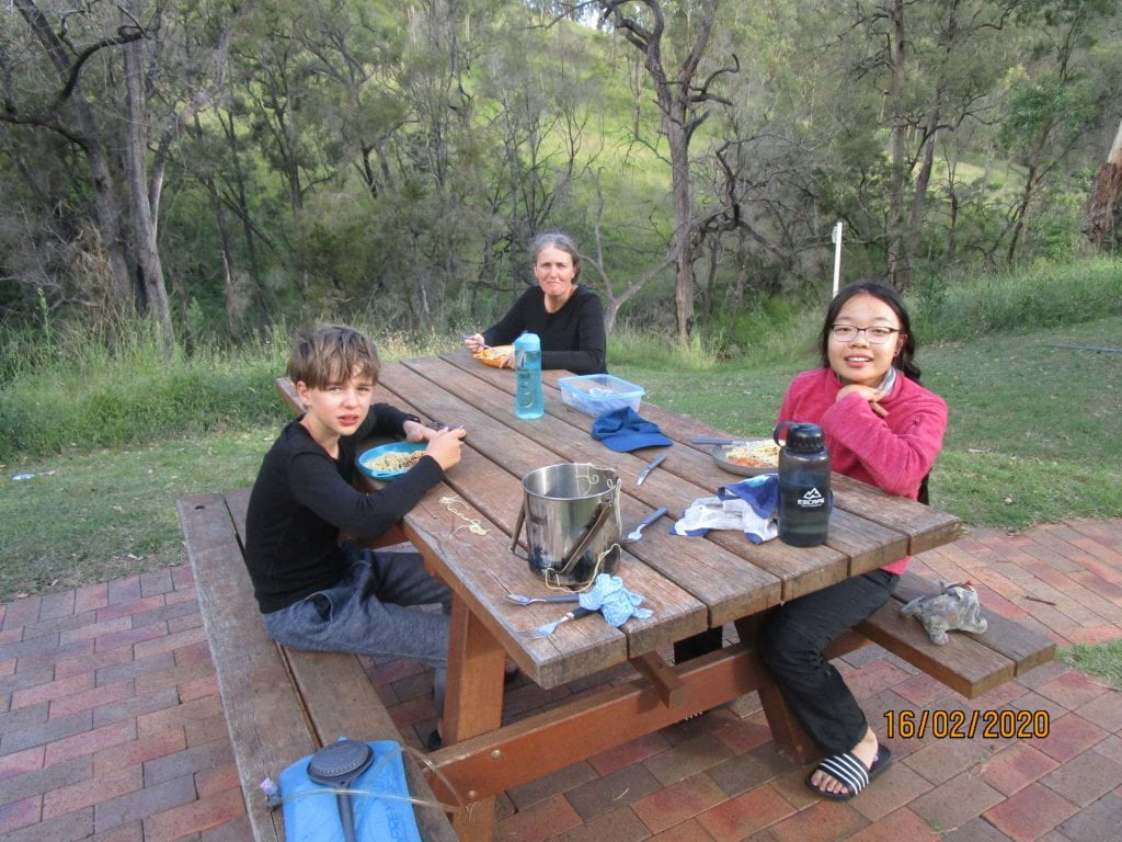
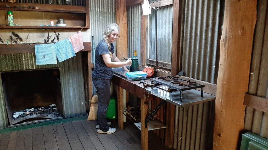
Arrived at Colwell’s Hut, this one was ‘cosy’ but had an outdoor sleeping area too
-
-
Kettle on for a cuppa 🙂
-
-
Chillaxing in the outdoor sleeping area
-
-
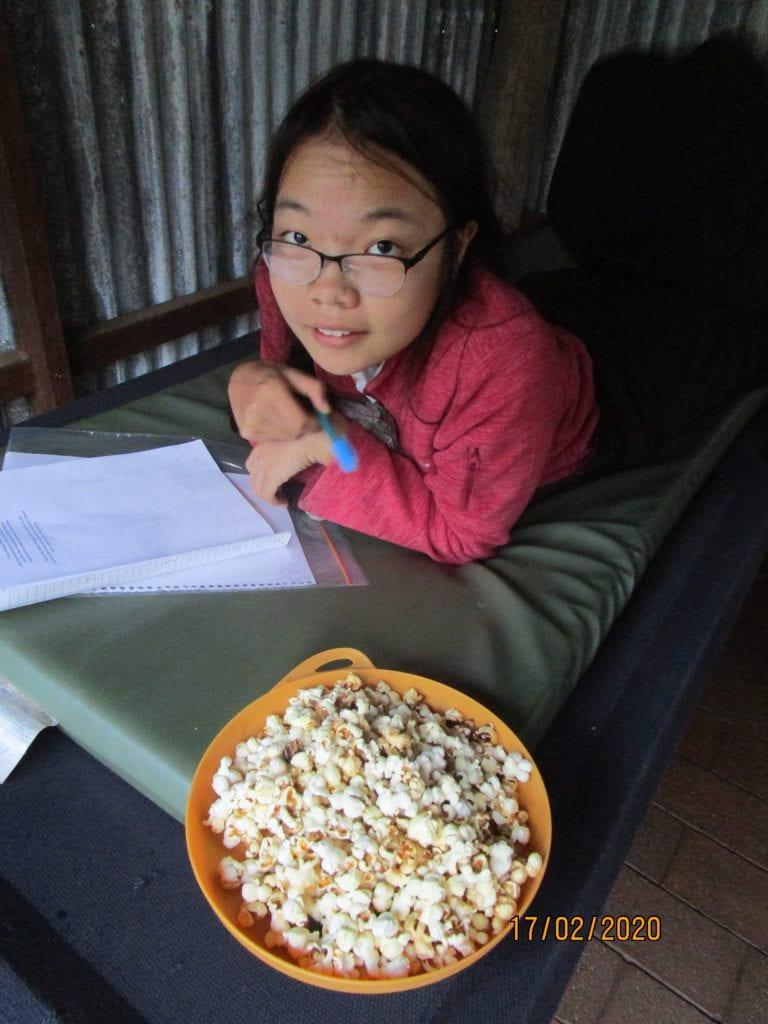
Popped up some popcorn for a treat 🙂
-
-
The boys slept outdoors, and we hung all packs outdoors so the boys could be on ‘mouse’ duty all night 🙂
-
-
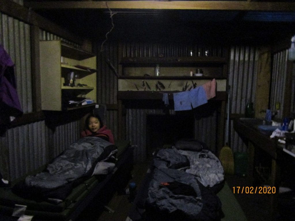
The girls decided to sleep indoors 🙂
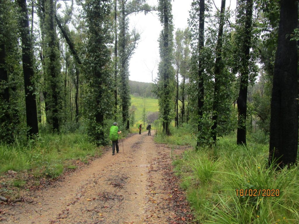
Day 4, we laughed at the fact that no adventurous bushwalker EVER likes a fire trail…but we were all pretty happy to be on a fire trail for our last day. 17.5kms back to our last night’s cabin.
This day started with a relentless 3kms of STEEP climbing…
-
-
Lunch stop
-
-
Another little rest 🙂
-
-
We could finally see the green meadows where our cabin was waiting for us 🙂
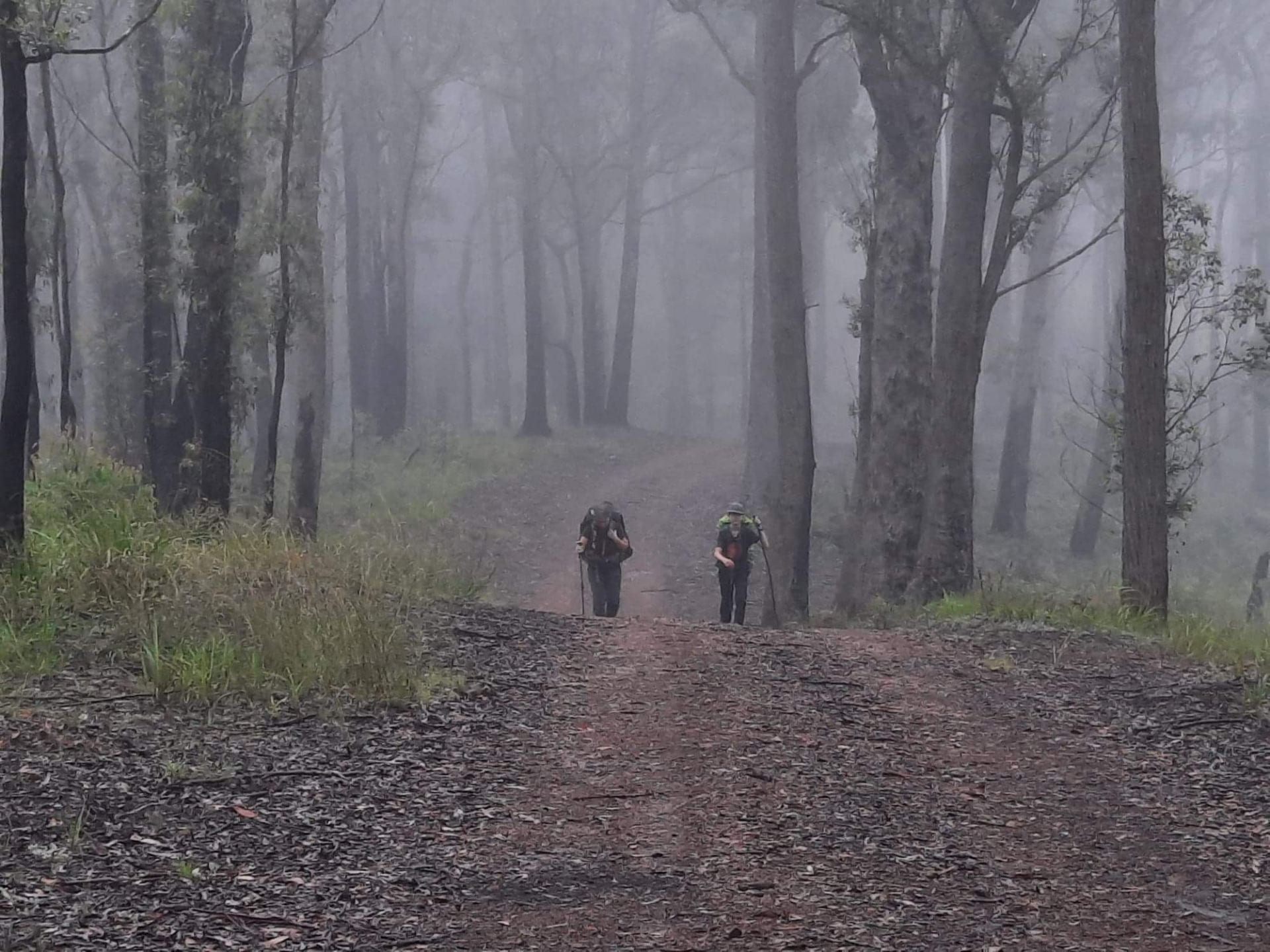
Our last little bit in the rain 🙂
Despite having previously endured 3 full days of rugged terrain, and despite the fact that the first 3kms of this day was a gruelling 600m climb…but with our packs at their lightest, a actual trail to follow, and the lure of steak and potatoes in the fridge waiting to be roasted, we finished at a strong and happy pace. And finally…the relative luxury of our final cabin 🙂
-
-
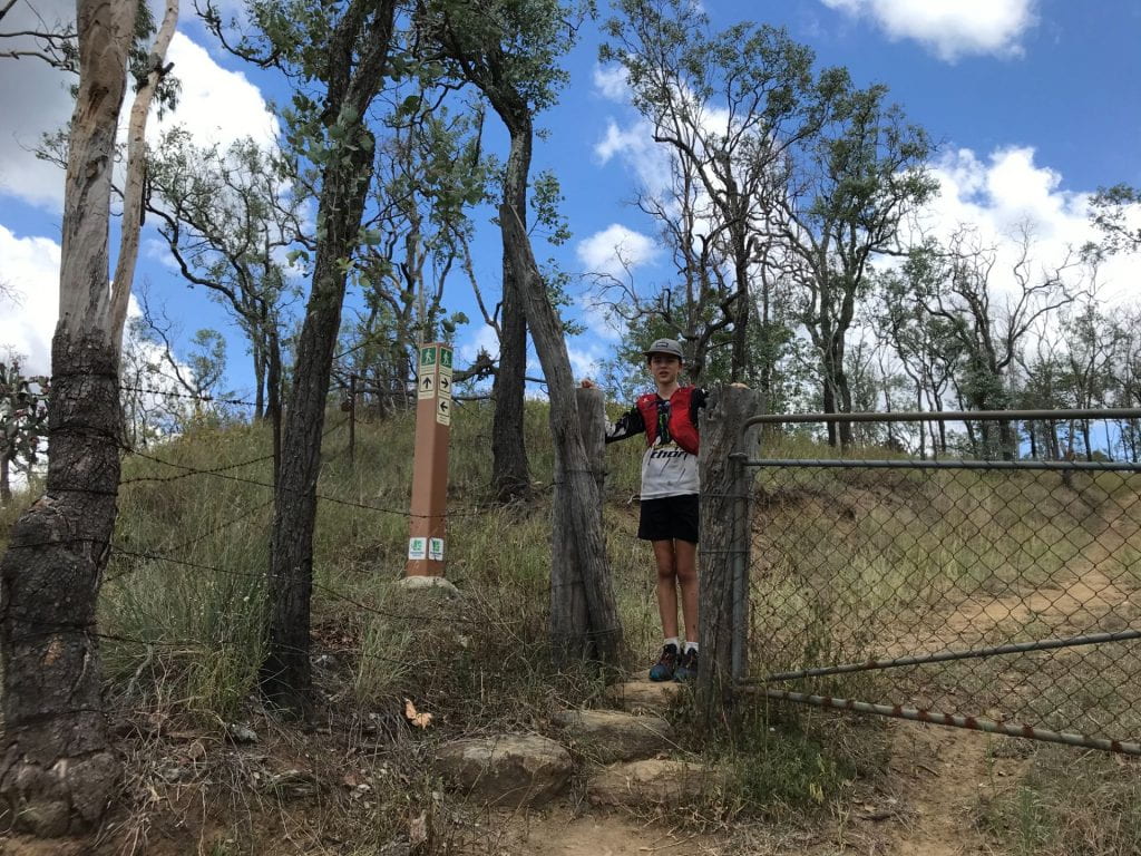
Finally at the gate leading to our last night’s cabin 🙂
-
-
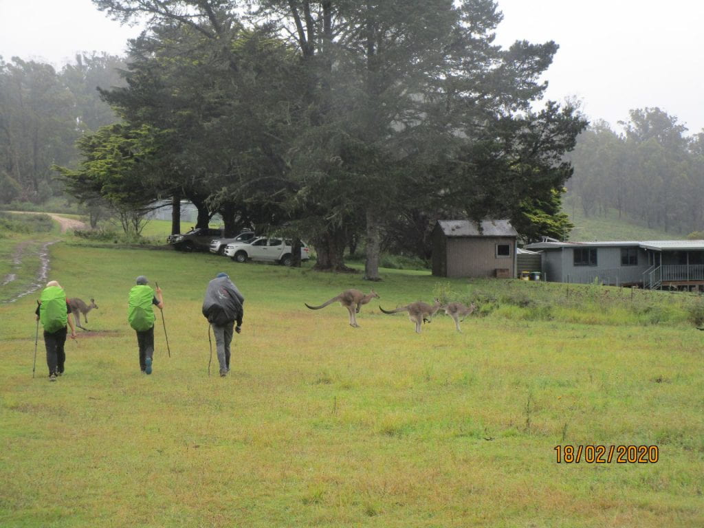
Our final walk from the gate to the cabin 🙂 There were pretty big kangaroos all over the place
-
-
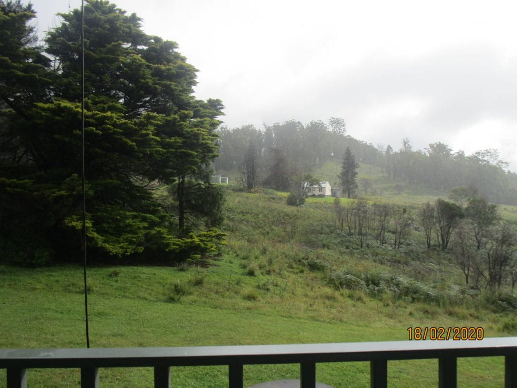
View of the first night’s cabin from the deck of the last night cabin
-
-
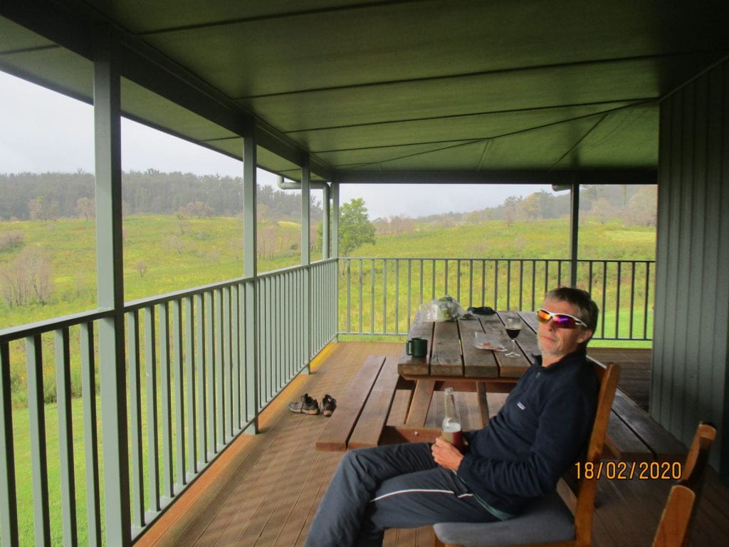
After a hot drink and a shower…finally a beer on the deck 🙂
-
-
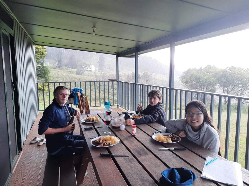
Steak and roast potatoes in a red wine sauce 🙂
-
-
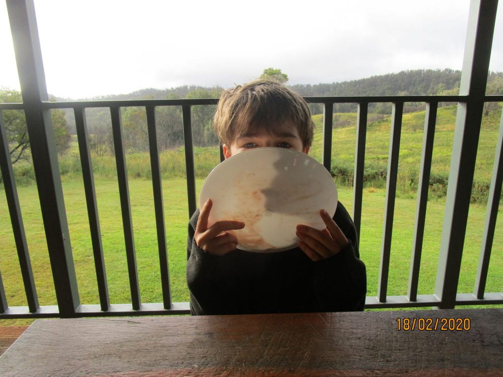
Licking the plate clean 🙂
The Green Gully Trail was certainly one of our toughest through hikes we have taken on, but we learned how to use our PLB, got a little more ‘trail fit’, and a little more experience for taking on even more challenging adventures 🙂