Getting fit on Table Top Mountain
Author of this blog post: Lucas
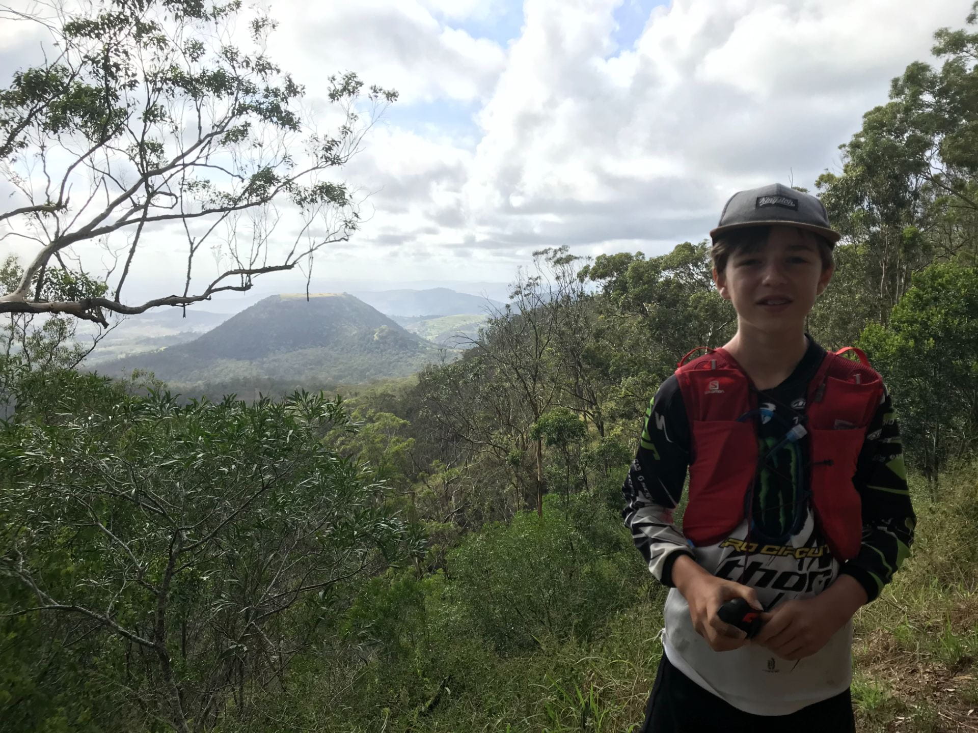
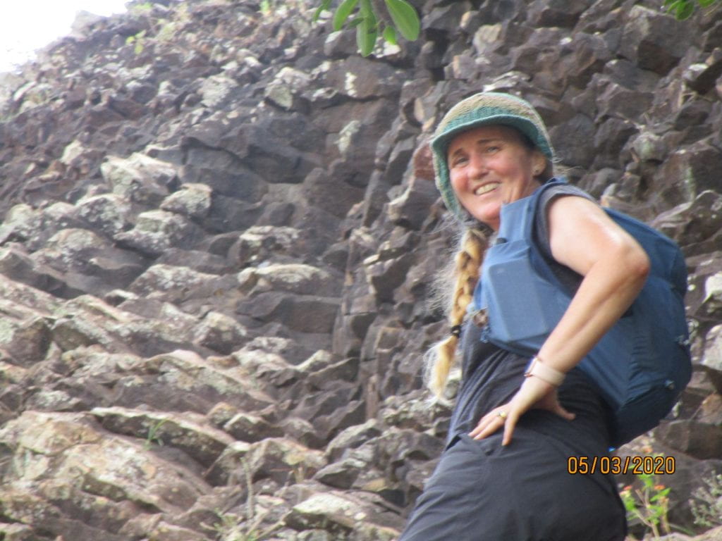
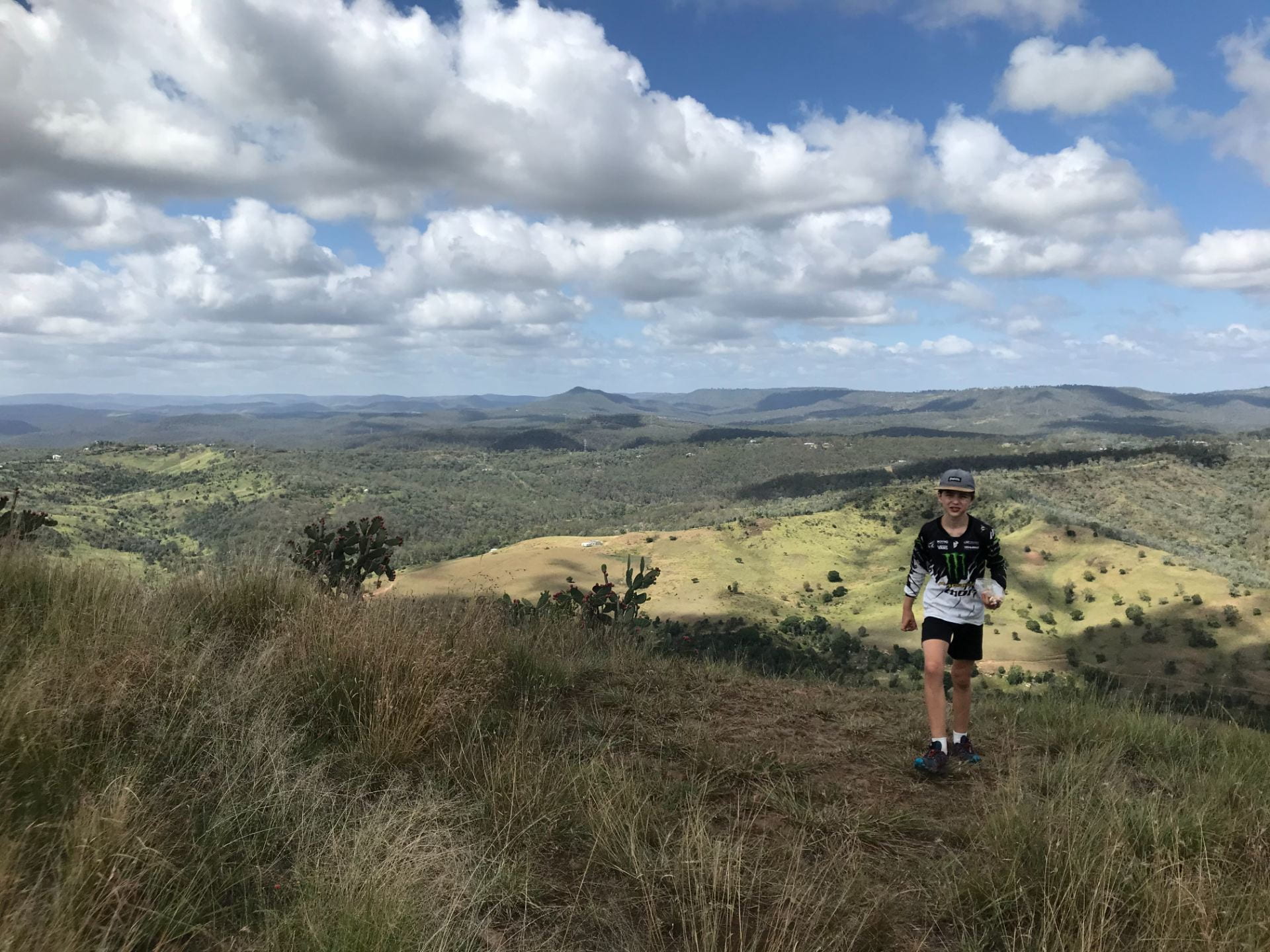
Me standing on the Paledote trail on the way to Table Top
My Mum and I tackled Table Top Mountain and it was a challenging but spectacular hike! Here is some information if you would like tackle it yourself!
Description
The Table Top Mountain walk is a great walk for adventurous families. You can either start at the base of the mountain and walk up to the top and ends up being around 2km or you can choose to start at Picnic Point and it will be around 11km.
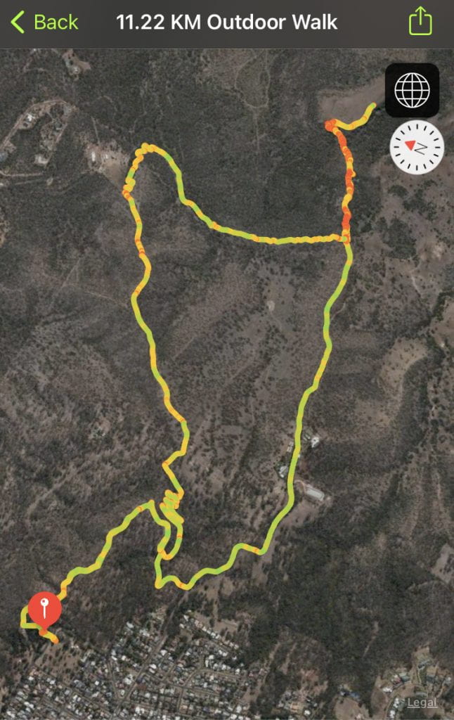
This is the route that my mum’s watch mapped.
Directions
Picnic Point is a great place to start from because there is a spectacular view of Mt Table Top and the surrounding Mountains. There are also lots of car parks and many other walks start from there too. There is also a restaurant so after your walk you can go and get a cold drink and a meal if you want too. When you start your walk, head to where the restaurant is and find the sign that says Pardalote trail. Then follow that dirt trail till you get to South Rd. Then take a left turn and it will go down hill for the next 2km till you reach the base of Table Top Mountain. Then its a HARD rock scrambling big gravel and tough rock climbing till you reach the top. You can decide to go back the South Rd way or you can go back through a wide trail that goes through private farm land. It is a bit longer but it was cooler and it also hooks up with the Bridle trail and Fan trail walk that takes you back up the hill to Picnic Point.
-
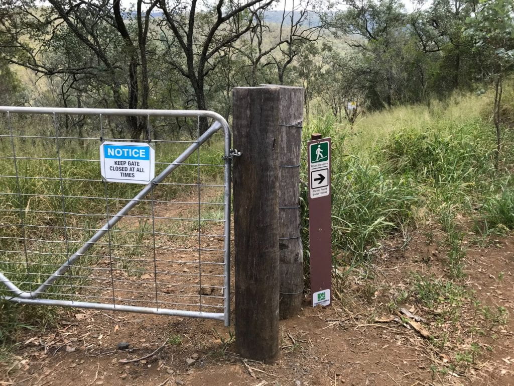
- Sign at the base of mountain to take the alternative route.
-
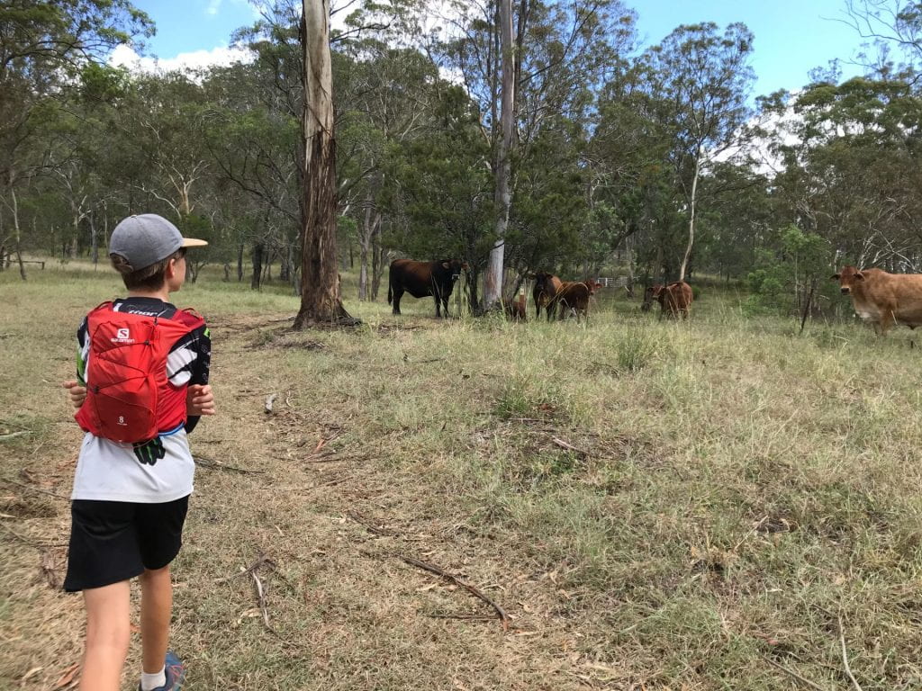
- Passing the cows on the farm land.
-
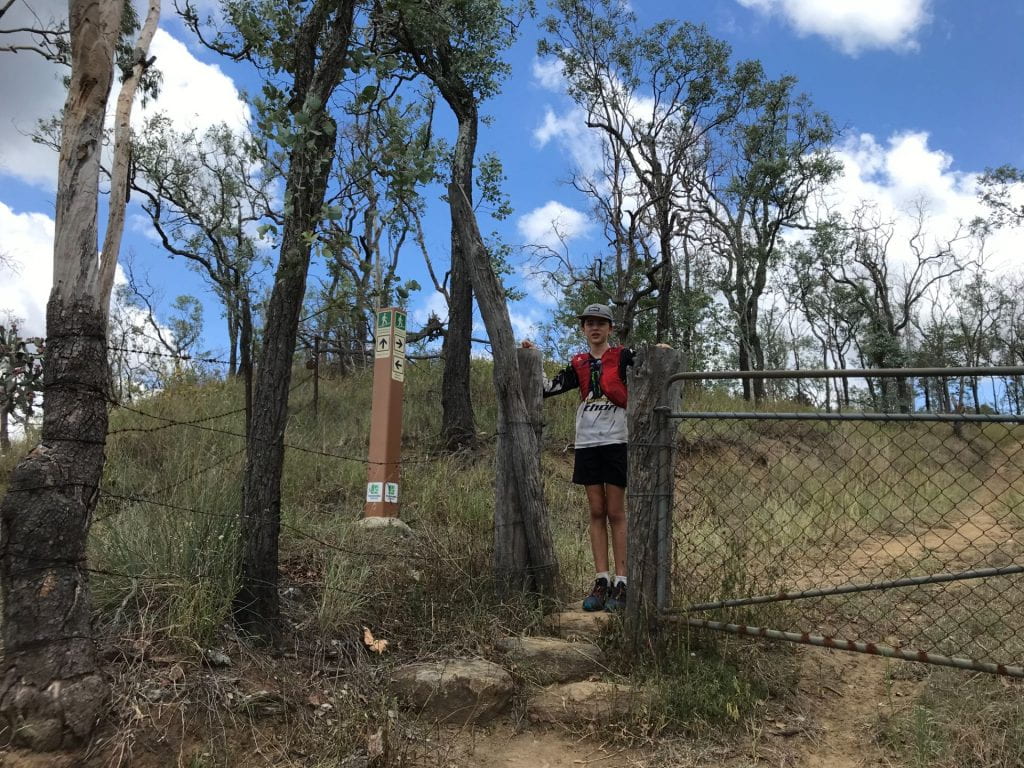
- The alternative route is well marked with these signs.
Overall perspective
This was a great hike. I did it with my Mum while my sister and my Dad were volunteer working at a multi-cultural sport festival in Toowoomba. When we were dropped off at Picnic Point we first didn’t know where to go so we had to ask some people for directions, but still they didn’t know where it was, so we had to figure it out ourselves. The killer bit is when you go down South Rd, it really kills your quads. The actual mountain bit was slow going and requires a lot of rock scrambling. Before the summit is really hard because there is this really steep rock face you have to climb up and there is no avoiding it.
-
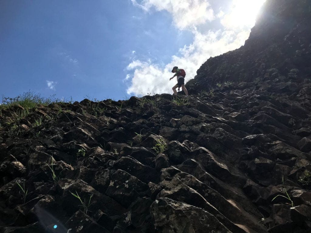
- The really steep rock face.
-
- Rock scrambling.
-
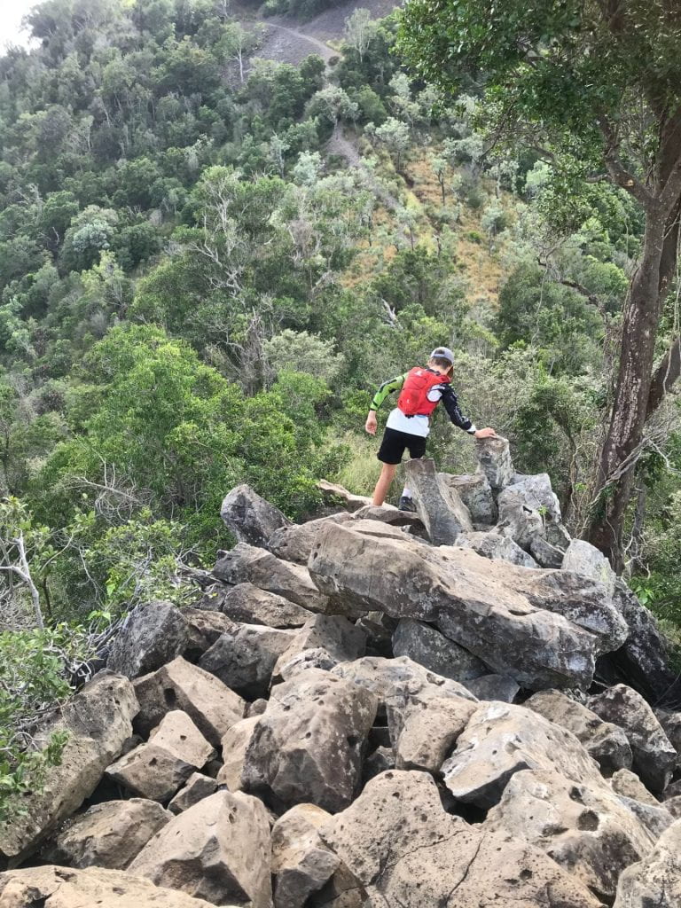
- More rock scrambling…
But the view is definitely worth it on a clear day. You can actually walk around the top of it but we didn’t because we didn’t know how long it was, and we wanted to get back for lunch. It is a bit easier on the way down too. When you get back down the base of the mountain I would go the new way where it goes through private property, it is a bit longer but it would be hot going up South Rd on black tarmac in the middle of summer. Although it was a bit scary going past them big cows.
-
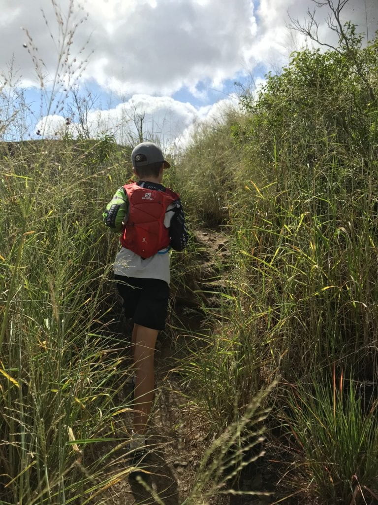
- Going through some tall grass.
-
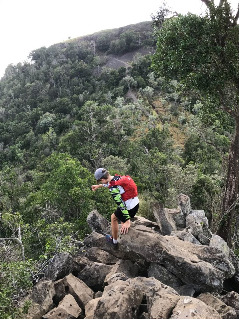
- Even more rock scrambling.
-
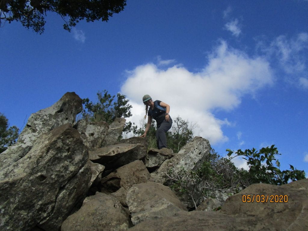
- Mum just before our vertical climb before the top.
If you go from Picnic point then you will have to go down a hill to get to the base of the mountain, then climb up the mountain, then back down again to then have to climb back up to Picnic Point again (Hahahaha) so it is a HARD strenuous walk. But we didn’t stop at the restaurant we met my sister and my Dad at the Wendland Deli for a big Guinness pie!
View from Table Top Mountain.
The Table Top Mountain was a great walk and would defiantly do it again.