April 11, 2021

K’gari Great Walk

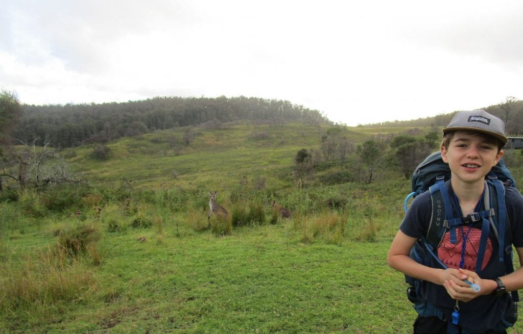
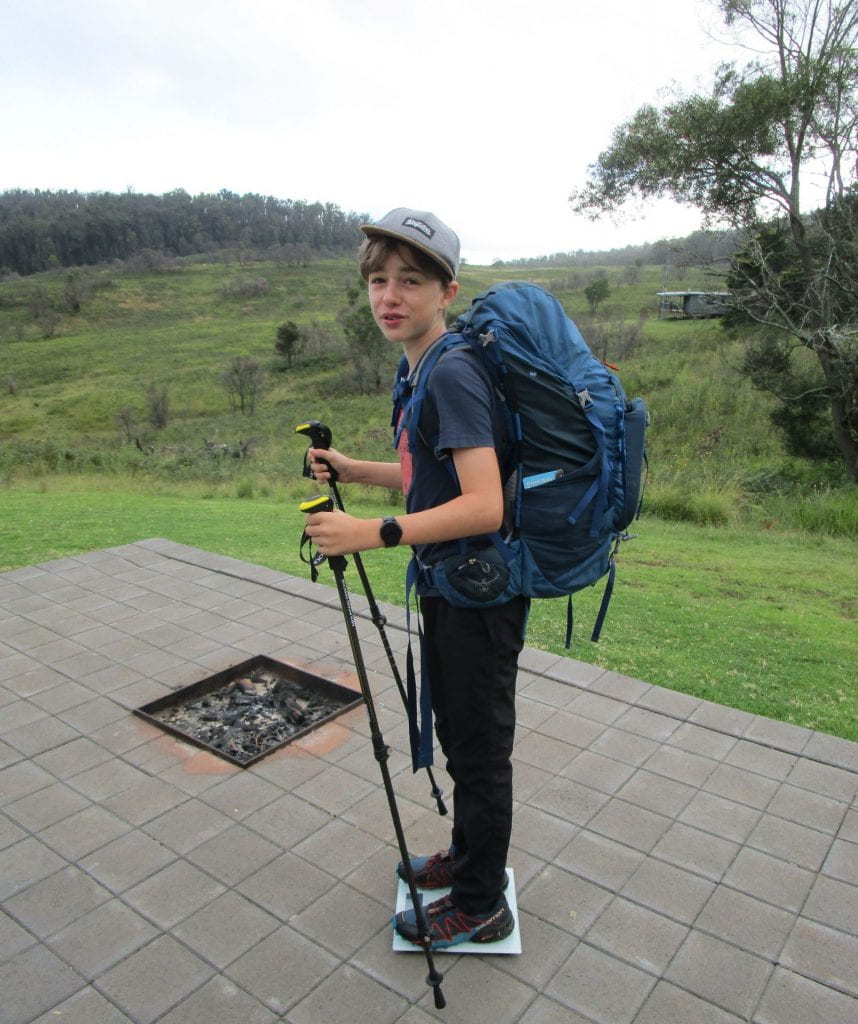
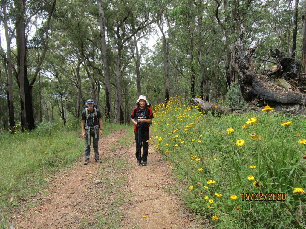
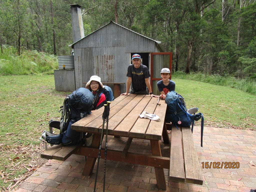
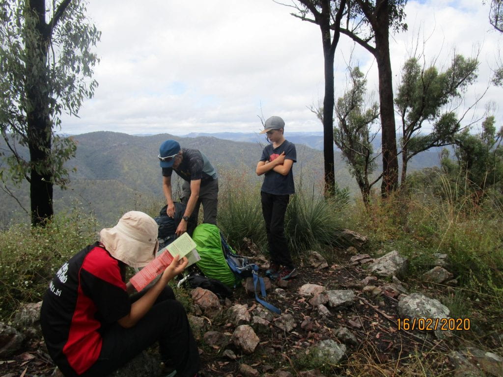
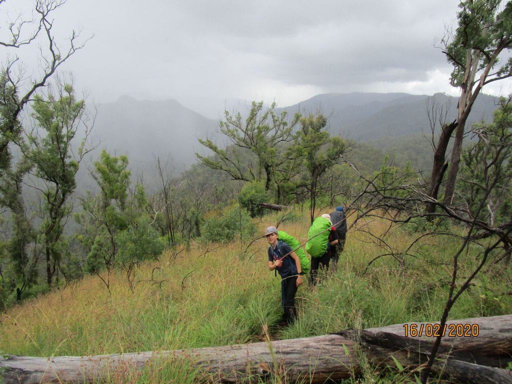
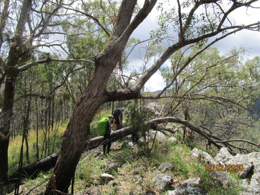
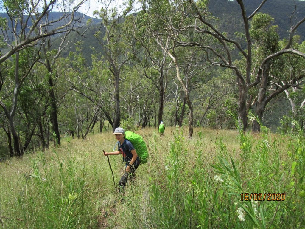
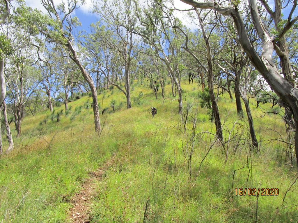
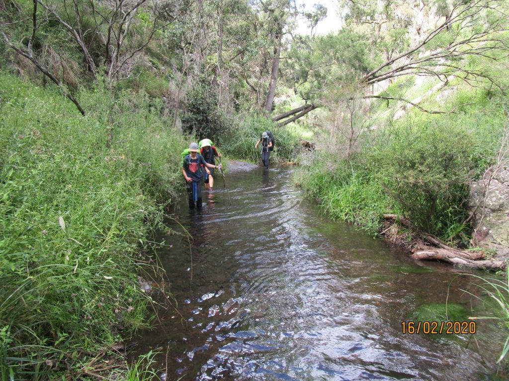
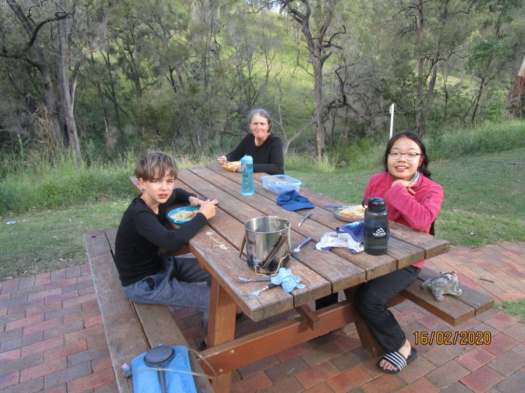
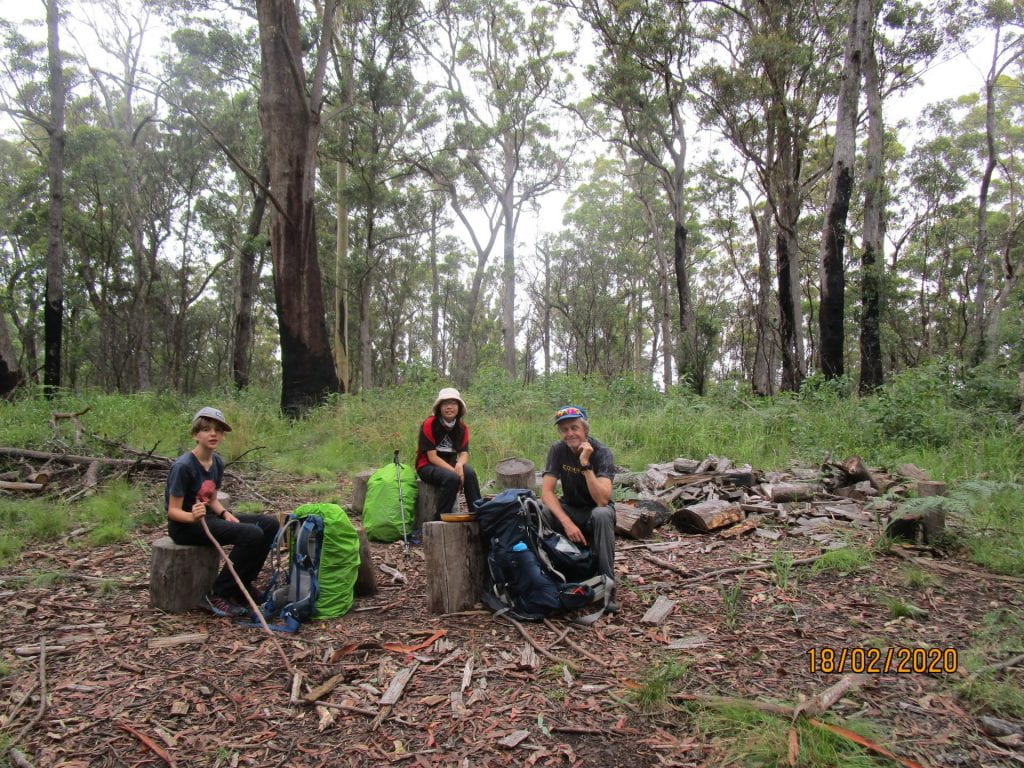
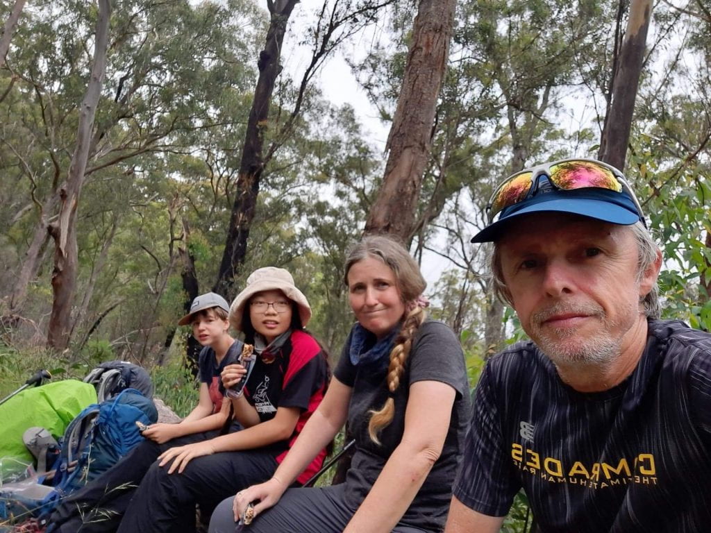
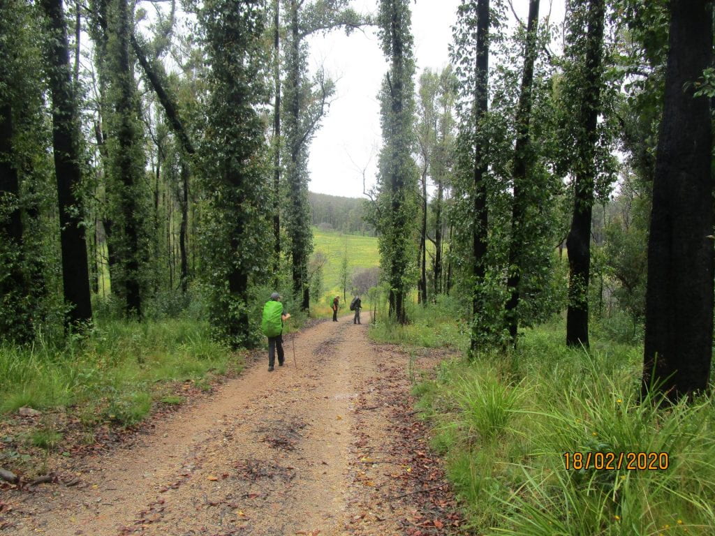
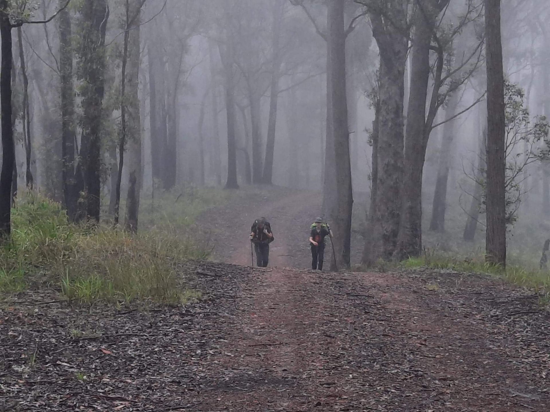
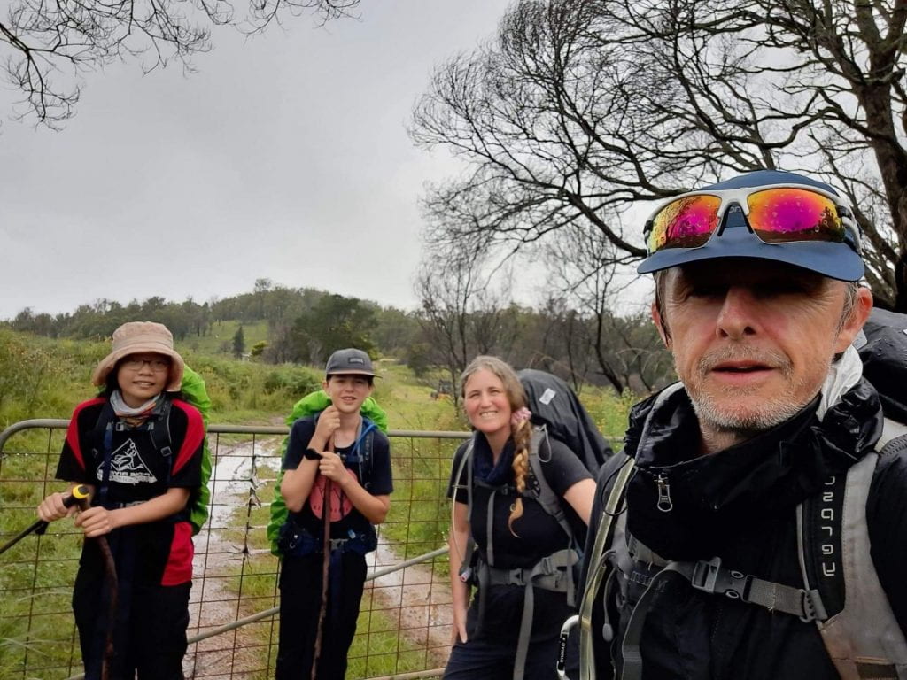
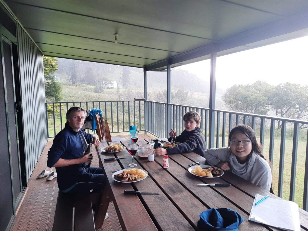
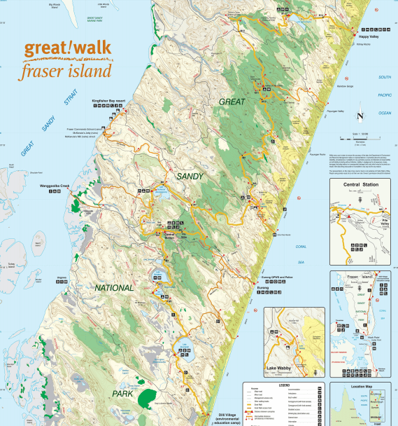
We are off to K’gari in a few weeks, to journey the 90km K’gari Great Walk 🙂 We can look at this as training for our Walkabout on Palawa Country, or an adventure in itself 🙂 However we look at it, the preparations for this mini adventure are providing opportunities to consolidate lots of the things that we are already learning about in our daily chats.


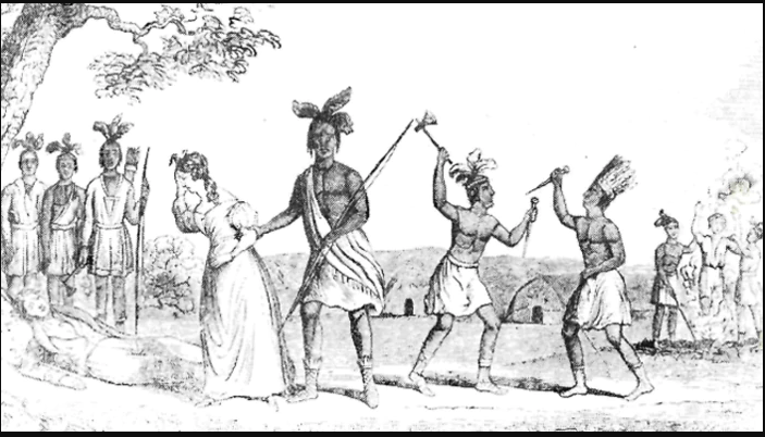
As we have been reading the Upside Down History of Australia together, we were interested to find out the history of ‘Fraser’ Island.  The kids presumed it had been named after some ‘explorer’ like many of the other places of significance ‘found’ by European settlers.  But we have learned that the ‘story’ has far more to it than some self righteous explorer, the protagonist is a shipwrecked English woman captured by ‘savages’: Eliza Fraser.

Frontispiece to the 1837 New York pamphlet, ‘Narrative of the Capture. Sufferings and Miraculous Escape of Mrs. Eliza Fraser’. (University of Queensland)

The resources put together by Reconciliation Australia and SBS have helped us to understand not only the Butchulla peoples perspective of the ‘story’, but have helped the kids to understand the concept of ‘fake news’ on a deeper level than the way the term is merely thrown about today, through the analysis and deconstruction of a history significant to a place that we are about to take a journey on.

The interactive video, together with lots of learning resources can be found on SBS learn page ‘Discover Australia’s First Fake News Story‘.  The interactive was a collaboration by Butchulla artist Fiona Foley, academic Larissa Behrendt, with immersive animation by Torres Strait Islander artist, Tori-Jay Mordey.  Alongside imagery, and an interactive ability to wipe away the ‘words’ that create myths, we hear another perspective of the history.

It has inspired us to read the book that the interactive was born from ‘Finding Eliza: Power and Colonial Storytelling‘ by Larissa Behrendt, which we have on placed on hold at our library.

As a learning sample for Aurora’s English, she is using the above resources to analyse the ‘words’ used in Eliza’s account and the newspaper reports, that if ‘viral’ was a thing in 1836…they went viral around the world 🙂 Her task is to imagine what if the Butchilla people published a newspaper in 1836 too, and how they might have wrote the ‘news story’ of ‘Saving Eliza’.  As a reporter interviewing the Butchilla people in 1836, Aurora has to create this new story, reporting only the facts, from their perspective.  We can’t change history, but the exercise is helping us to understand that how history is told is the way ‘today’ is constructed.  How would history have changed if reporter Aurora’s Butchilla news story had gone viral?

As we research many of the areas that we explore and hike in, we are learning the names of places as they were referred to before Europeans declared these places ‘Terra Nullius’ and named them after themselves.  This interactive helps us to understand the importance of this ‘dual’ naming of places, as a step towards reclaiming true history.  As a result, we will now refer to ‘Fraser’ Island as ‘K’gari’ (pronounced Gurri).

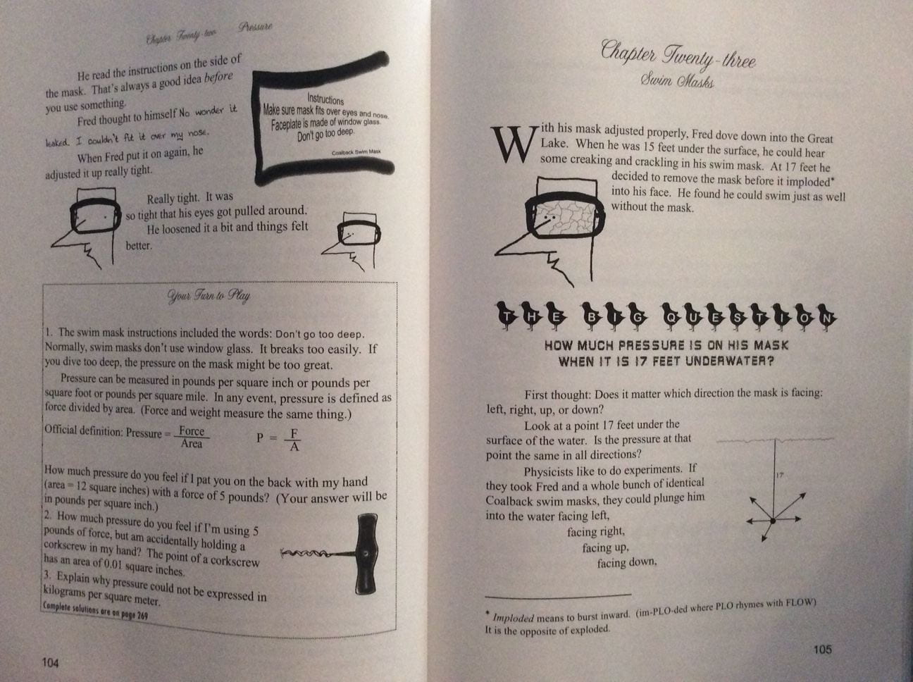
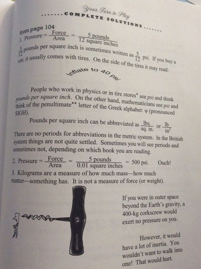
Our instructions for driving onto K’gari, tell us to reduce our tyre pressure to 22 PSI.  Just so happens we have been learning about ‘pressure’ in our Life of Fred stories ‘Pre-Algebra with Physics’.

We learned that pressure is measured in pounds per square inch, or ‘PSI’.

We learned this as Fred had to dive in a lake to retrieve a golf ball that had just hit him on the head, wearing a mask made of window glass bought from a dodgy guy… now the kids know what PSI means, they can help their Dad measure the air pressure in our tyres before we drive onto K’gari, and I am sure their Dad will be delighted when they give him a physics and maths lesson about all that they have learned about pressure in our Fred story 🙂

We haven’t even started on the track notes of the walk, or how on earth we are going to carry food and all our gear for 6 days (the longest thru hike we have completed up to now is 5 days), and we need to build up to 8 days for our Tassie hikes…a little geography and some maths to calculate our best weight distribution coming soon 🙂

March 18, 2021

Getting fit on Table Top Mountain

Author of this blog post: Lucas

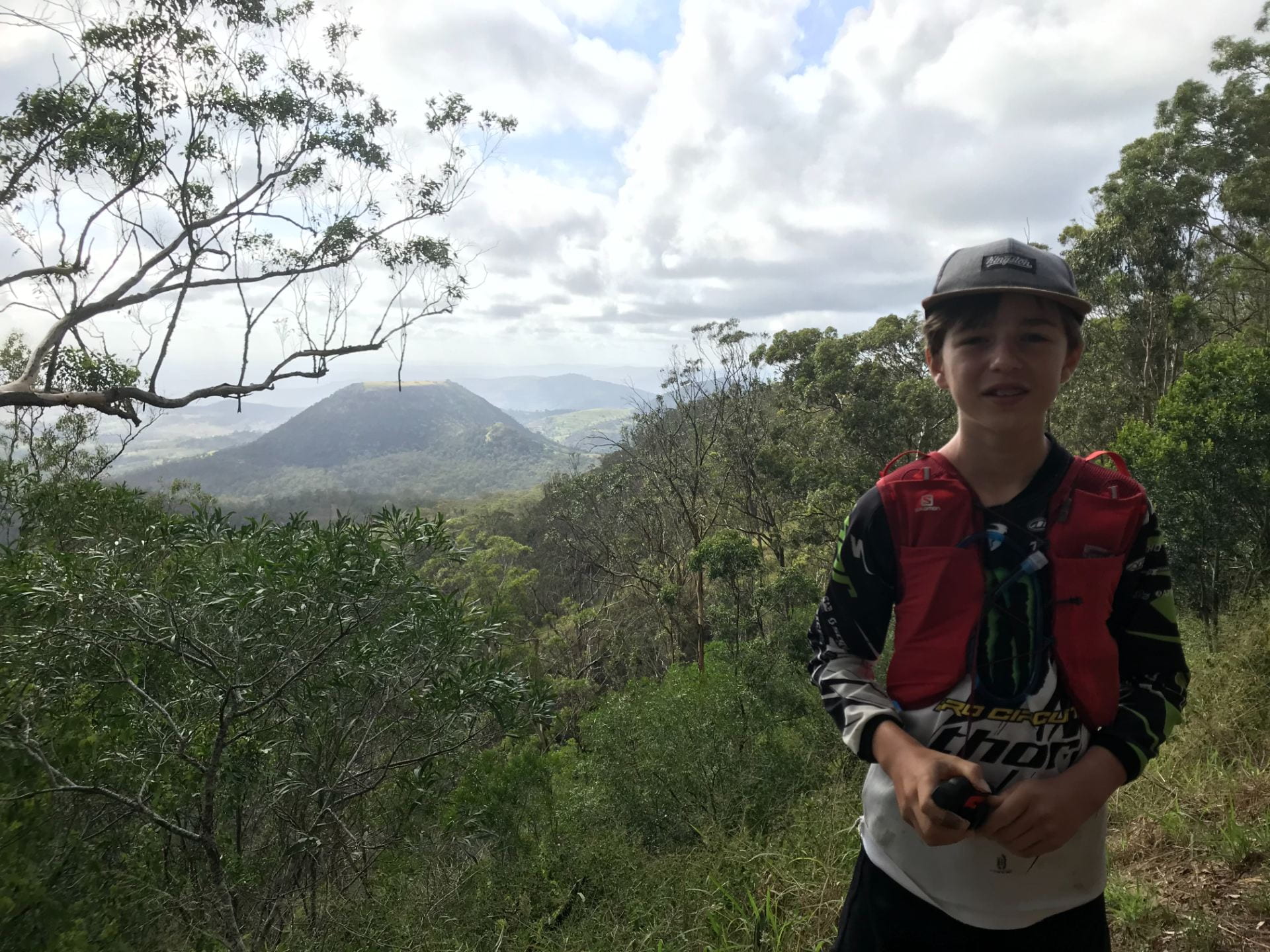
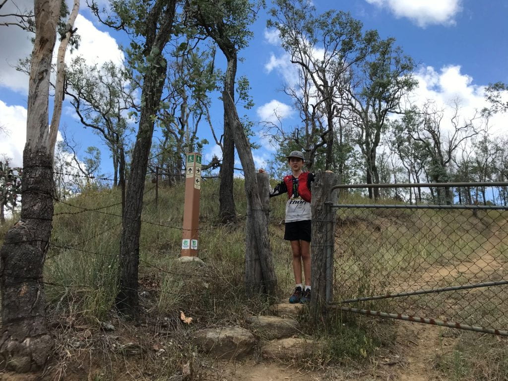
Me standing on the Paledote trail on the way to Table Top

My Mum and I tackled Table Top Mountain and it was a challenging but spectacular hike! Here is some information if you would like tackle it yourself!

Description

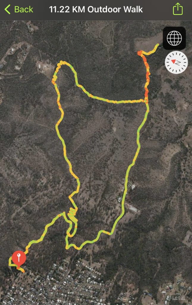
The Table Top Mountain walk is a great walk for adventurous families. You can either start at the base of the mountain and walk up to the top and ends up being around 2km or you can choose to start at Picnic Point and it will be around 11km.


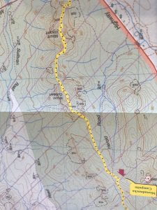
This is the route that my mum’s watch mapped.


Directions  

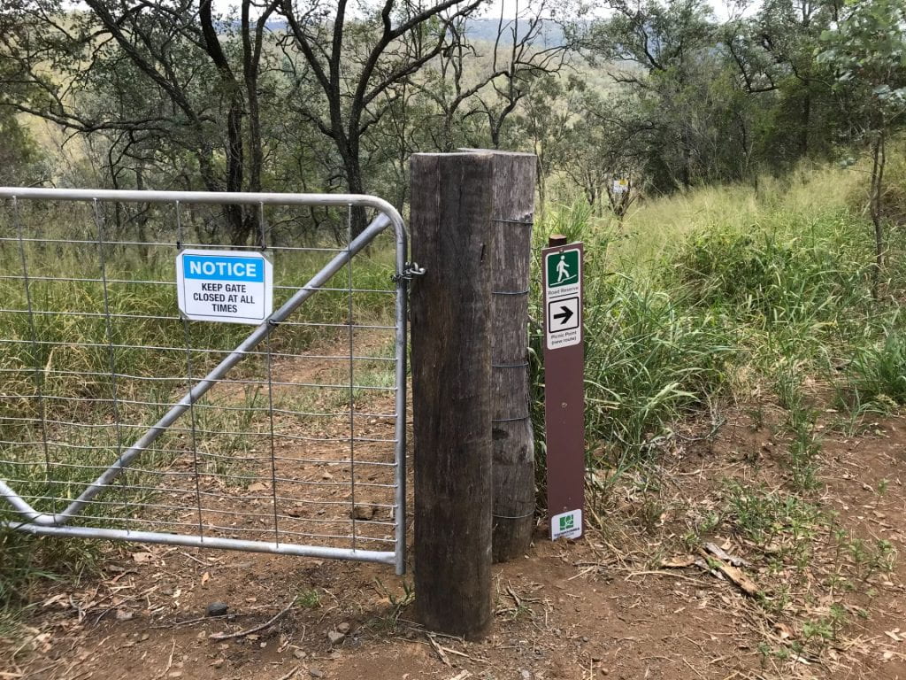
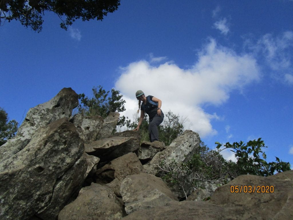
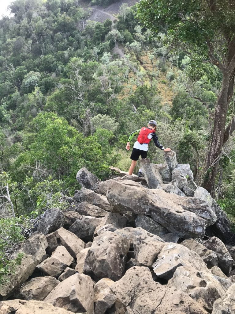
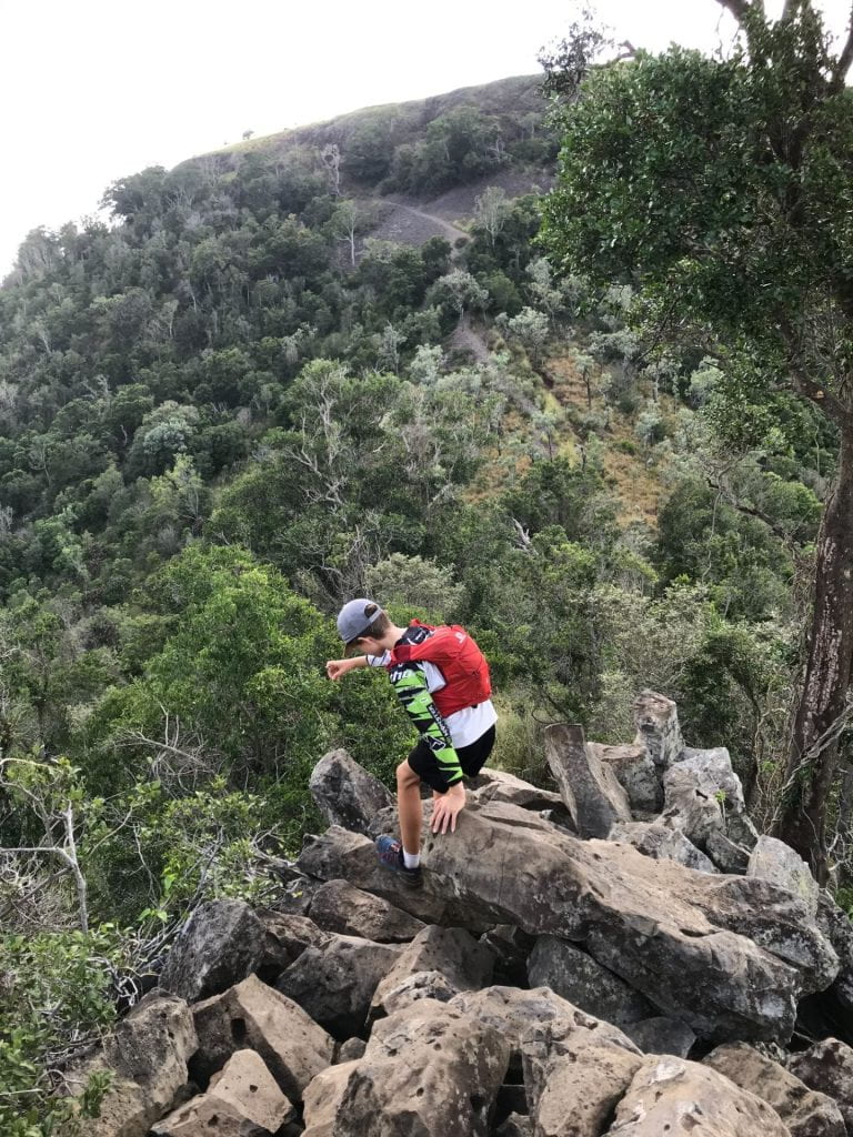
Picnic Point is a great place to start from because there is a spectacular view of Mt Table Top and the surrounding Mountains. There are also lots of car parks and many other walks start from there too. There is also a restaurant so after your walk you can go and get a cold drink and a meal if you want too. When you start your walk, head to where the restaurant is and find the sign that says Pardalote trail. Then follow that dirt trail till you get to South Rd. Then take a left turn and it will go down hill for the next 2km till you reach the base of Table Top Mountain. Then its a HARD rock scrambling big gravel and tough rock climbing till you reach the top. You can decide to go back the South Rd way or you can go back through a wide trail that goes through private farm land. It is a bit longer but it was cooler and it also hooks up with the Bridle trail and Fan trail walk that takes you back up the hill to Picnic Point.


 Overall perspective

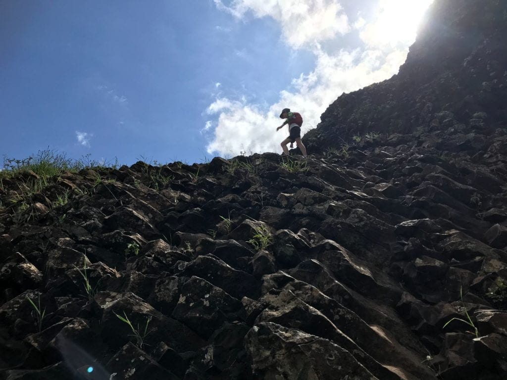
This was a great hike. I did it with my Mum while my sister and my Dad were volunteer working  at a multi-cultural sport festival in Toowoomba. When we were dropped off at Picnic Point we first didn’t know where to go so we had to ask some people for directions, but still they didn’t know where it was, so we had to figure it out ourselves. The killer bit is when you go down South Rd, it really kills your quads. The actual mountain bit was slow going and requires a lot of rock scrambling. Before the summit is really hard because there is this really steep rock face you have to climb up and there is no avoiding it.

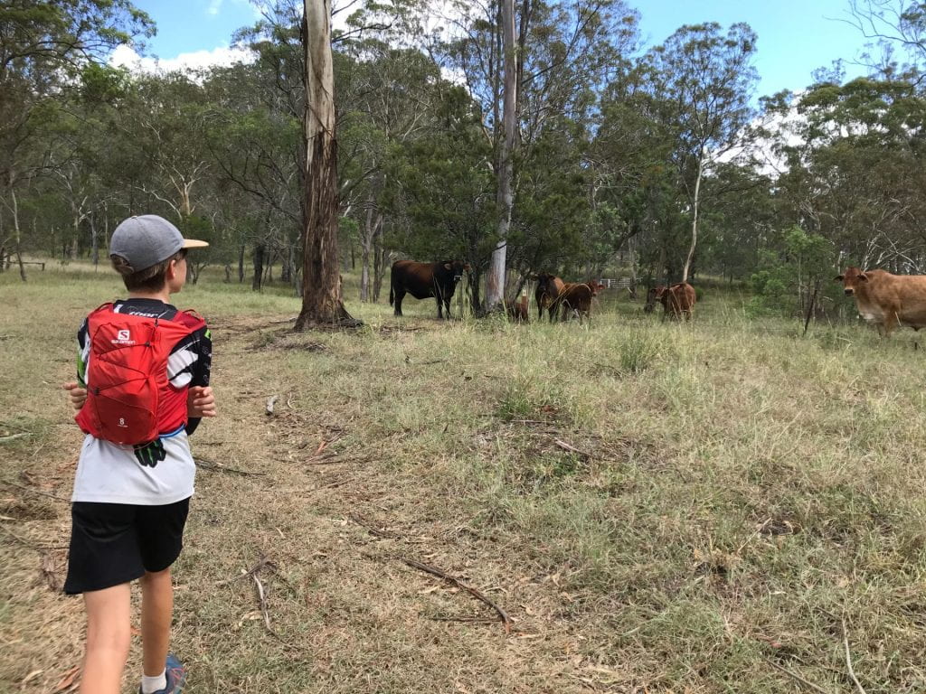
But the view is definitely worth it on a clear day. You can actually walk around the top of it but we didn’t because we didn’t know how long it was, and we wanted to get back for lunch. It is a bit easier on the way down too. When you get back down the base of the mountain I would go the new way where it goes through private property, it is a bit longer but it would be hot going up South Rd  on black tarmac in the middle of summer. Although it was a bit scary going past them big cows.

If you go from Picnic point then you will have to go down a hill to get to the base of the mountain, then climb up the mountain,  then back down again to then have to climb back up to Picnic Point again (Hahahaha) so it is a HARD strenuous walk. But we didn’t stop at the restaurant we met my sister and my Dad at the Wendland Deli for a big Guinness pie!

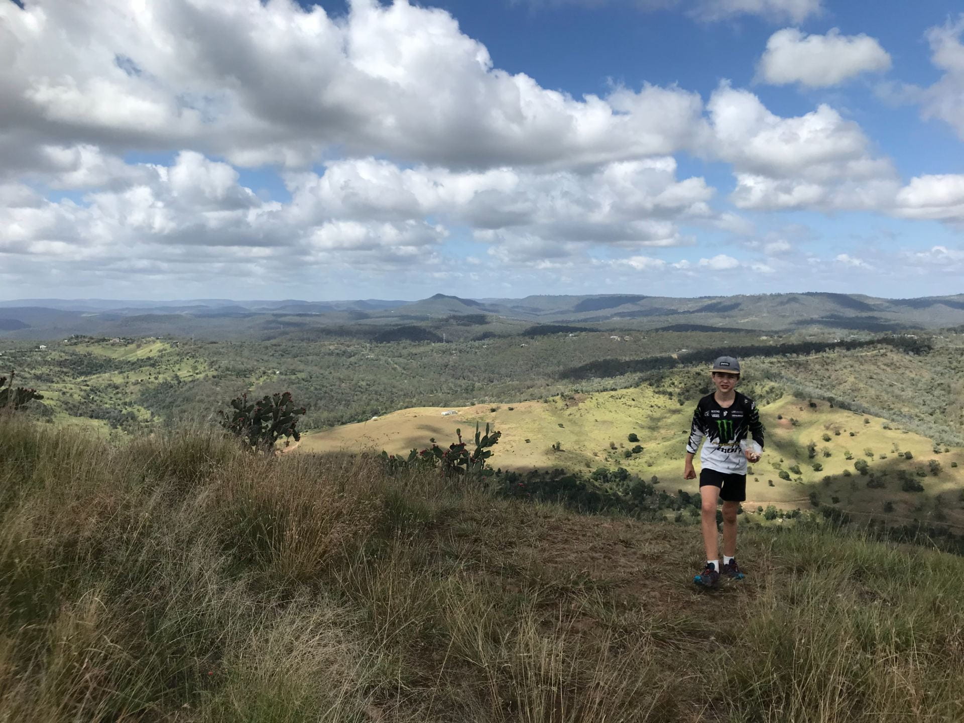
View from Table Top Mountain.

The Table Top Mountain was a great walk and would defiantly do it again.


March 16, 2021

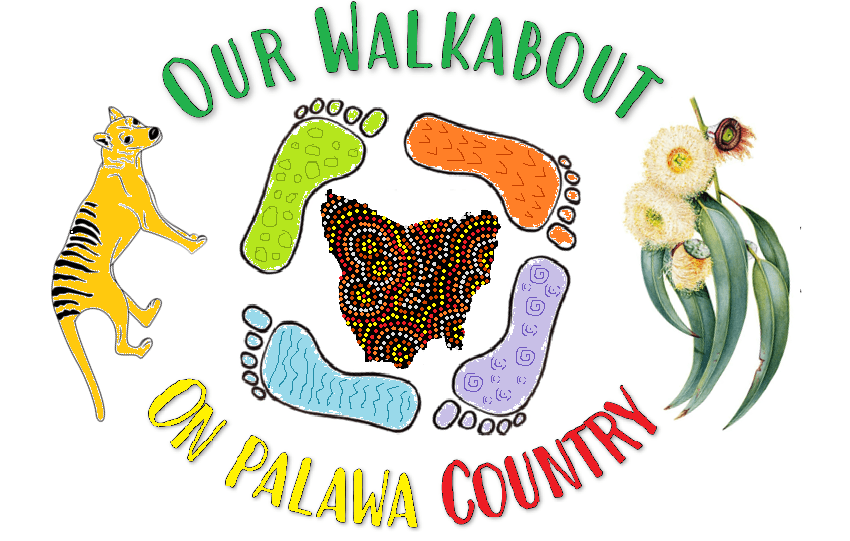
Our Walkabout On Palawa Country

Author of this blog post: Aurora.

It’s official! We are finally on a path to… Our Walkabout On Palawa Country: Three months of wild and woolly hiking in the rugged Tasmanian wilderness.

We have six months to plan, prepare, research, and get fit. But first things first… We needed to make a team emblem.


We brainstormed everything that came to our mind about Tasmania and researched some symbols. We wanted something visual that represented our strength as a team and our own learning and growth.

We came up with our team’s name: Our Walkabout On Palawa Country.

We learned that a walkabout is a transformation. The goal is to walk and survive in the wilderness, but also to discover yourself and a time for self-evaluation and reflection. Just as Aboriginal people used songlines as spoken maps, we need to learn how to learn modern instruments like a compass and a PLB. Our walkabout will give us the skills, resilience, and strength, for our learning and growth in the future.

We also want to acknowledge the Traditional Owners of Palawa Country and recognise their continuing connection to land, waters and culture, and pay our respects to their Elders past, present and emerging.

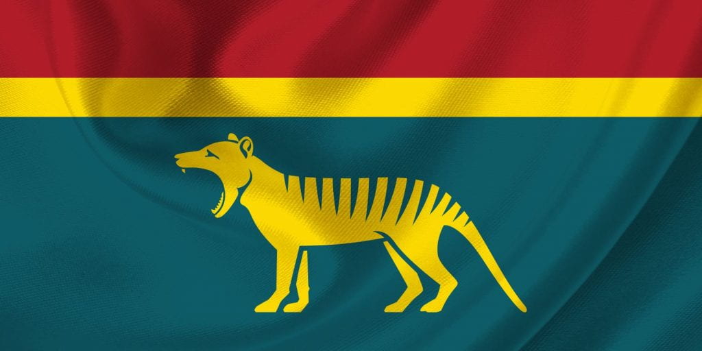
The colours we chose for our team’s name are the same colours as a new proposed Tasmanian flag.


The green represents the Tasmanian wilderness, the red represents the land, and the gold represents the blue gum which is native to Tasmania.

This is why we used the Tasmanian tiger and the blue gum to hold our emblem together. The Tasmanian tiger is a symbol of strength and bravery. Unfortunately, they are extinct because the settlers shot them all because they were a pest to their farmlands. Today the symbol serves as a reminder for us to look after our land and our wildlife.

The four feet represent our family, going on our walkabout around Tasmania and reminding us to stay grounded and connected to the land. The colours represent the four elements of life: water, fire, earth and air.

The centre dot of each circle in the map of Tasmania, are the locations of the thru-hikes that we will be tackling. We will be doing lots of day walks in between but below is the table of our thru-hikes.

Trail Name Kilometres Days
Freycinet Peninsula Circuit 27 KM 3 Days
Maria Island 48 KM 4 Days
Cape Pillar 29 KM 3 Days
Frenchmans Cap 54 KM 5 Days
Walls Of Jerusalem 43 KM 3 Days
The Overland Track 80 KM 7 Days
South Coast Track 85 KM 8 Days


This walkabout is six months away, but the journey has started.  Looking at the terrain of the South Coast Track, we’d better get moving. 😊

References:
Flags For Australia
Walkabout – The Aboriginal Australian Hike That Serves As A Rite Of Passage

February 20, 2021

Green Gully Trail

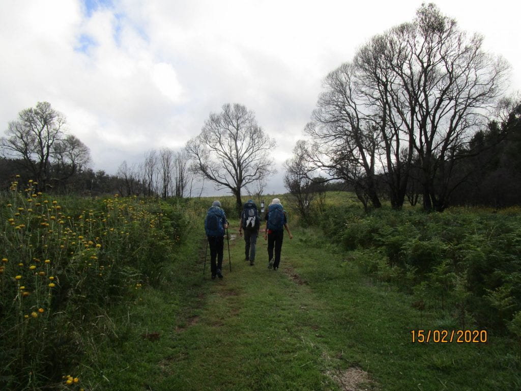
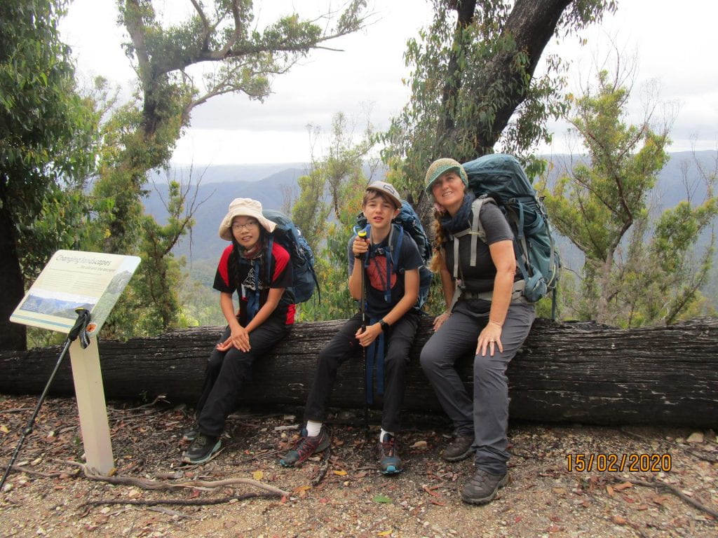
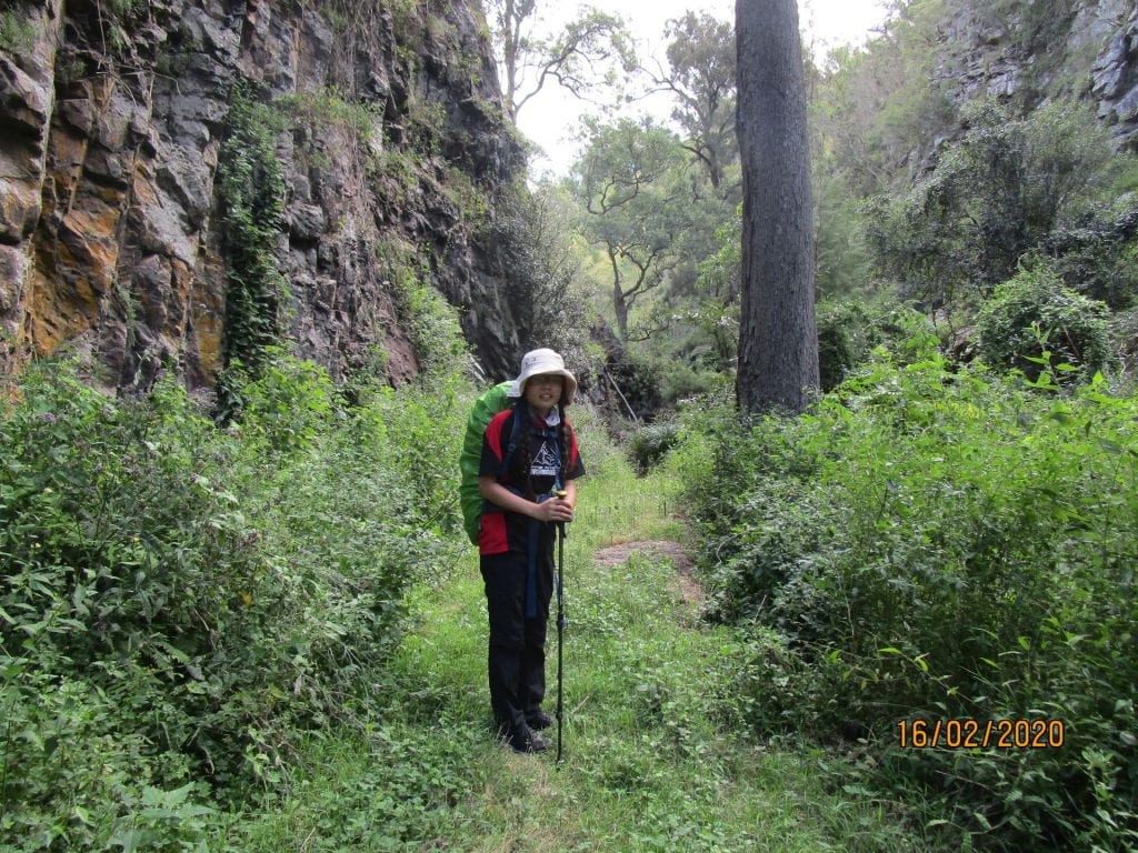
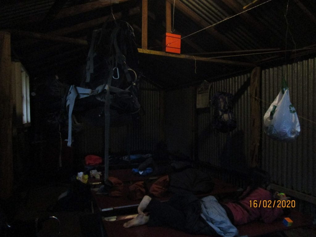
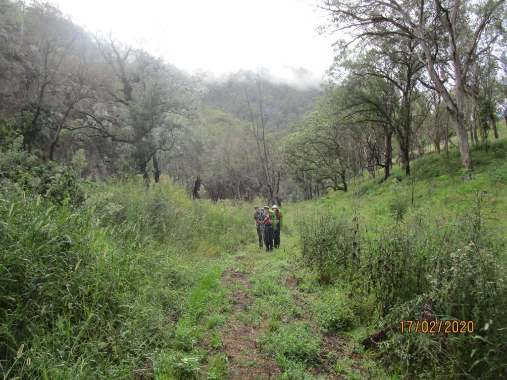
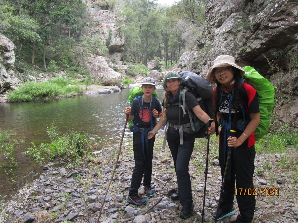
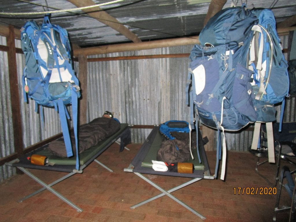
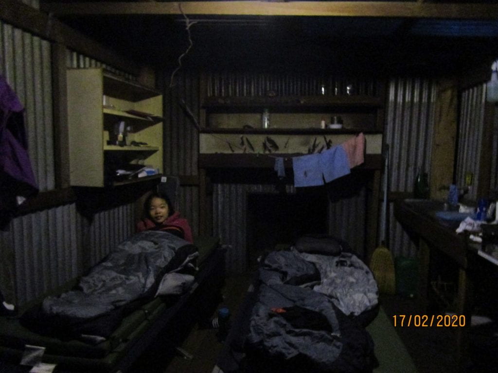
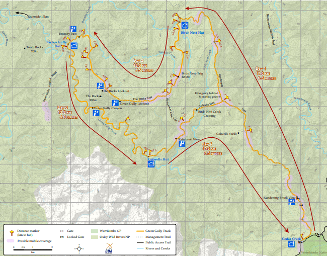
The Green Gully Hike is a 65km, 4 day/5 night thru hike, in the Oxley Wild Rivers National Park, NSW.  It is a hut to hut hike, the huts being restored stockman huts built in the 1930s for droving cattle through the ranges.  Previous to those days, the land belonged to the Thungutti people.  So as well as getting an appreciation for the relentless hills and rugged terrain these people traversed in, we also ventured a historical journey.
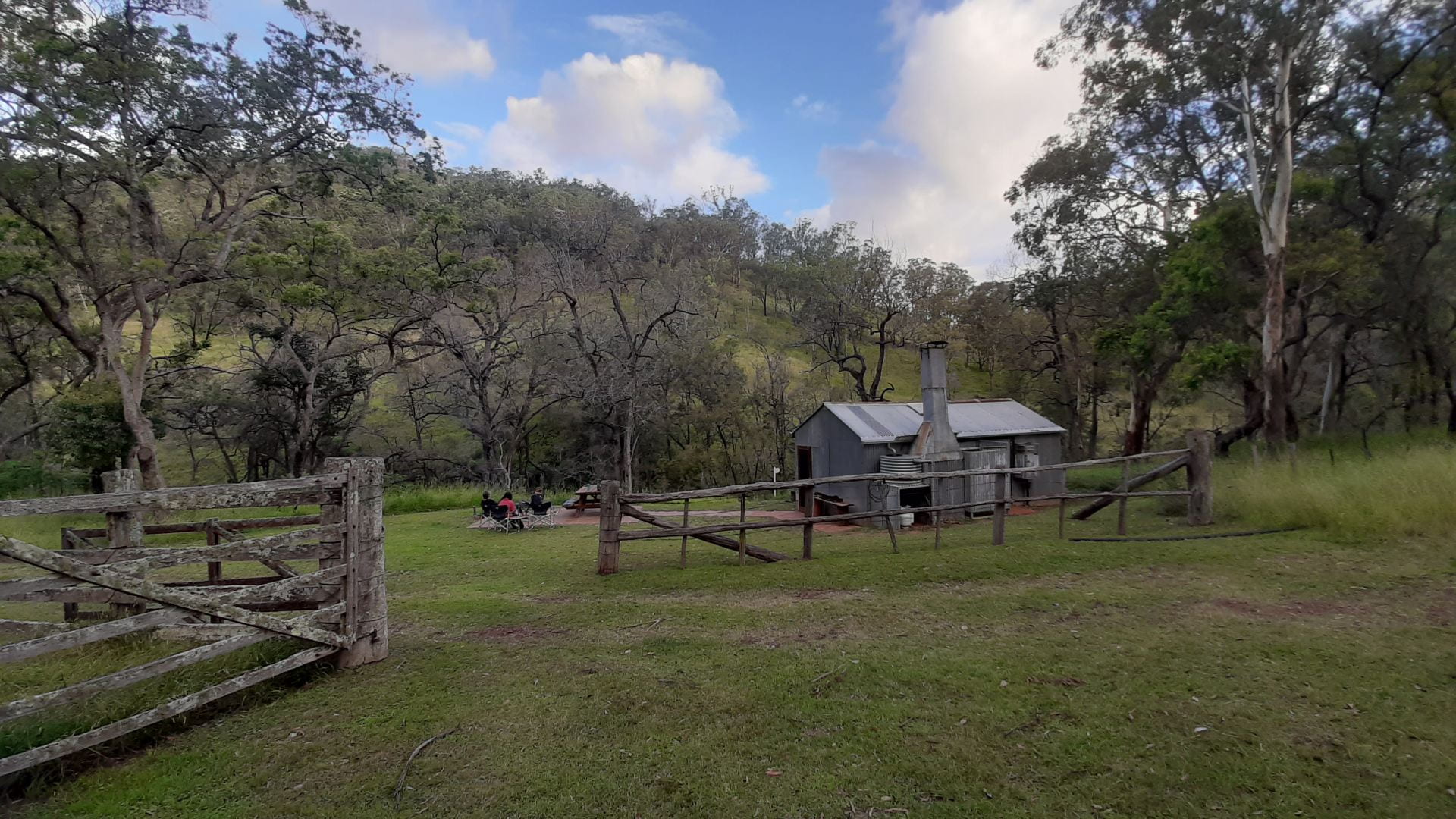
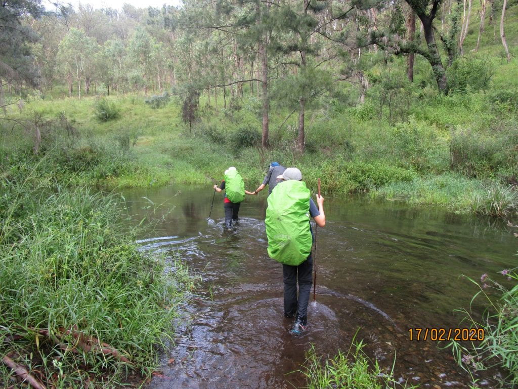
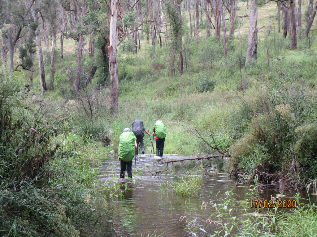
NSW Parks have done a pretty good job of making this hike a great adventure for hikers.  Groups of up to 6 can do the trail at a time, children must be over 12 due to the waist high river crossings.  There are 2 cabins 50m apart at the start of the hike, one for the group’s first night, and one for the group’s last night.  The last night’s cabin is pretty cushy, with a full kitchen, so when you arrive on the first night, hikers pop to the last cabin, and put a feast in the fridge and cold drinks to look forward to as a reward on the last night (and just hope no one eats your steak or drinks your beer :-).  You can also meet and chat with the group that have just finished, their stories can provide tips for reassurance…or on the other hand may freak out your pre-hike nerves even more 🙂
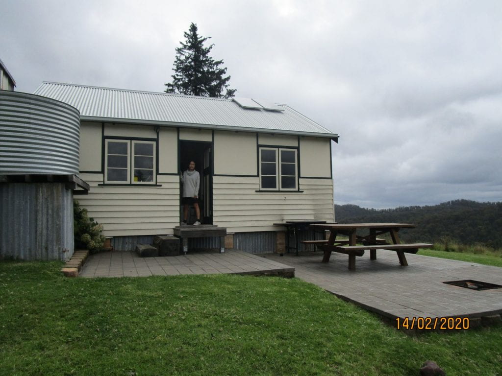
There are then 3 really basic  huts along the trail, and hikers have to hike the the trail the same direction, so the way it works is that each group will always have each hut to themselves.

After a long drive to Walcha, then another hour or so on country roads, we finally arrived at our first hut.  Having access to our car still, our first night was a good transition of getting used to the basic facilities of the huts, but with a few creature comforts, before we set off the next day with just the packs on our backs.

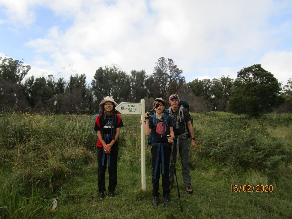
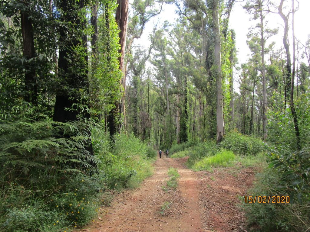
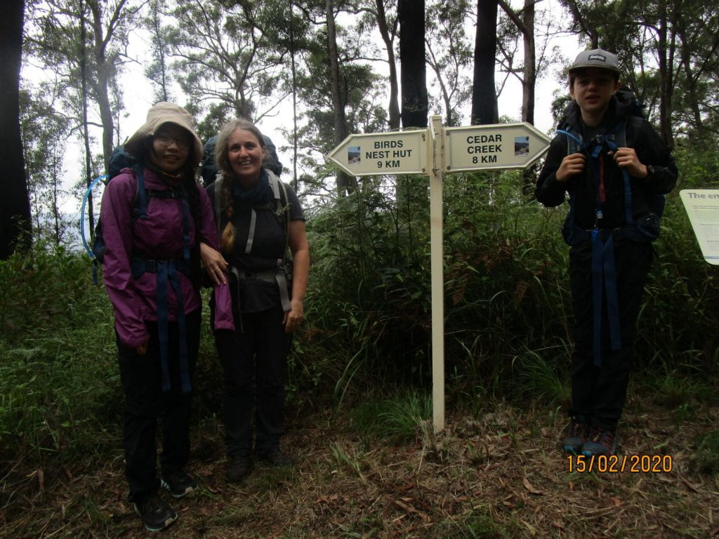
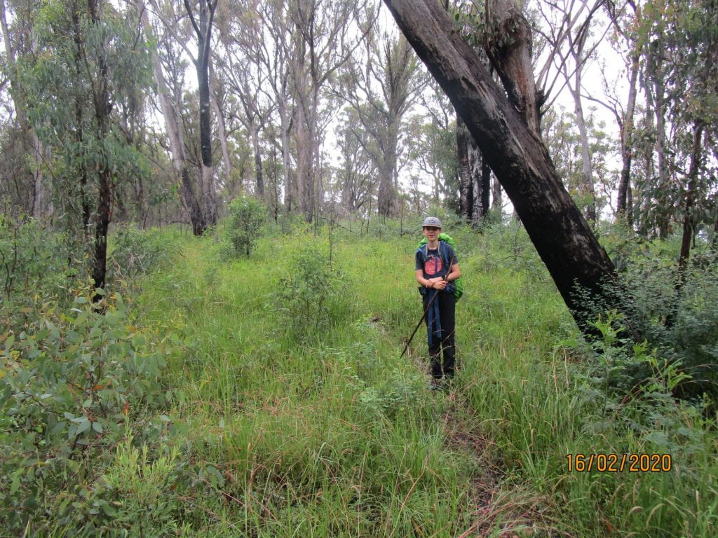
Day one was 17.5km to Birds Nest Hut.  It was mostly on fire trails, so was a little boring adventure wise…but still a scenic, hard and undulating track with our packs at their heaviest.  With the benefit of hindsight, it was a perfect introduction to getting used to our packs and easing us into the terrain ahead.

Our first hut was a welcoming site.  Basic, but still the luxury of not having to carry tents 🙂

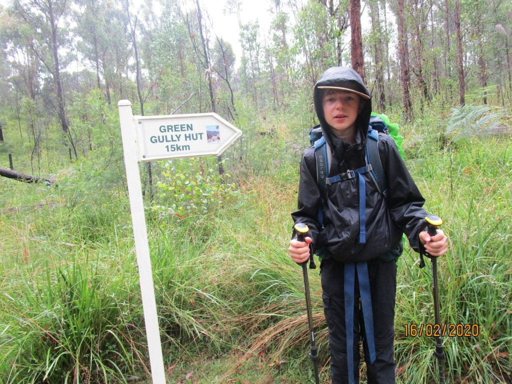
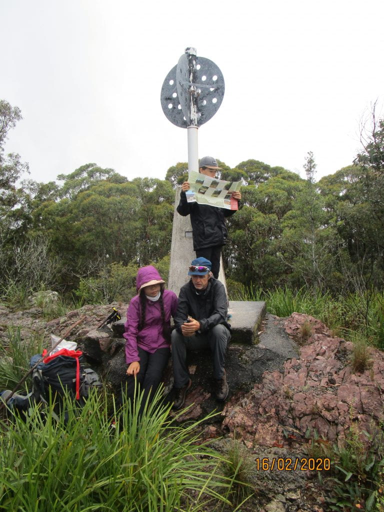
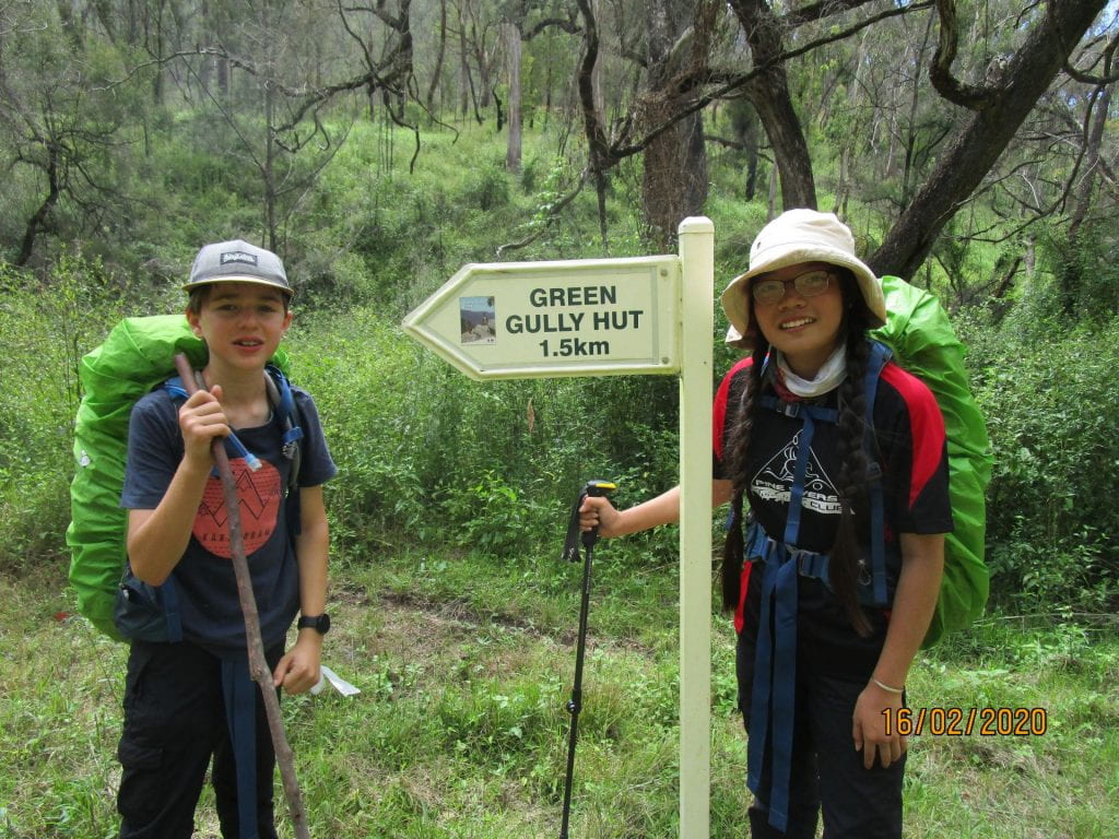
Day two was 15km to Green Gully Hut.  This day we had to start with a gruelling climb to the highest point of the track.

We then had to tackle a steep decent into Green Gully.  It was STEEP, and trackless, at points seeming nearly vertical, slipping down rocks with our packs making it difficult to balance.

But our hut awaited us…a red back infested one 🙂 We had to remove one which had chosen the sink tap to nest on…attacking us every time we tried to turn the tap on.

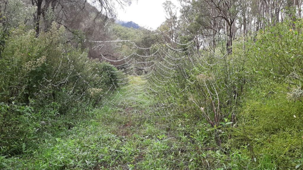
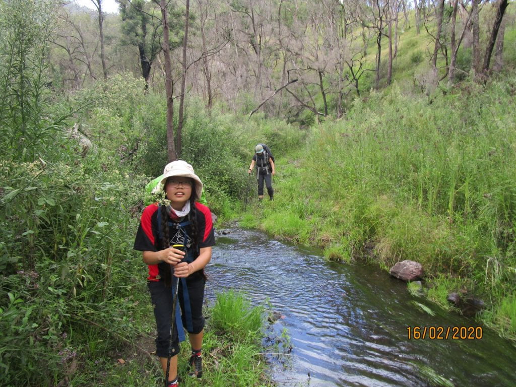
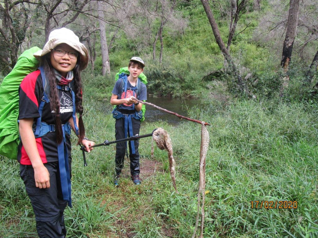
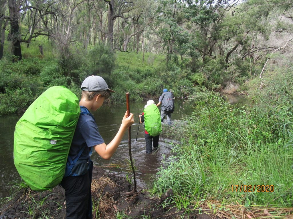
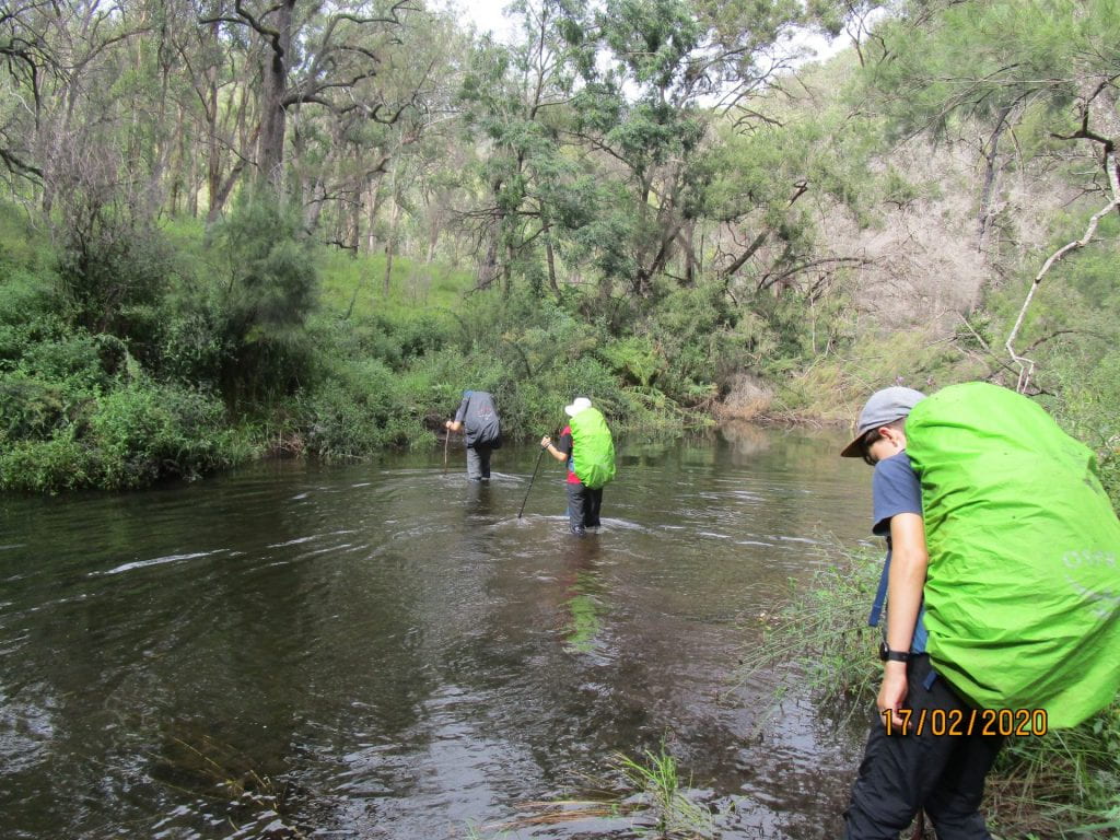
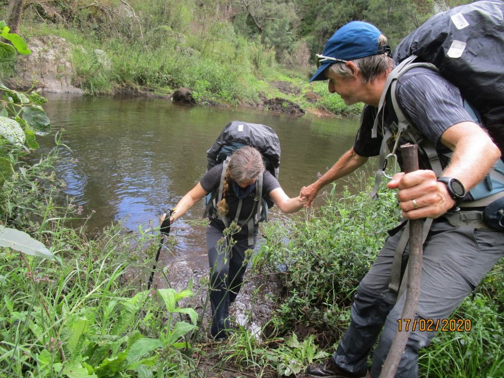
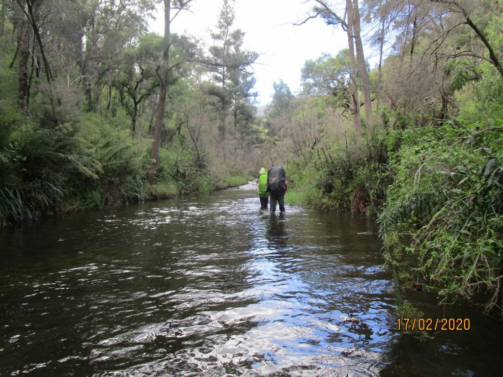
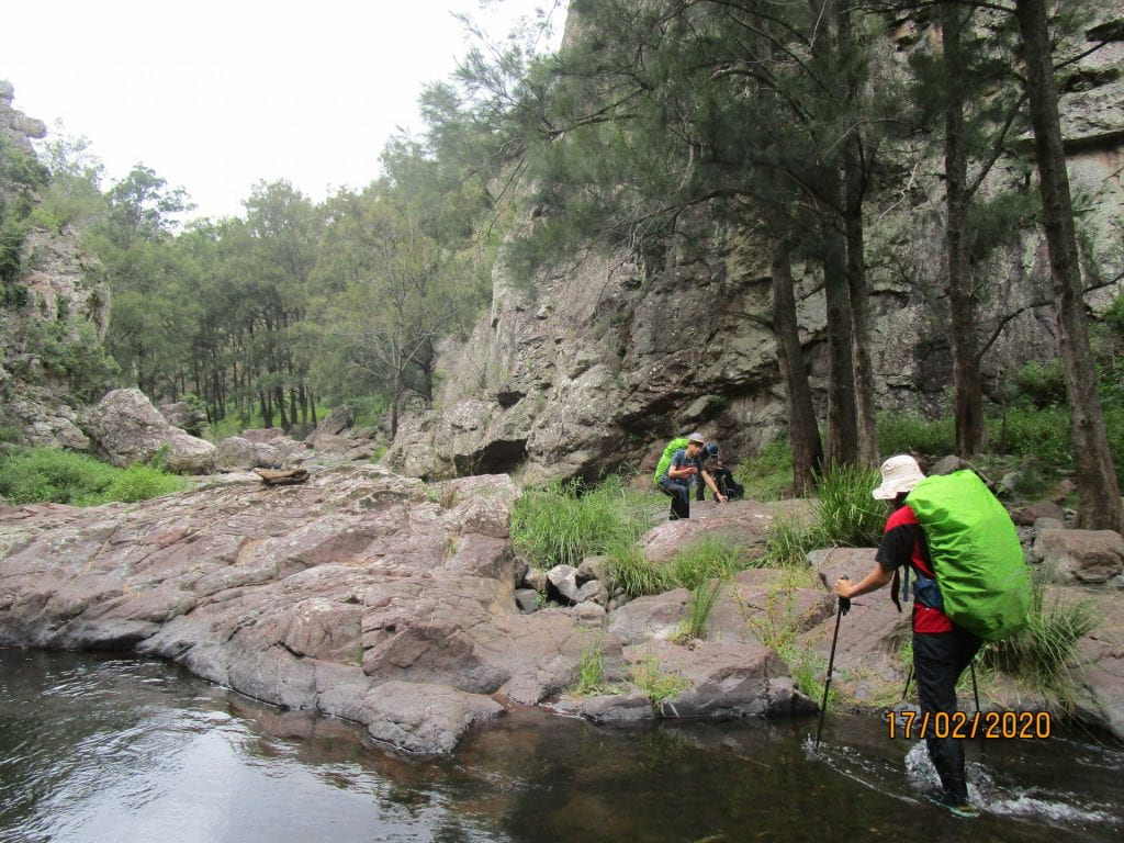
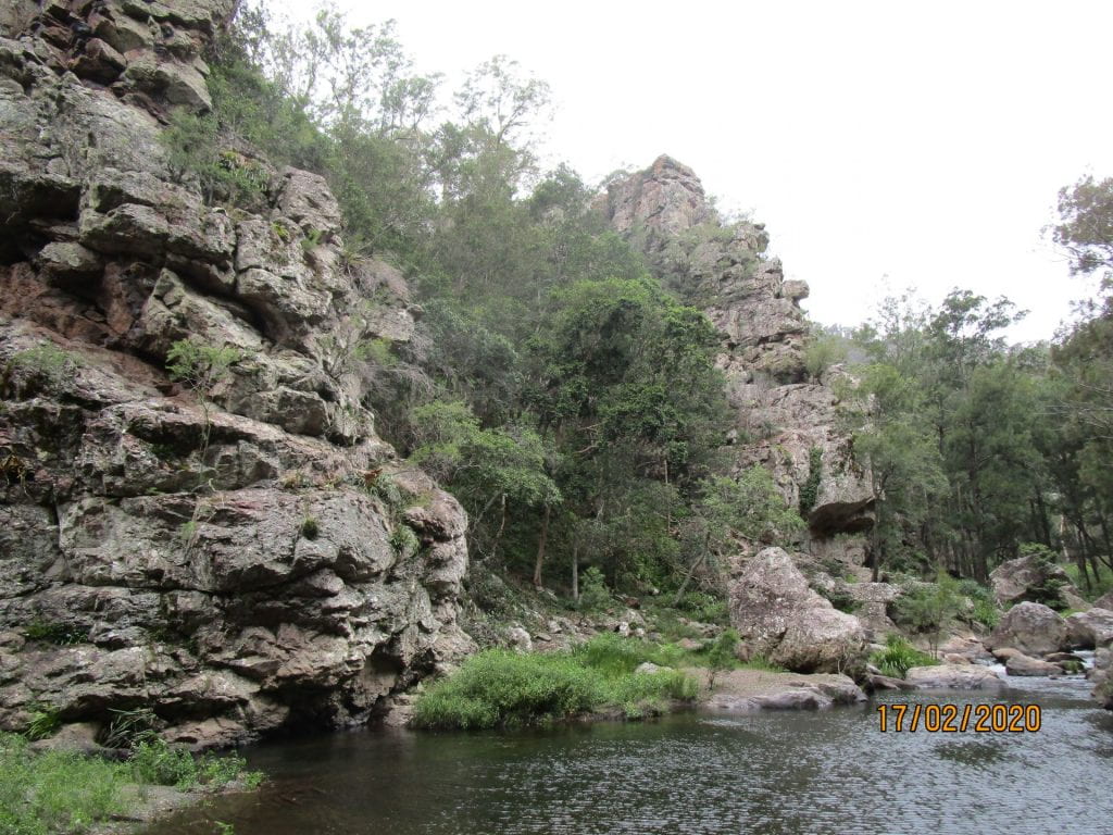
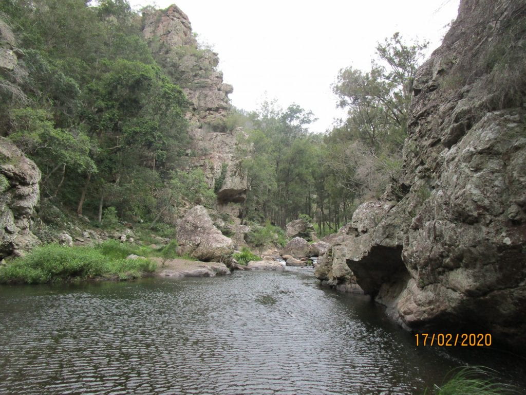
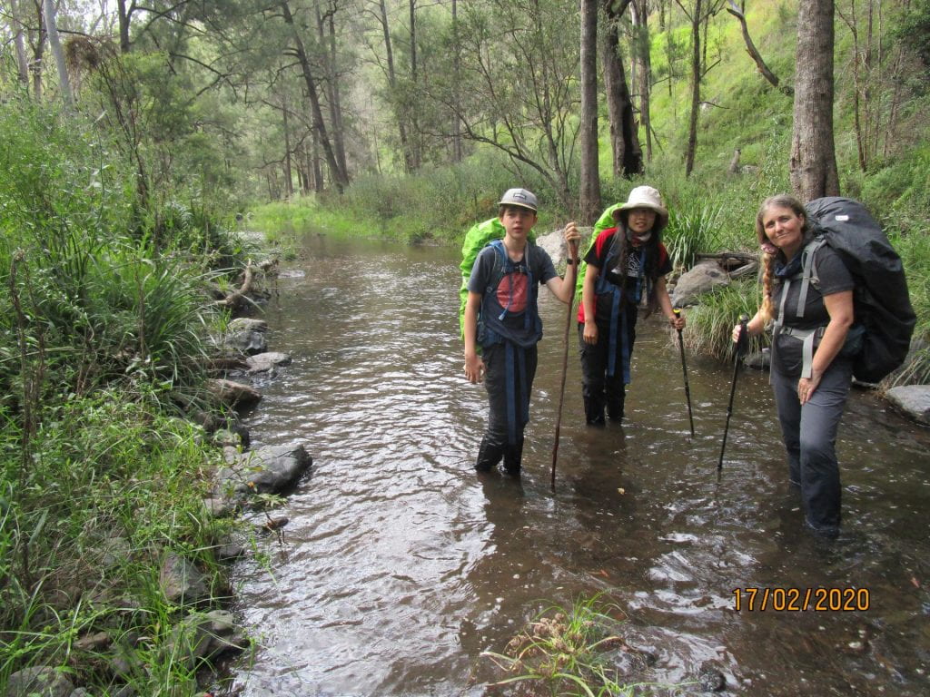
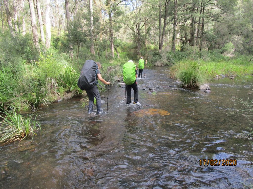
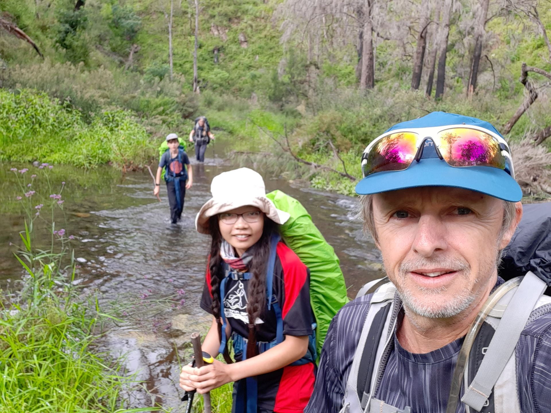
Day three was only a 13.5km day along the creek.  The Gully was lush green, and had a Jurassic Park kinda feel to it, we were looking forward to the flat scenic walk and an easier day compared to the previous one’s terrain.  However, this day turned out to be our hardest and longest! We had read and heard how there was no really defined track in this section, but how you couldn’t get lost as it was really just following the creek.  Wading through the creek at points was inevitable, and we had heard parts would be waist high, so we were prepared for that.  However the rapid parts were so difficult to walk through with packs on, the rocks were slippery underneath.  When we could find sections that we could walk on the banks, they were head high with various kinds of nettles, and we had to literally bush bash through overgrown grass and weed.  It was hard going.  We had long pants on in preparation for the overgrown track, but we were not prepared for bush bashing through such overgrown head high nettles, we really should have had gaiters on…not just for the nettles but we bashing through snake territory… but fortunately we did not encounter a live snake, just a snake skin…which we think may have been from a King Brown.  We were in the territory of so many venomous snakes, so the lack of gaiters was a bad parenting moment (no matter how much money we have spent on gear to keep the kids safe through the bush there’s always something to beat oneself up about as a parent).  At least we had invested in a PLB (Personal Locater Beacon) that had satellite navigation and SOS function. I realise that I don’t have any piks of the wild bush bash parts…too busy bush bashing to get the camera out lol 🙂

At a canyon there was no way through but for Lee to carry our packs one by one through and for us to navigate our way without getting washed away…what would we do without Dad 🙂  We have no piks of the rapids we had to navigate or the canyon crossing…we had to put camera in water proof bag for these stages…they will just have to be in our memories, and to see for yourselves you will just have to do the hike 🙂

Nine hours later we arrived at our hut! Never has it taken us 9 hours to complete 13.5kms lol!!! Arriving safely at the hut, Lee was relieved we were snake bite free, and had not had to go into the dark…navigating no track and the creek would have been a challenge with packs and headlamps!

Day 4, we laughed at the fact that no adventurous bushwalker EVER likes a fire trail…but we were all pretty happy to be on a fire trail for our last day.  17.5kms back to our last night’s cabin.
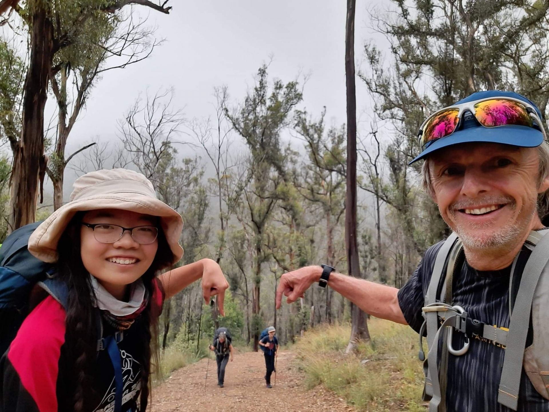
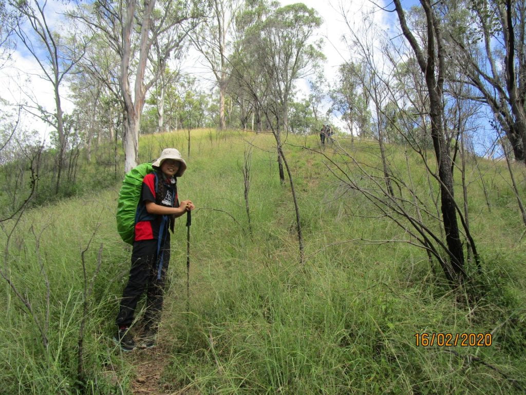
This day started with a relentless 3kms of STEEP climbing…

Our last little bit in the rain 🙂

Despite having previously endured 3 full days of rugged terrain, and despite the fact that the first 3kms of this day was a gruelling 600m climb…but with our packs at their lightest, a actual trail to follow, and the lure of steak and potatoes in the fridge waiting to be roasted, we finished at a strong and happy pace.  And finally…the relative luxury of our final cabin 🙂

The Green Gully Trail was certainly one of our toughest through hikes we have taken on, but we learned how to use our PLB, got a little more ‘trail fit’, and a little more experience for taking on even more challenging adventures 🙂
December 5, 2020

Aboriginal Perspectives – Upside-Down History of Down Under

The Bibbulmun Track traverses the country of a sub-group of the Nyungar, Nyoongar or Noongar people. As the Noongar people are known and acknowledged as the traditional owners and custodians of the land and waters over which the Bibbulmun Track passes, naturally this cultural connection will be integrated into our elemental learning, as we prepare to cross Bibbulmun Country.

We have already found some library books and been watching some videos that are giving us some initial connections to our learnings, which we will write about soon.

Aboriginal perspectives in Australia are important to us as a family.  We don’t really ‘do’ history in any formal way, other than coming across great historical ‘fiction’, movies, news and events etc. that often serve as a springboard to discuss issues and perspectives.  Lucas loved the ‘Treehouse’ books that Terry Denton co-wrote and illustrated, in fact, as a reluctant reader, they are the only books he has literally ‘read’ and looked forward to each sequel coming out.  Terry Denton has literally, very cleverly, had every reluctant reader boy in Australia ‘reading’ his books 🙂
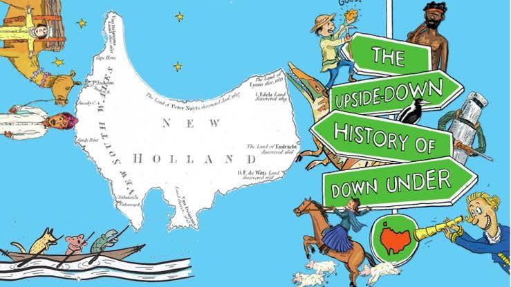
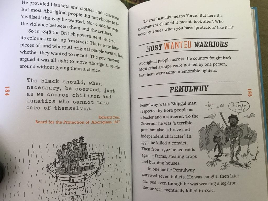
So when I found this ‘Upside-Down History of Down Under’ co-written and illustrated with his typical cartoon humour by Terry Denton, aimed at around Year 8 kids, I thought it would be a great Aussie History book for us to read together, and I have not been disappointed :-).  It tells the story of Australia from 230 million years ago to Federation.

It is easy to read, full of diagrams and cartoons, and has the right amount of ‘bigger’ words, not disrupting an easy flow, but enough to extend thinking and promote discussion. It weaves where the authors may have found evidence about what they are writing: science, oral stories, newspapers, journals…again not disrupting the flow but mentioned here and there to promote discussion of perspectives and interests in the construction of history.

C0-writer Alison Lloyd also has a website with more info and a teacher’s guide if you wanted to do some extension activities, the book is also loaded with stats, numbers and geological events that can springboard maths and science explorations …but just reading together is enough to spark lots of conversations and discussion, and we will of course integrate it into the other things we are leading to at the moment 🙂
Love finding these gems created by peeps that know how to engage kids in meaningful learning 🙂
November 27, 2020

Walking and helping nature out a little bit

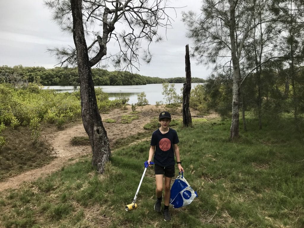
Lucas has bought himself a rubbish picker so that he can help nature out a little bit while we go on our walks.

At one of our local wetlands yesterday he filled 2 bags of rubbish, cans, bottles, chip/lolly wrappers, anti-bacterial wipes, fishing wire, pliers, an atomiser spray pump, maccas and 7/11 smoothie cups, cigarette butts, bottle tops….and we only walked for 1km (and 1km back).

He collected 10 bottles and cans that can be recycled at cash for containers, so a bonus dollar to add to his next trip there 🙂

When walking as much as we do, cleaning up the rubbish is something we may as well do, helping us be in the moment with purpose, and helping our natural environment too 🙂


November 19, 2020

Starting to explore the Bibbulmun Maps

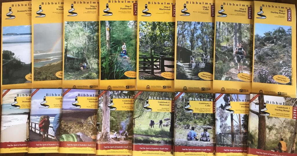
We received our maps for the Bibbulmun Track 🙂

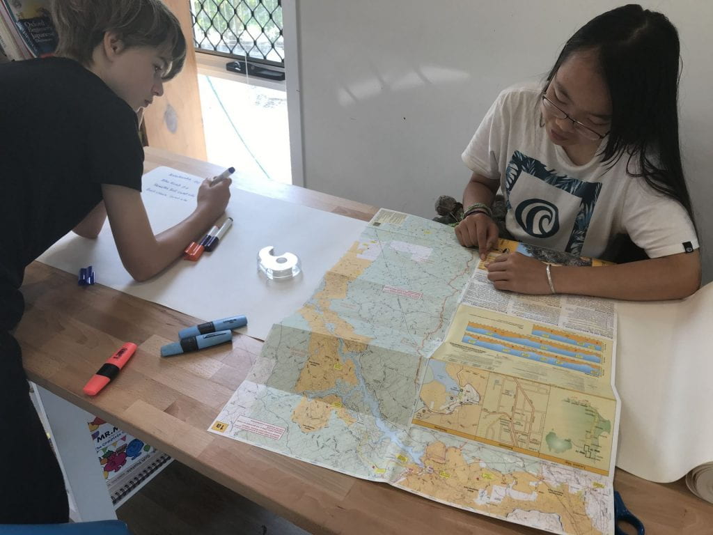
We are starting to explore the first section of the trail, Kalamunda to North Bannister.  Here the kids are calculating the distances between camp sites in this section.  This initial exploration will start to give us an idea of time needed to complete the track, how much food we will need to carry for each section, and how much money we will need to pay for it all 🙂 So this is the start to understanding how we are going to plan, and budget for this adventure. I am trying to step back, and let them work it out…that’s why we start planning so early…so there is time to learn 🙂

Calculating the distances between campsites of section 1 of the Bibbulmun Track

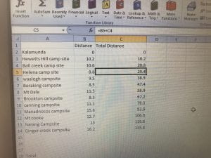
After writing a list of all the camp names and the distances in section 1 of the track, they started a spreadsheet.  We ultimately need this spreadsheet to have every bit of planning and link to a budget spreadsheet, which they are also going to create – so it is a big task 🙂  But we agreed that just ‘starting’ was the best way to a daunting task.  As we build the information, the layout, design, colours, adding of sheets, pie charts…can all be a work in progress.  Today they learned how to add a formula that calculates the running total of the kms 🙂
The first section is a total of 135km, with 12 days of hiking before getting to a town 😱 This means carrying 12 days worth of food 😱 Some hikers ‘double hut’ to shorten the length between towns.  We like to be in the moment, and of course have a little time to just ‘be’ in the afternoons.  We are not ‘double hut’ kind of peeps 🙂 But…the thought of carrying 12 days worth of food was enough to make the kids use their map skills to study the track a bit closer 🙂 Could we ‘double hut’ on some of the days?
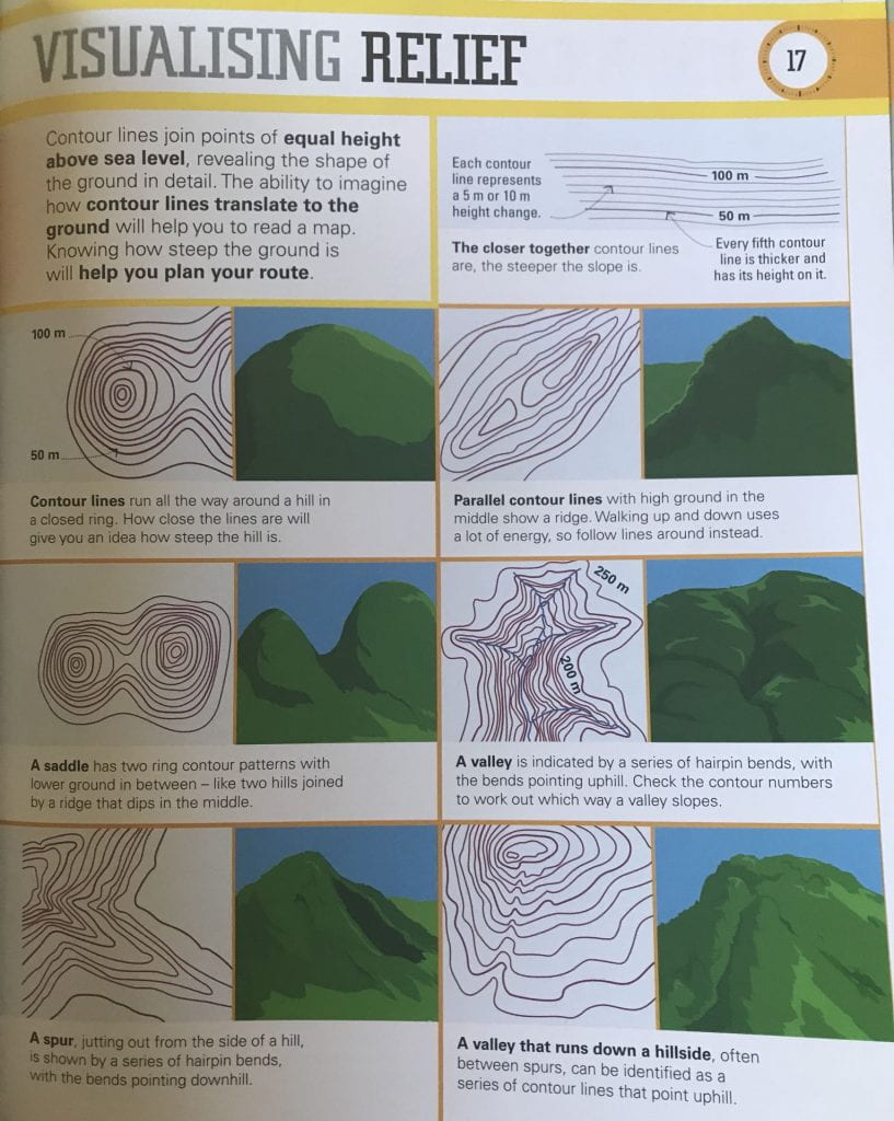
We have been reading a few books from the library about navigation, as we plan to learn how to use a compass on our overnight hikes that we will do over the next few months testing our dehydrated food and gear (and I mean use a compass properly, not just have one with us that we don’t know how to use 😄) This DK book ‘Survival for Beginners‘ was really good to help the kids get a visual of the contour lines.

We know from previous hikes, that sometimes a 9km hike can take longer than a 20km hike.  Distance alone is not enough to determine which days are possible to ‘double hut’.  So the kids then got to studying the section 1 map a little more, studying the contours, and the terrain profiles.

We probably won’t know till we are on the trail what we will do, we will need to be prepared for 12 days in the bush 🙂 But the thought of 12 days without access to food was enough for the kids to study the map a little closer than they would 🙂